What's new

Russia's Luna-25 Has Crashed Into The Moon: Tass

The reason is no o e really cares

The U.S, Russia, China have all sent probes to the moon

Do you think the U.S 50 years after landing a man on the moon couldn't?

The point is why would they spend money doing so?

Point is US did lot of spending after for space race with USSR.. now that UsSR is gone..they have none matching their prowess.. so now USA does what is necessary for Business and national security...

US spies on the whole world using space infra.. controls GPS networks even in hostile countries.

What else is needed from a space program ??
 
Nervous about ours now, looks like landing on the south pole is really really hard
Other than China's recent rovers, the last time there was a controlled descent was December 7, 1972 (Apollo 17). Since moon does not have an atmosphere, the probability of a successful unmanned descent is quite low. I would say a successful landing would be an extremely impressive achievement.
 
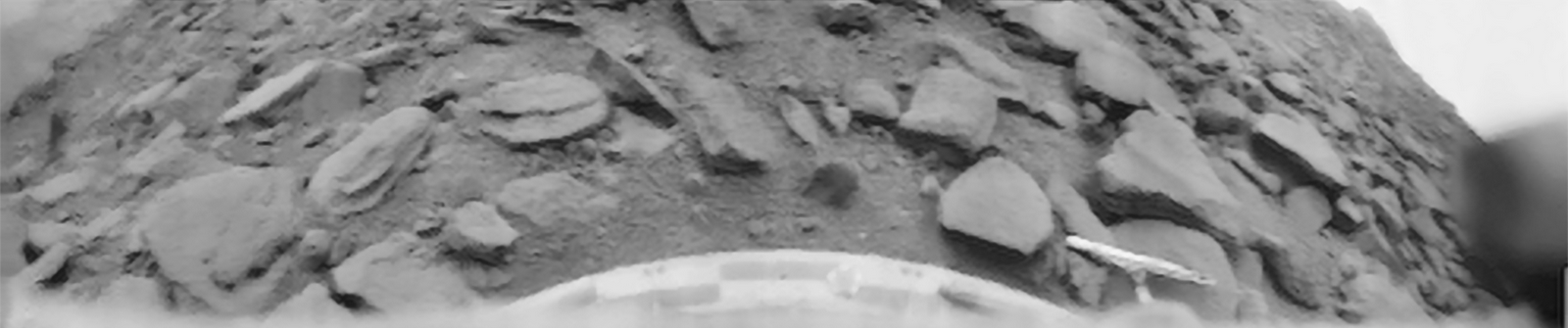
"At the lunar South Pole, the Sun hovers below or just above the horizon, creating temperatures upwards of 130°F (54°C) during sunlit periods. Even during these periods of illumination, soaring mountains cast dark shadows and deep craters protect perpetual darkness in their abysses. Some of these craters are home to permanently shadowed regions that haven’t seen sunlight in billions of years and experience temperatures as low as -334°F (-203°C).

Even using advanced sensors, the combination of terrain and lighting conditions will make it difficult to tell what the ground looks like from a vehicle descending to the lunar South Pole, and some systems may be vulnerable to rising and plummeting temperatures."

More here, since you can't open the link-

Astronauts descending to the lunar surface will be able to manually take control of a lander’s onboard automated guidance system if necessary, as Neil Armstrong did when the Eagle’s guidance system steered them four miles off course, heading toward a field of boulders. Armstrong had a clear, sunlit view of the Moon below, but Artemis astronauts will have a disrupted view, with long dark shadows hiding important terrain features. To help them navigate, they will have the advantage of preloaded maps providing topographic details from robotic missions like the Lunar Reconnaissance Orbiter (LRO) along with advanced training using technology not available to Apollo crews.
do you believe there is any place in the moon we don't have an exact map of
or do you believe any wind , volcano or river or quake on the moon to change the shape of terrain ?
and do you really believe quality of navigation system and auto pilots didn't change since 60 years ago ?

1. In the Lunar South Pole, the sun is always near the horizon, which make it difficult to charge solar panels as compared to other regions of the moon.
there will be no meaningful charging while landing , the charging and so if is gonna to happen will happen after landing or while the vehicle is still in moon orbit
 
Last edited:
2. South pole is in general darker than any other part of the moon because of its topography and sun's position, (Lunar mountains cast huge shadows due to the sun's position) which makes it harder for the electro optical systems of the craft to capture detailed images and these low quality images make it harder for the craft to determine its landing position.

those low quality images are of higher quality than images available to astronauts in all previous manned moon-landing
 
do you believe there is any place in the moon we don't have an exact map of
or do you believe any wind , volcano or river or quake on the moon to change the shape of terrain ?
and do you really believe quality of navigation system and auto pilots didn't change since 60 years ago ?


there will be no meaningful charging while landing , the charging and so if is gonna to happen will happen after landing or while the vehicle is still in moon orbit

Do you believe do you believe do you believe


Ofcourse we have mapped, that's why we are trying to land there. Do you believe do you believe do you believe?
 
Do you believe do you believe do you believe


Ofcourse we have mapped, that's why we are trying to land there. Do you believe do you believe do you believe?
well , can you explain whats the relation of the article with we knew exact detail of surface of the moon
or the fact that my mid-range 2 year old cell phone have thousands of time more processing power while consume millions of time less energy than all of Apollo missions combines

by the way as you admitted we have exact and precise by centimeter map of the moon then why the shadows of south pole considered hardship
I am not sure how your cell phone processing power can illuminate areas on moon that receive zero sunlight, can you shut your mouth please?
 
I am not sure how your cell phone processing power can illuminate areas on moon that receive zero sunlight, can you shut your mouth please?
why you need to illuminate them , the question is why you even need to use an optic system to check them, use infrared or Micro-sar . or just while rotating the moon before landing attempt use detailed moon maps and choose a place and let a VI or AI do the landing according to the maps available
its a very low quality photo of what Magelan prob in 90s did with its SAR radar to Venus

Magellan_-_cycle_1_map_-_1298972763463430062.580622.jpg

Venus_-_3D_Perspective_View_of_Maat_Mons.jpg

PIA00103_Venus_-_3-D_Perspective_View_of_Lavinia_Planitia.jpg

if you are interested its original 109gb map


this is what ultraviolet imaging in 2016 could show us
Venus_-_December_23_2016.png


and this is what or optic camera of 2021 technology showed us
1692691001357.gif
 
Last edited:
why you need to illuminate them , the question is why you even need to use an optic system to check them, use infrared or Micro-sar . or just while rotating the moon before landing attempt use detailed moon maps and choose a place and let a VI or AI do the landing according to the maps available
its a very low quality photo of what Magelan prob in 90s did with its SAR radar to Venus

Magellan_-_cycle_1_map_-_1298972763463430062.580622.jpg

Venus_-_3D_Perspective_View_of_Maat_Mons.jpg

PIA00103_Venus_-_3-D_Perspective_View_of_Lavinia_Planitia.jpg

if you are interested its original 109gb map


this is what ultraviolet imaging in 2016 could show us
Venus_-_December_23_2016.png


and this is what or optic camera of 2021 technology showed us
View attachment 947658

You can use infrared or micro-sar to map Jupiter also, infact you can use them to map anything anywhere, so when are you landing there?
 
You can use infrared or micro-sar to map Jupiter also, infact you can use them to map anything anywhere, so when are you landing there?
when I built something that can withstand 200 GPa and 10000 Kelvin
the problem here is you claimed that the darkness in areas in south pole of moon is the reason that landing there is harder.
you didn't claimed the pressure on south pole is higher than the one in other region of moon
 
Last edited:

Latest posts

Back
Top Bottom