The SC
ELITE MEMBER

- Joined
- Feb 13, 2012
- Messages
- 32,229
- Reaction score
- 21
- Country
- Location
In fact more than 170 scientific, technical and innovative products as well as the latest defence technologies were offered to Egypt with TOT and JVs..13 contracts were signed as a start..
Among them some IT products like the integrated border security system and the KIPOD cloud-based intelligent video surveillance platform..
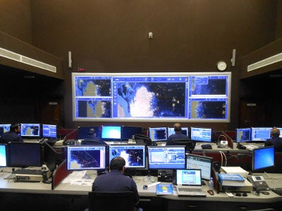
KIPOD AI cloud-based intelligent video analytics surveillance platform

This product is the software platform of the country’s public safety monitoring system. The platform allows you to search for people and vehicles in real time, recognize faces and license plate numbers, identify abandoned objects and crowds, traffic violations.
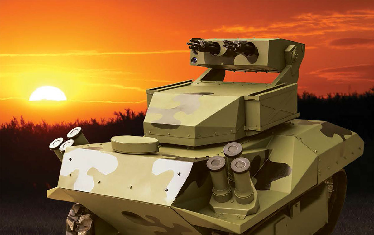
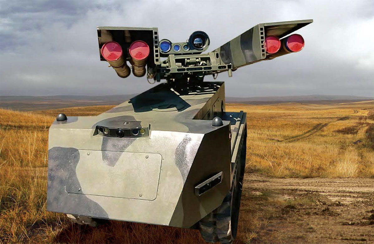
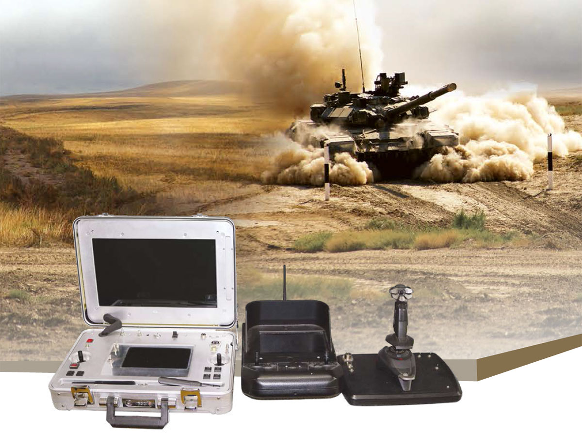
Bogomol SPATMS self-propelled remotely controlled tracked mini-chassis able to move on a cross-country terrain.. is designed for twenty-four-hour destruction of fortified ground targets, tanks, armored vehicles and hovered helicopters in automated mode. Remote control of the vehicle can be by radio channel, wires or laser beam.,Distance of remote control up to 5000 (m)

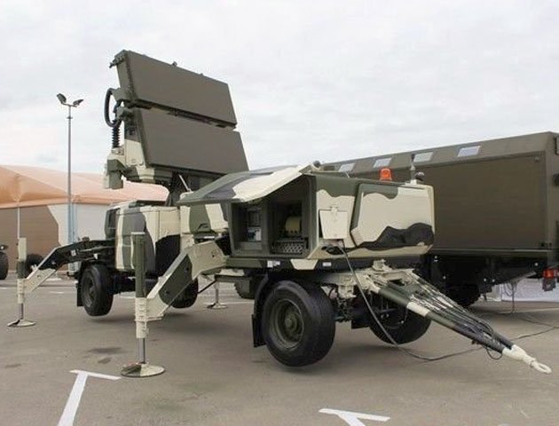
«Marker» multilateration aircraft positioning complex


"Cuirasse-U" signal intelligence complex


The SIGINT complex is designed for search, detection, determination of ground-based, airborne and marine radio emission system type, operation mode and commodity, positioning and tracking of detected objects by their on-board system emissions.
Among them some IT products like the integrated border security system and the KIPOD cloud-based intelligent video surveillance platform..

KIPOD AI cloud-based intelligent video analytics surveillance platform

This product is the software platform of the country’s public safety monitoring system. The platform allows you to search for people and vehicles in real time, recognize faces and license plate numbers, identify abandoned objects and crowds, traffic violations.
Bogomol SPATMS self-propelled remotely controlled tracked mini-chassis able to move on a cross-country terrain.. is designed for twenty-four-hour destruction of fortified ground targets, tanks, armored vehicles and hovered helicopters in automated mode. Remote control of the vehicle can be by radio channel, wires or laser beam.,Distance of remote control up to 5000 (m)

«Marker» multilateration aircraft positioning complex


- use of passive and secondary radar principles;
- possibility of detecting aircraft by transponder signals alone;
- transmission, from reception stations to the main station, of the times of reception of signals by each receiving station instead of the received signal slices;
- applications: air defense, air traffic control;
- high operational concealment;
- possibility of operation in urban conditions;
- variety of design modifications;
- small size and weight.

- detection and registration of UAV uplink data transmission signals;
- recognition of the type and identification of individual UAVs;
- automatic positioning of UAVs in 3D space through multilateration;
- tracking and display of UAV trajectories on an e-map and 3D model of the terrain;
- warning the operator on detection of a UAV;
- automatic functional check of the system hardware.
- possibility of integration with radar, optical, thermal imaging assets as well as counter-UAV electronic warfare assets.
"Cuirasse-U" signal intelligence complex


The SIGINT complex is designed for search, detection, determination of ground-based, airborne and marine radio emission system type, operation mode and commodity, positioning and tracking of detected objects by their on-board system emissions.
- usage of angular positioning technique with the pre-set multilateration technique capability provides for combined precision positioning system using wide range of wave forms and signal types;
- target detection range is up to 2 times greater than active radar means provide;
- high operational concealment due to absence of self-radiation significantly reduces detection possibilities by enemy SIGINT systems and greatly increases complex survivability;
- classification of the road emission systems according to the analysis results of the signals received in the following categories:
- • on-board radars (radar class, object type);
• ground radars (radar class, object type);
• TACAN-type close navigation SIGINT means;
• aircraft USW radio communication systems;
• "friend-of-foe" identification systems;
• jammers.
- • on-board radars (radar class, object type);
Last edited:

