.,.,
To be on top of the second-highest plateau in the world, popularly known as the Deosai Plains, in the July summer was to feel almost unwanted. This was a place where humans are scarce, where silence hums and the fragrance of flowers, of every colour, fills the winds.
A map of the Deosai National Park prepared by locals.
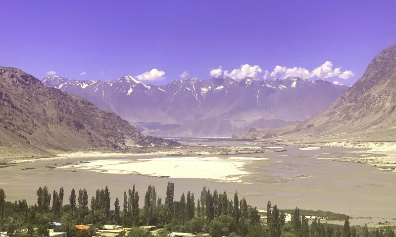
A journey along the Indus
One has to sit through a four-hour ride and traverse through a gnarled trail carved out of ancient rocks to reach the “roof of the world”, far beyond colonial boundaries and modern tensions, situated in the heart of the Western Himalayas at an elevation of 4,114 meters or 13,497 feet.
A friend in Karachi, a wanderlust man of good taste, had spoken to me of Skardu — where the Deosai Plains are located — one evening. He told me of the intimidating Karakoram mountains, of small tea shops and of forts dating back centuries.
I desperately wanted to go. I was mourning the lush green mountains of Naran I had visited a few years back. But little did I know that the wonder of travel lies less in the reminiscence of lost time and more in the discovery of the new.
A week after the meeting with my friend, I met Amjad Maqpoon at a three-star hotel in Islamabad. It was a relief to see the lanky man with his wide-teeth smile and Balti accent, materialise out of a speculative WhatsApp group titled “Skardu-Deosai”. He was introduced to me by a local tour company, the ones that pop up on Instagram feeds every summer. We agreed on a price and decided to leave for Gilgit-Baltistan at 4am the next day.
The journey to the land of the mountains commenced with a flat tyre and an air-conditioning system that was best left untouched. But soon, we were zooming past the Hazara Motorway, out of the comfort of the capital’s sleek roads, towards a discreet rugged terrain, the mystery of which kept me up throughout the bumpy drive. I caught flashes of pine trees in deep shades of green framed against the deep blue sky and clear water of the Kunhar river.
The lush green pine trees of Naran as the Kunhar river cascades its way down from the Lulusar Lake.
They say rivers have memories. After that dunk into the Mathoka Waterfall, I knew they were right.
www.dawn.com


 ( Gulmit, Gojal)
 ️ Tupopdan 6,106 metres (20,033 ft) also known as 'Passu Cones' or 'Passu Cathedral', lies to the north of the Gulmit village in Gojal Valley.