The PRSS-1 will join the PakSat-1R, a communications satellite that was launched in 2011.
As per Khurram, the PakSat-1R “is up and running with efficient provision of communication and broadcast services … in the country and neighbouring regions.”
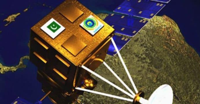
According to SUPARCO, the PRSS-1 will
comprise of an electro-optical (EO) system as well as a synthetic aperture radar (SAR). The SAR payload will enable the PRSS-1 to take high-resolution photos.
SUPARCO had
signed a development and launch agreement for the PRSS-1 with China Great Wall Industry Cooperation (CGWIC) in April 2016. Ahsan Iqbal, who was then the Planning, Development and Reform Minister, told news outlets that the contract would facilitate the transfer of space technology to Pakistan.
Iqbal had also alluded that the PRSS-1 would contribute to Pakistan’s national security interests, especially in terms of border security and surveillance. The PRSS-1 was scheduled for launch in June 2016, but it now appears that the launch-date was moved-up.
Work towards securing an earth observation satellite began in the late 1990s under the Earth Observation Satellite System (EOSS) program. SUPARCO had intended to deploy the EOSS – which was re-designated to the Remote Sensing Satellite System (RSSS) and then PRSS-1 – by 2015 or 2016.
The PRSS-1 was envisaged as a domestic program developed with technical support from credible foreign satellite manufacturers and solutions providers. There have been hints that the PRSS-1 could be available for intelligence, surveillance and reconnaissance (ISR) needs, specifically image intelligence (IMINT).
This avenue certainly has its proponents, most recently Pakistan’s former ambassador to the U.N Munir Akram, who
advocated that Pakistan build its ISR net through “satellites, surveillance aircraft and drones.” Though the PRSS-1 – or a follow-on to the PRSS – could provide IMINT, Pakistan has yet to signal intent for a military satellite communications (SATCOM) platform, which would enable it to operate unmanned aerial vehicles (UAV) at beyond-line-of-sight range. This would occur by deploying a satellite with X-band transponders.