Shazzad123
FULL MEMBER

- Joined
- May 27, 2021
- Messages
- 101
- Reaction score
- 0
- Country

- Location

@Indus Pakistan
There are a lot of maps in the past which are sources from multiple different types of historians and geographers which says that Sindh, Balochistan and Kashmir are distinct from mainland Indians
Even though there is some connection due to distance. There is still a seperation on every map between the two
Persian geographer Al Ishtkari
.jpg")
Ibn Huqwal

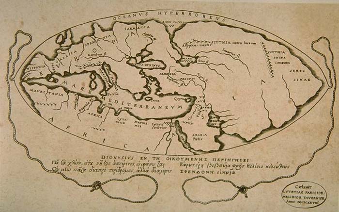
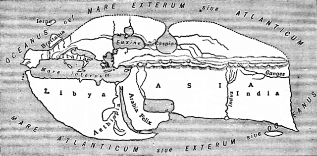
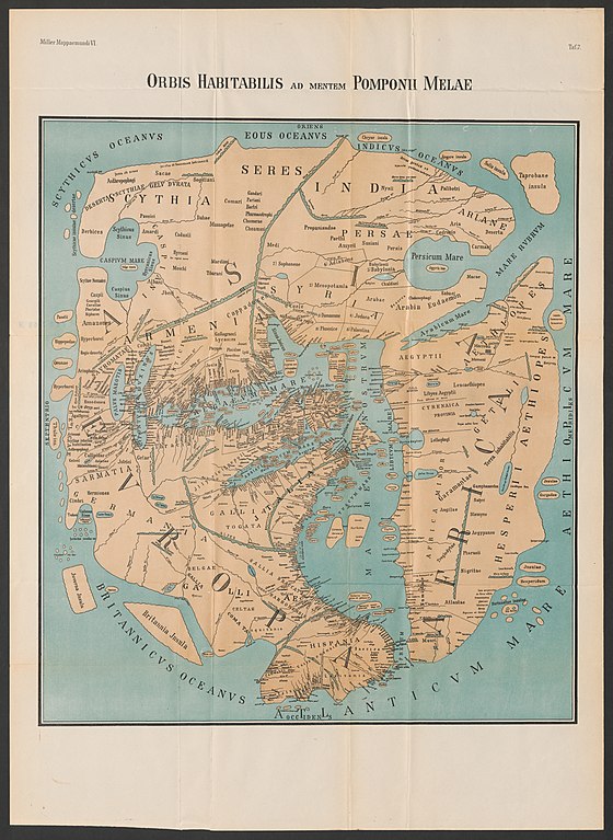
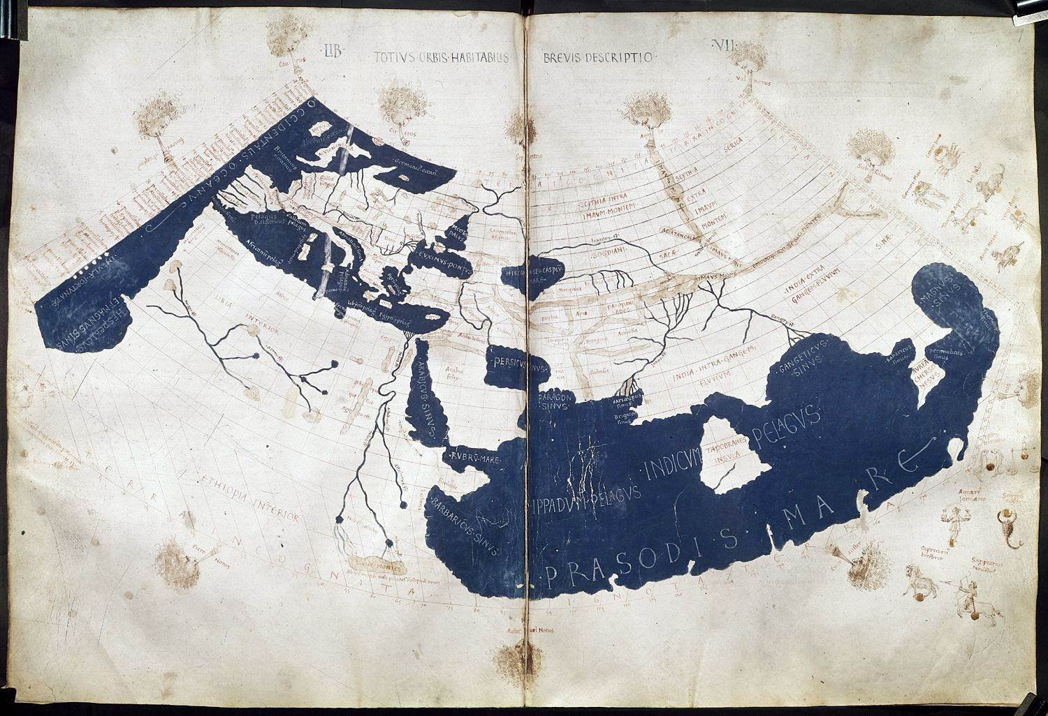
More ancient maps

Turkish map by Mahmud Kashghari
Fun fact - yajuj and majuj is where today's Germanic European parts are on his map
.png")
Portugese map of the region

Here


There are a lot of maps in the past which are sources from multiple different types of historians and geographers which says that Sindh, Balochistan and Kashmir are distinct from mainland Indians
Even though there is some connection due to distance. There is still a seperation on every map between the two
Persian geographer Al Ishtkari
Ibn Huqwal
More ancient maps
Turkish map by Mahmud Kashghari
Fun fact - yajuj and majuj is where today's Germanic European parts are on his map
Portugese map of the region
Here