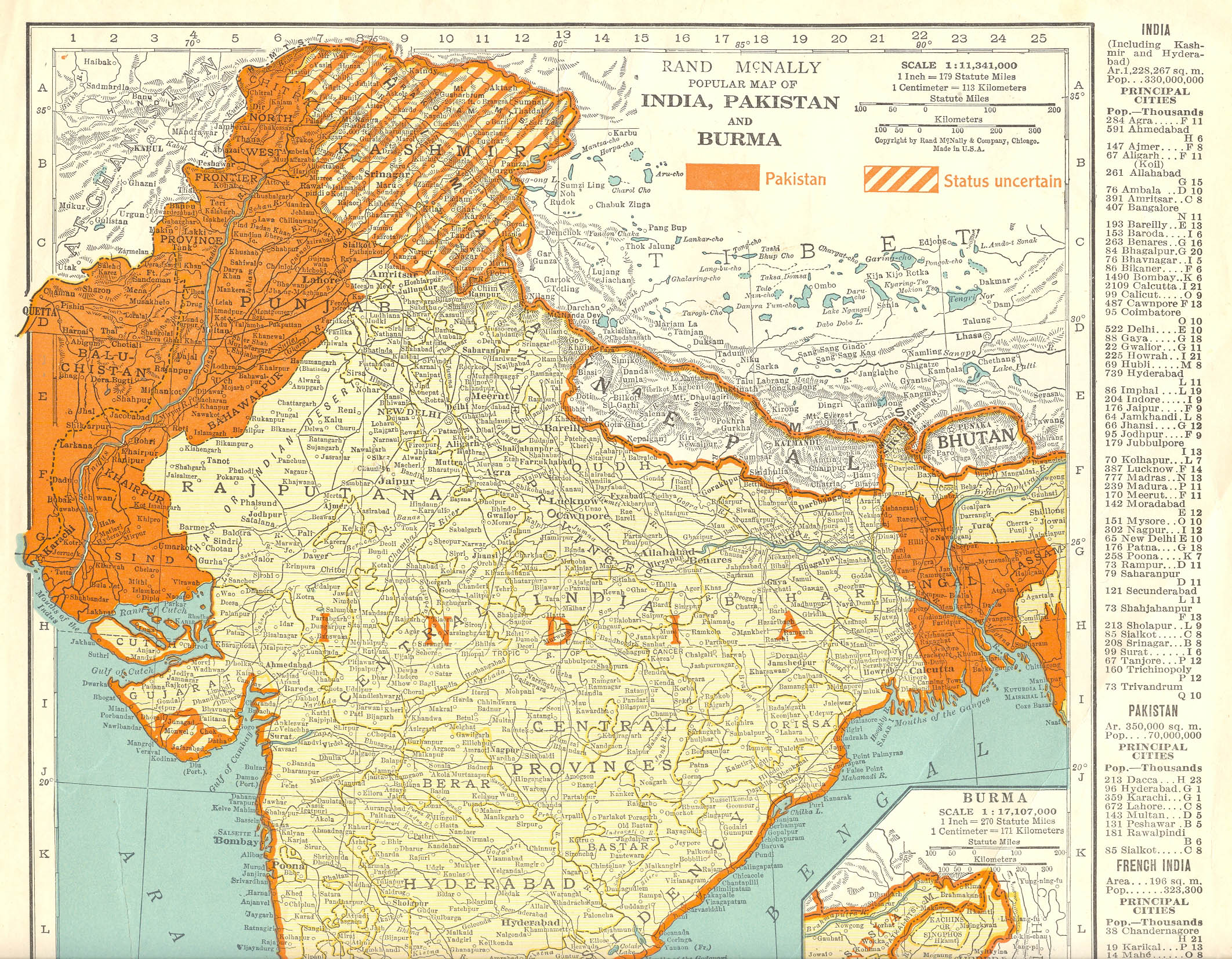
Follow this link, it is the princely state's map in 1931, four years after the date in your assertion.
-- Imperial Gazetteer of India, v. 26, Atlas 1931 edition -- Digital South Asia Library
To my eye, the map looks almost the same in terms of borders as the one posted earlier of 1909. Could you be more specific on what the trans-himalayan watershed is exactly? Aksai chin or shaksgam valley/trans-karakorum tract (which were never under control of the raj, dogras or successor governments on the ground)?