ghazi52
PDF THINK TANK: ANALYST

- Joined
- Mar 21, 2007
- Messages
- 104,269
- Reaction score
- 106
- Country

- Location

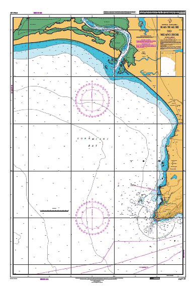
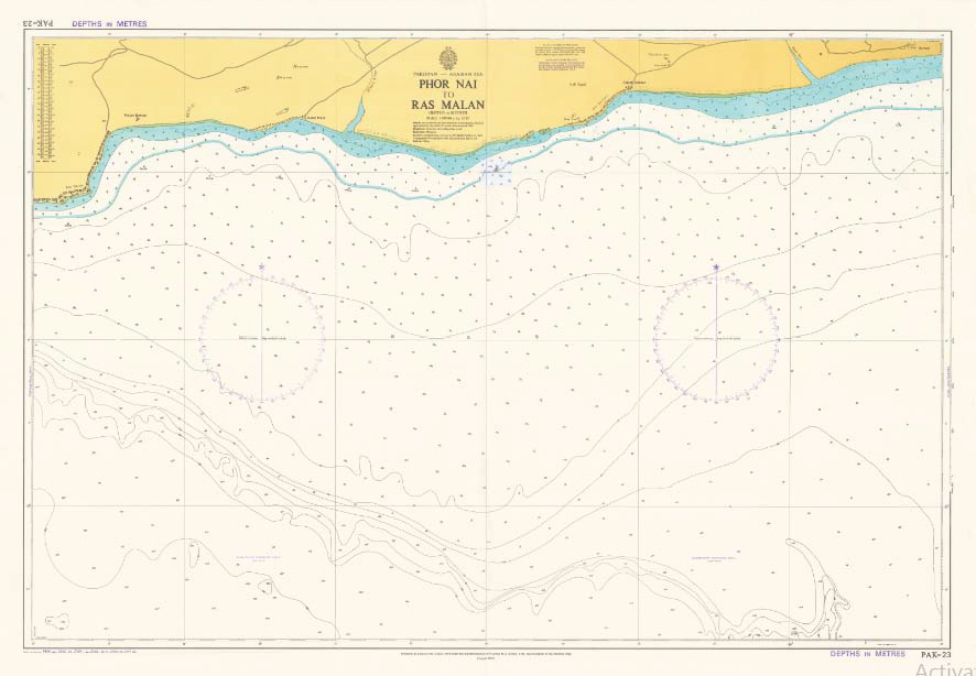
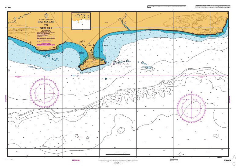
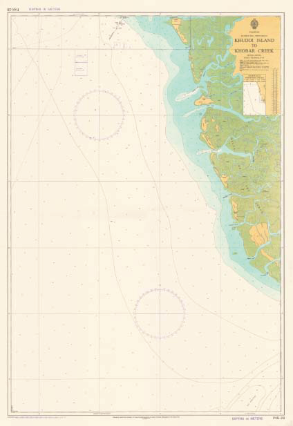
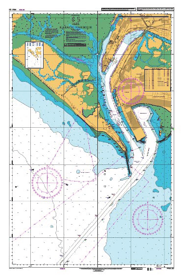
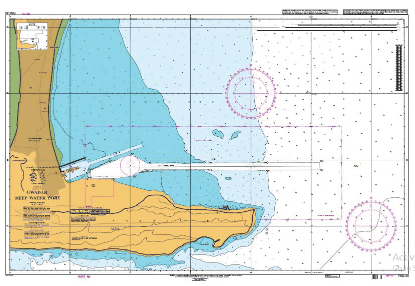
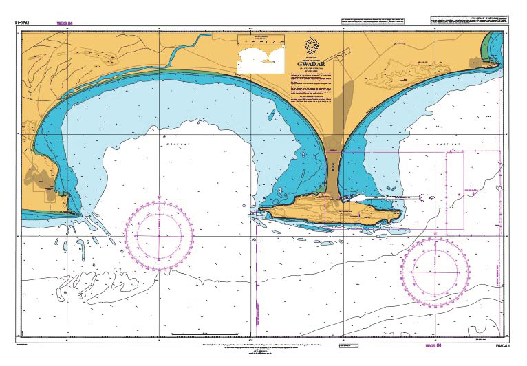
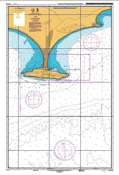
Pakistan Navy Hydrographic Department
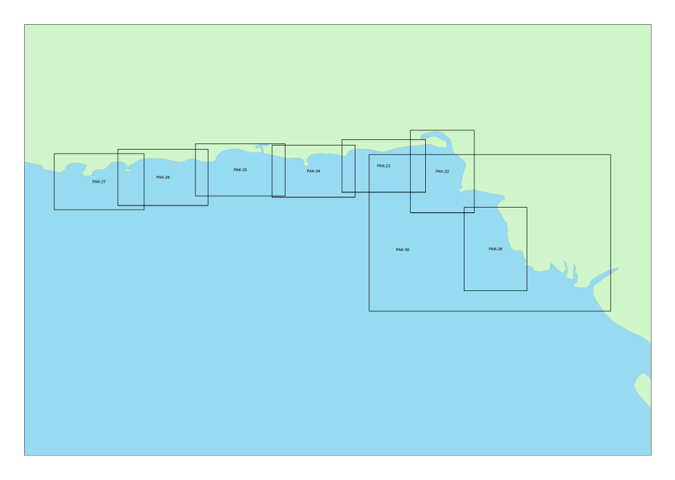
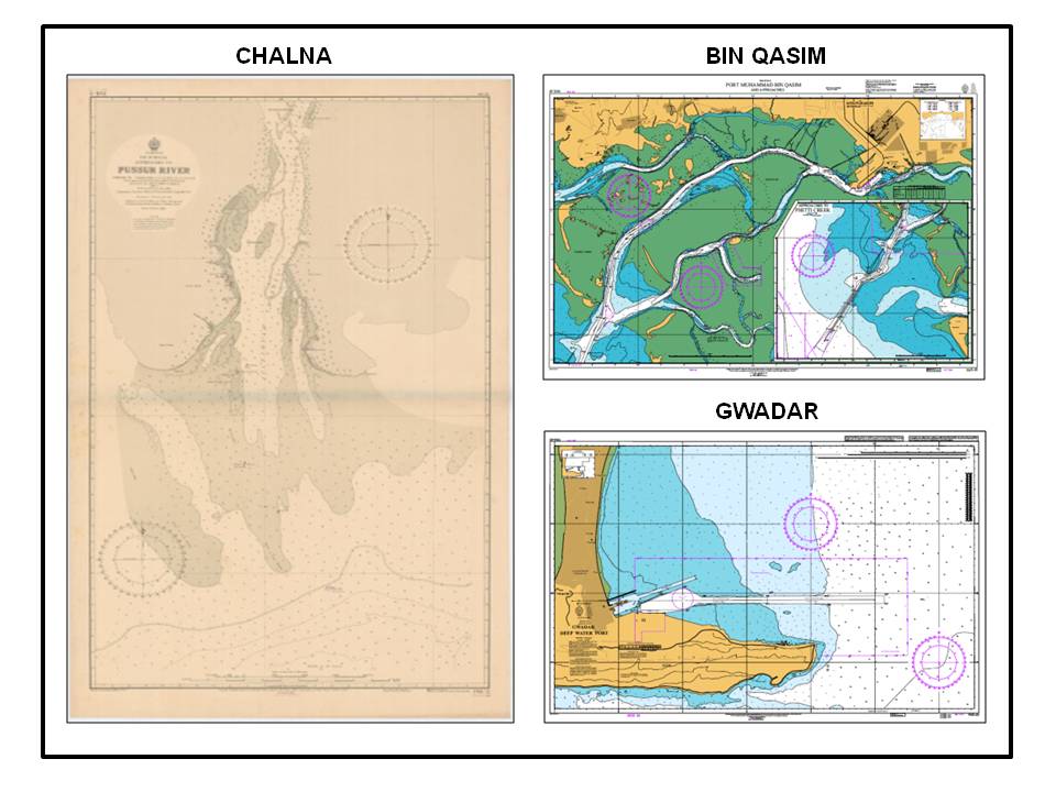
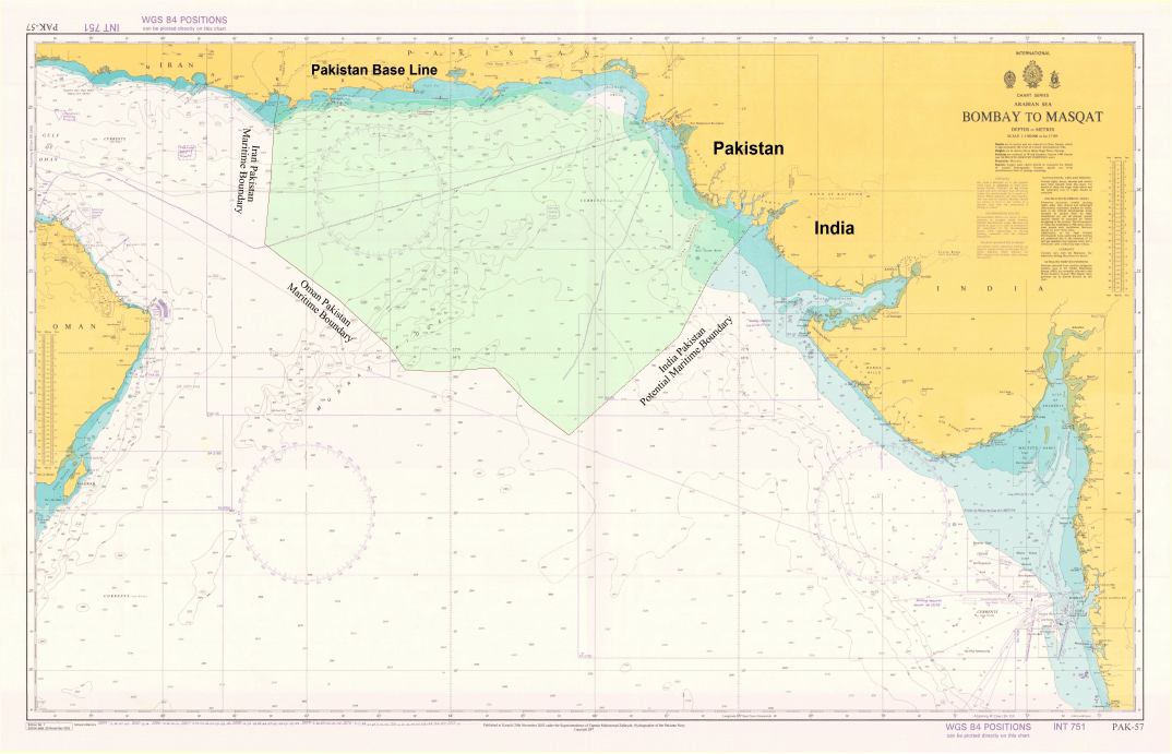
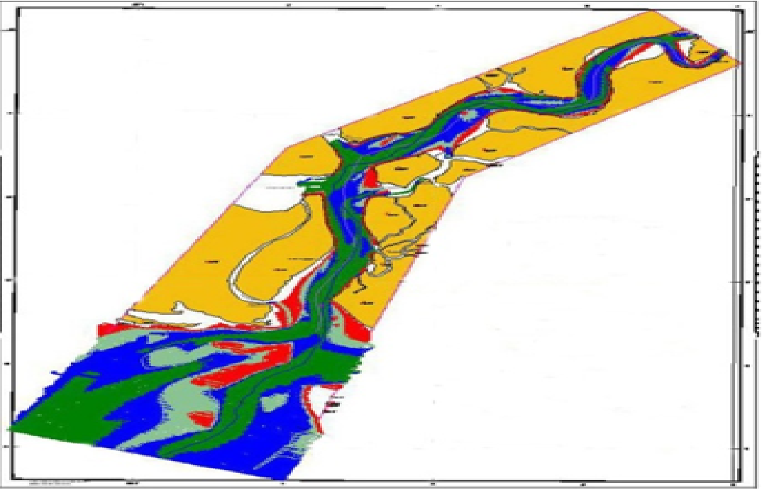
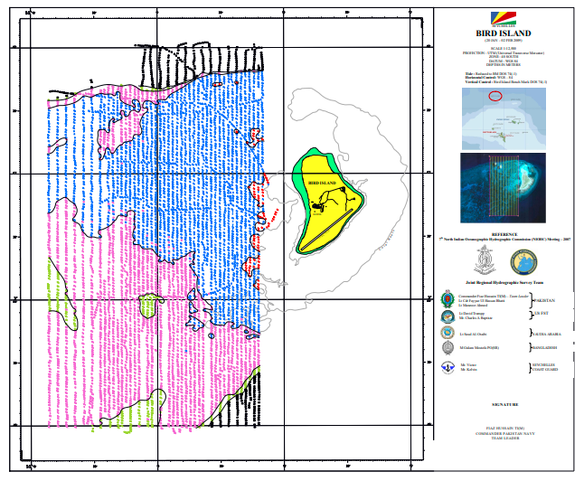
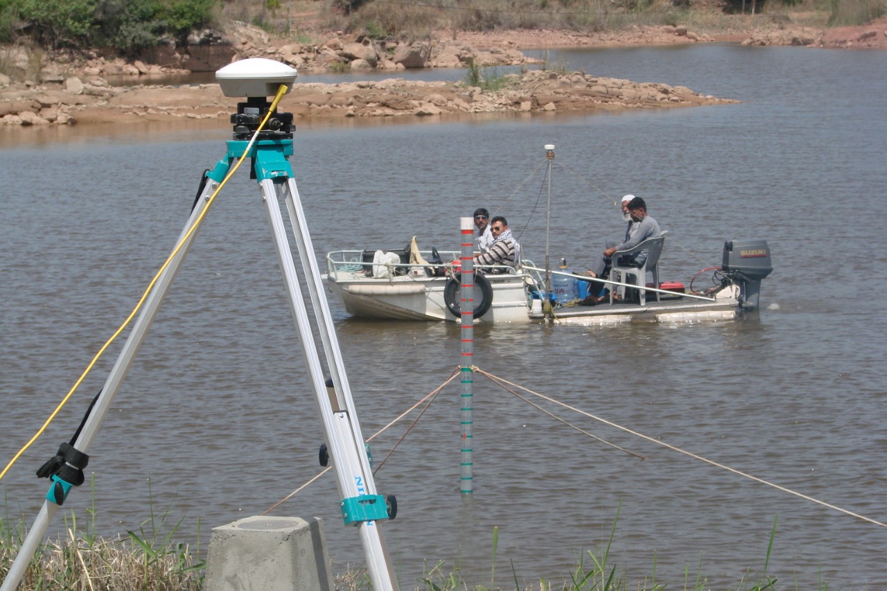
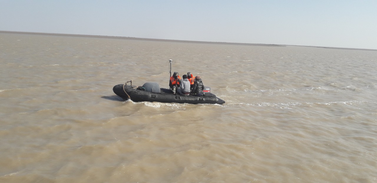
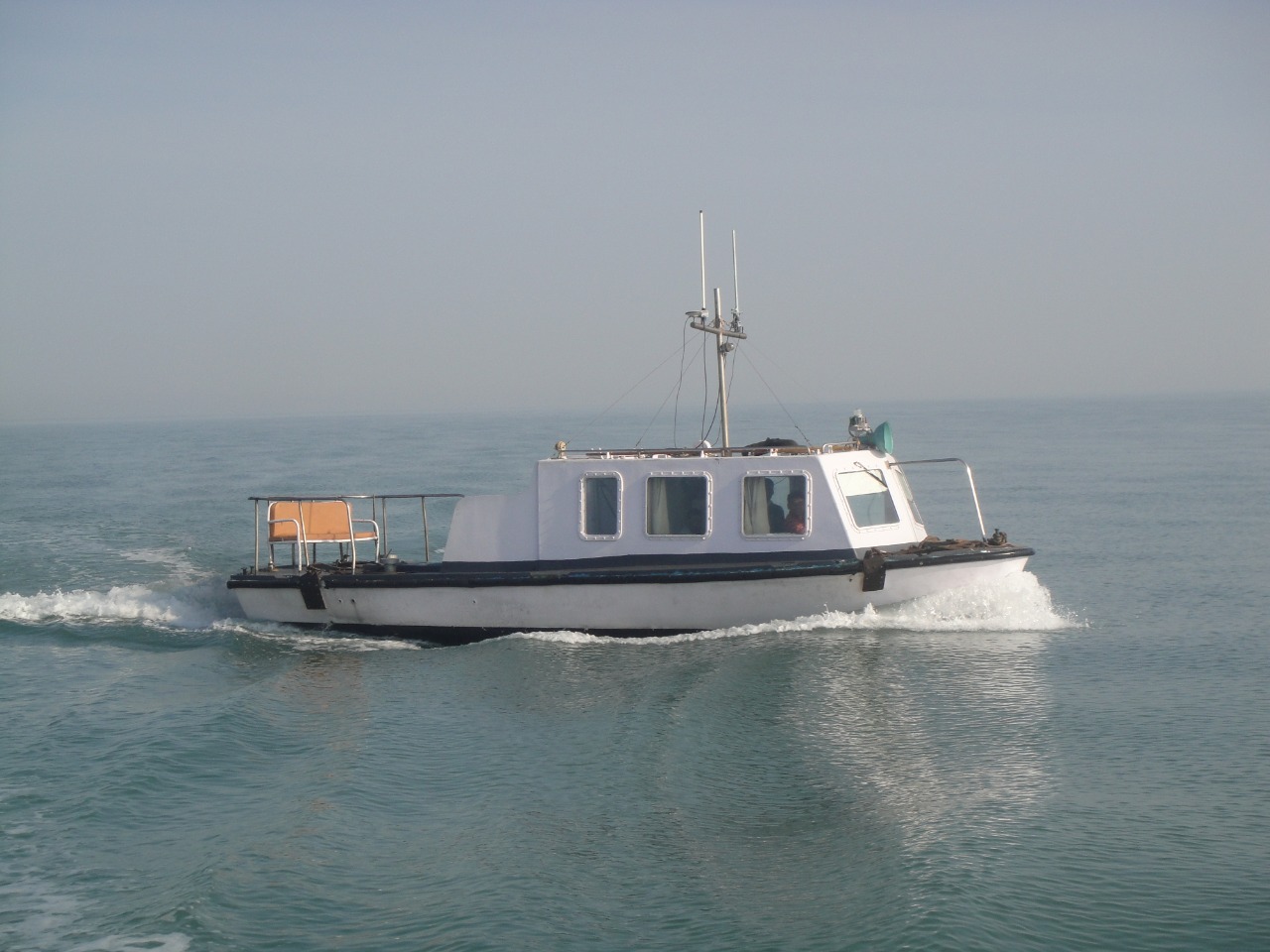
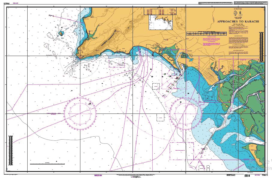
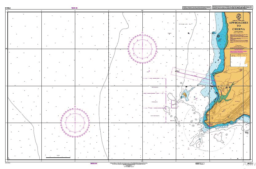
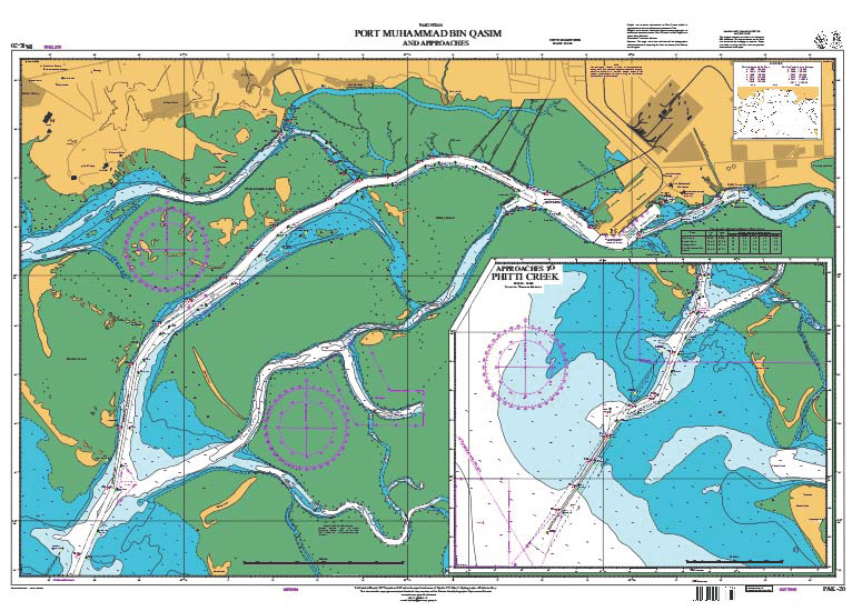
Pakistan is blessed with over 1000 Kms of coastline and around 290,000 Sq Kms of various maritime zones. Hydrographic surveys of these areas are very important for both Pakistan and international maritime trade. In pursuance of SOLAS convention and to realize various aspects of UNCLOS, Pakistan Navy Hydrographic Department is fulfilling national commitment of conducting quality hydrographic surveys of its waters, producing nautical charts and keeping nautical information up to date through Notices to Mariners to support safe navigation through busy shipping lanes of our waters.
In addition, this office also houses the HQ NAVAREA IX wherein it coordinates and promulgates transmission of navigational warning for Red Sea, Gulf and part of North Arabian Sea under the aegis of IHO/IMO World Wide Navigation Warning Service.
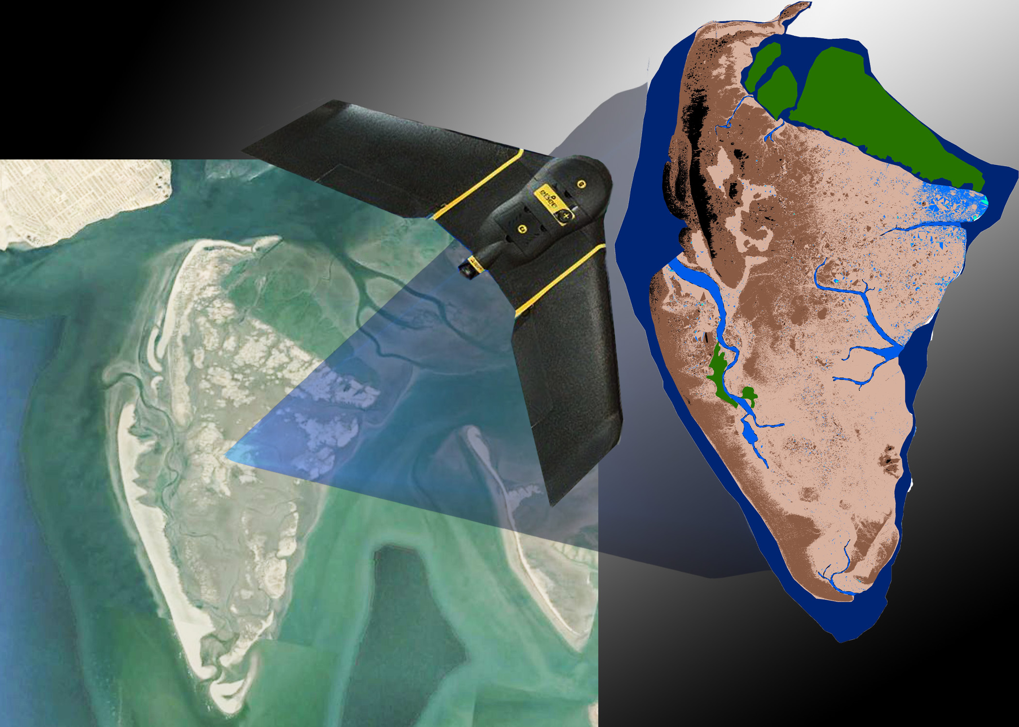
Technology and knowledge of hydrography has significantly advanced in recent past like other sciences. This has not only enhanced the data collection speed, accuracy and resolution but made it possible to meaningfully connect various marine related activities to produce cost effective and efficient solutions. Today, hydrography data forms the baseline data of all marine activities related to economic, scientific, diplomatic and strategic domains.
Therefore, considering the core and allied applications of hydrography, the department is being continuously upgraded in terms of infrastructure, modern equipment, capability and technical knowledge to remain abreast with future developments and to support the requirements of various customers in better way. Unlocking of gathered data/information through effective Marine Spatial Planning and Marine Spatial Data Interface is also expected to contribute considerably towards national blue economy in years to come.
MESSAGE OF HPN – Pakistan Navy Hydrographic Department
BeTheme is the most advanced WordPress theme we ever did. Immerse yourself into Be|theme and explore awesome features.
 hydrography.paknavy.gov.pk
MISSION
To produce high quality modern nautical products and relevant data sets to support safe navigationthrough Pakistani waters and other marine applications
VISION
A modern hydrographic office capable of meeting national and international hydrographic and associated marinerequirements and emerge as the leading hydrographic office in the region with global recognition
Last edited: