What's new

Pictures of beautiful Balouchistan

Taken at Quetta Airport.

5956506318_cdbb5c55fa_b.jpg


dormant volcano

2101311210_ef0bb935eb_b.jpg


1703704404_0a77857e37_b.jpg


2389540622_1f86037284_z.jpg


mirani dam turbat

6475883609_a0531ab1cb_b.jpg


5961695730_e3786a49af_o.jpg


4303553559_78be1534ab_b.jpg


4745747730_a2f528fc61_o.jpg
 
2211839350_b359b5fa63_z.jpg


2099649105_ffeb84738b_b.jpg


2324557762_7d9d5a18d0_z.jpg


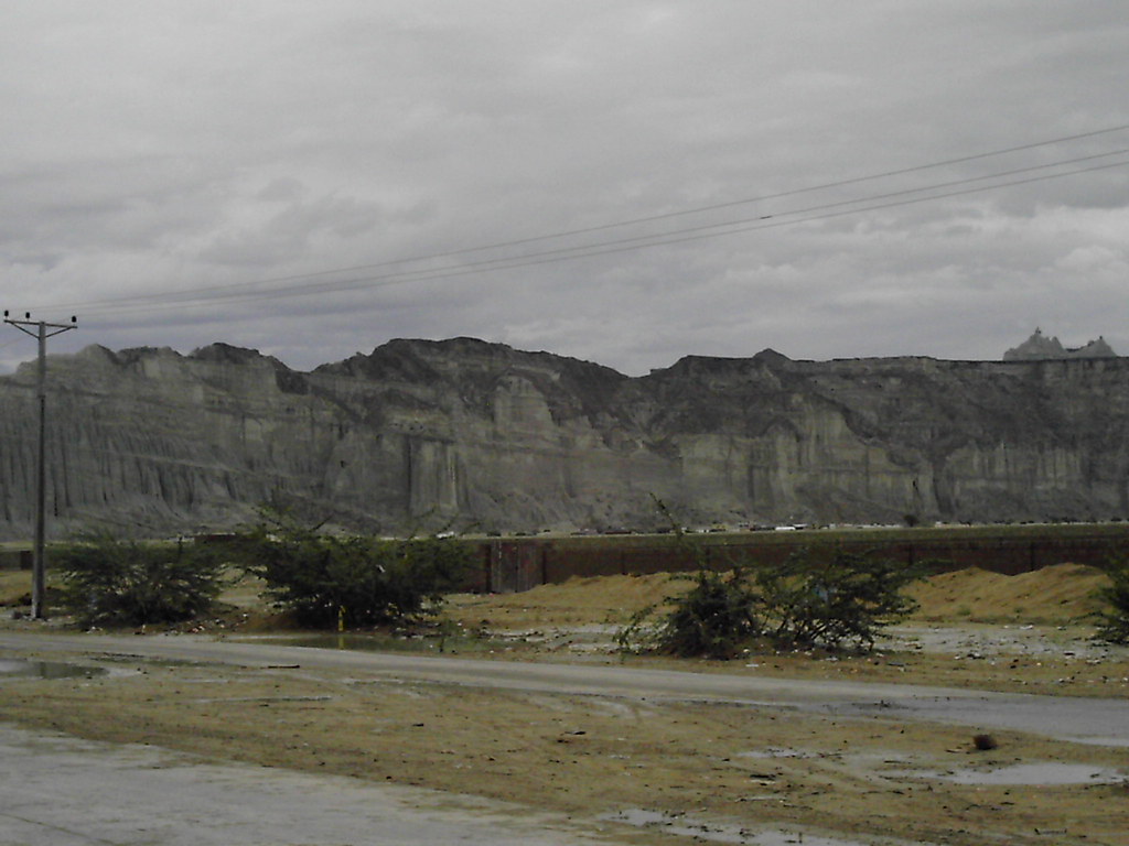
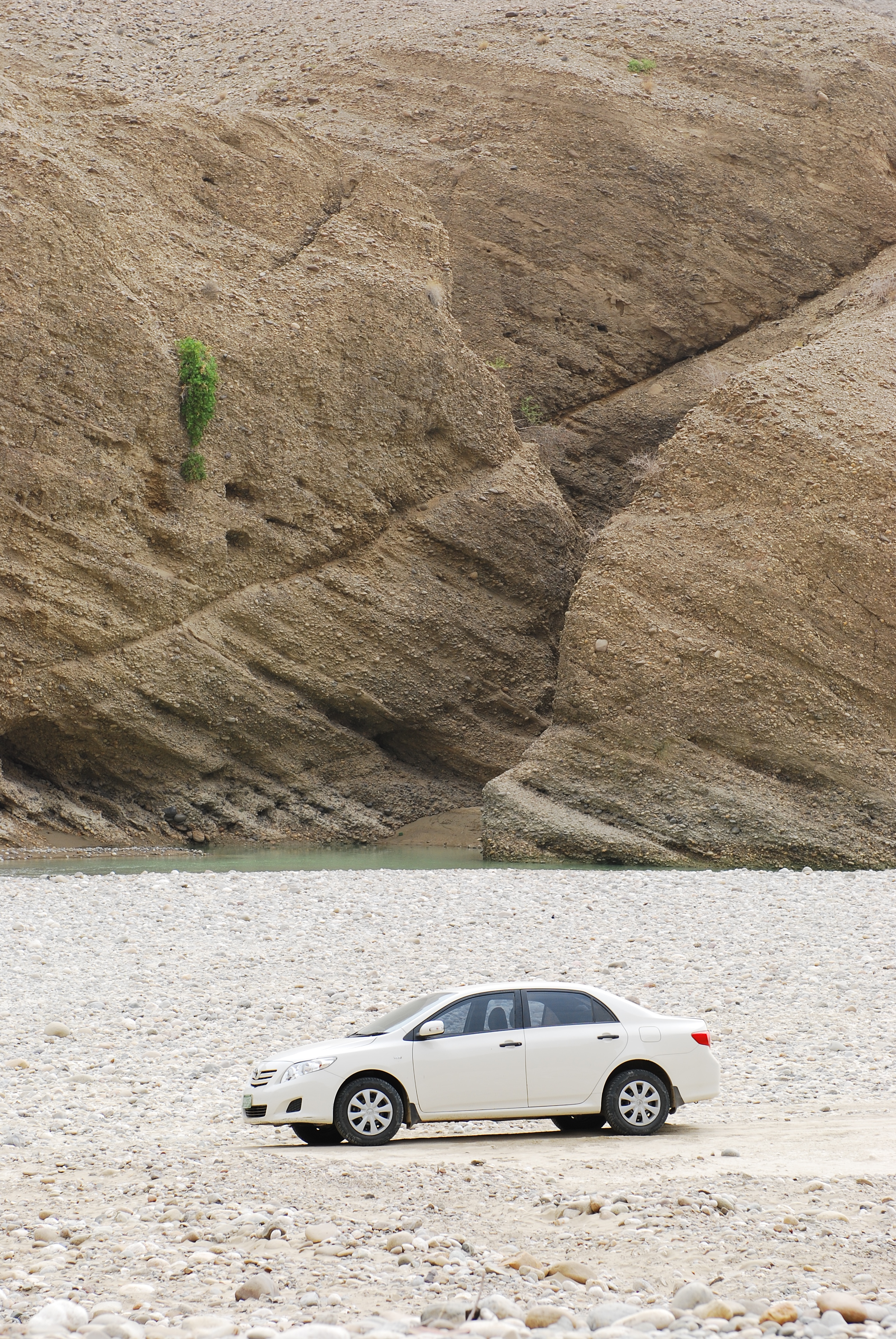
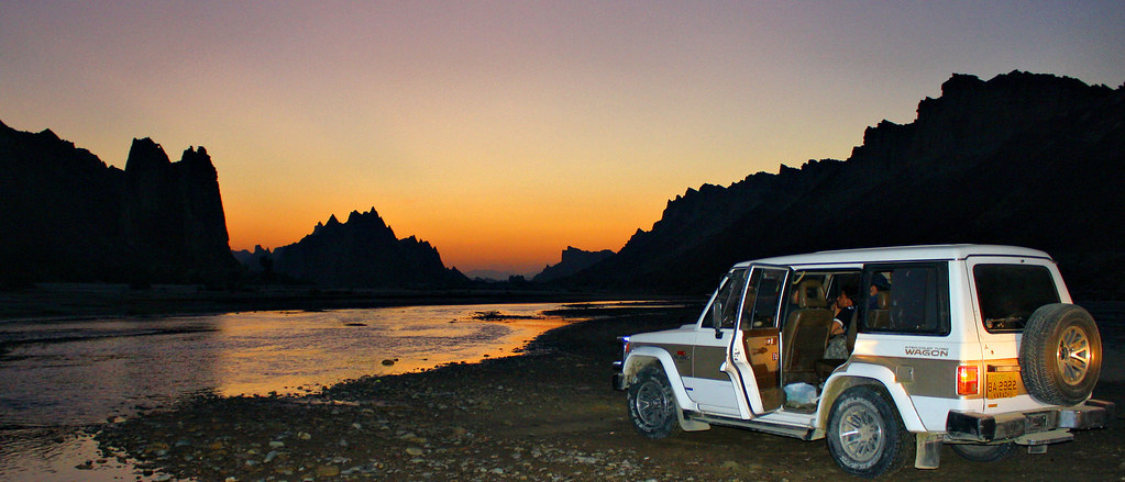
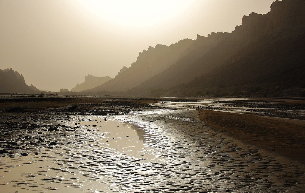
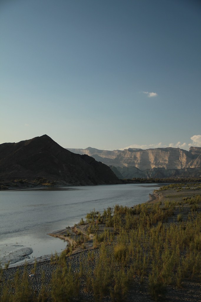
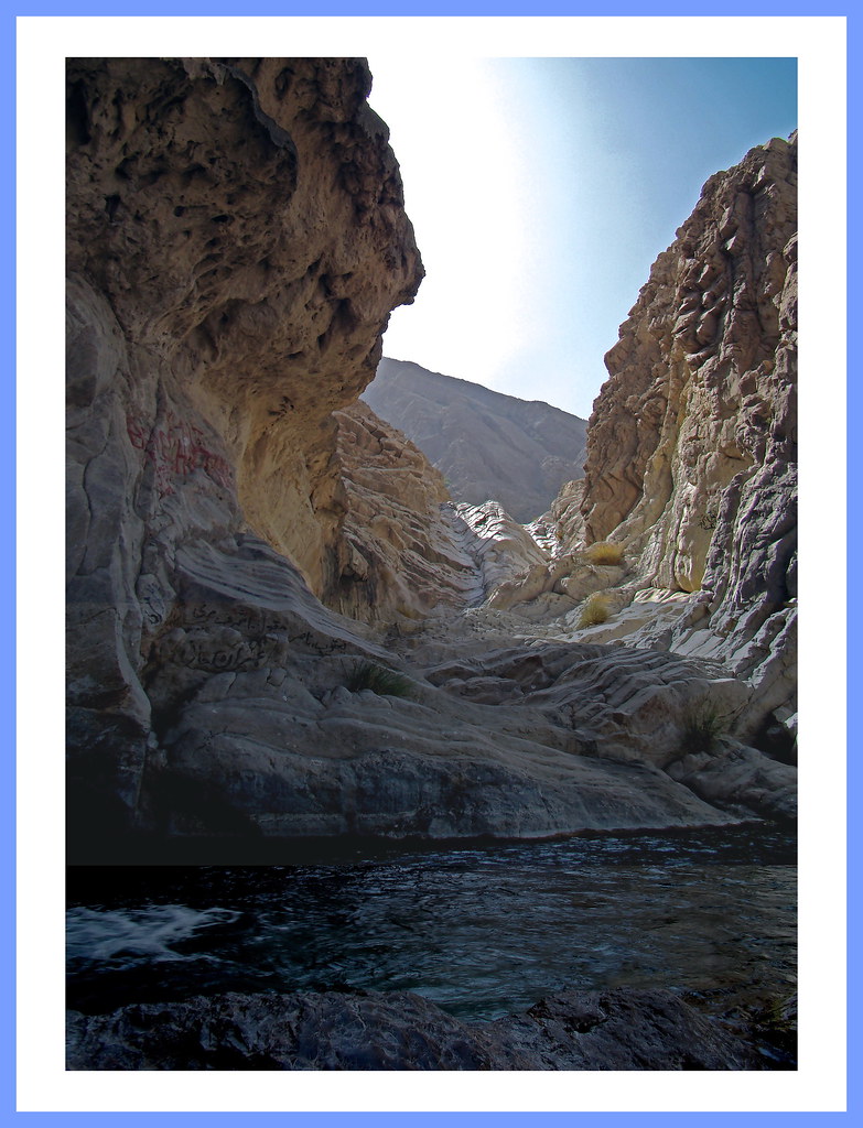
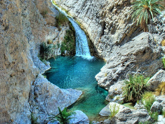
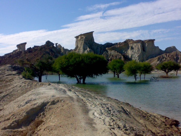
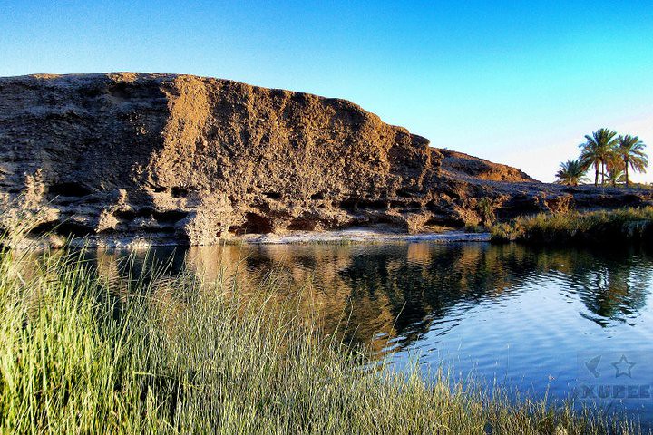
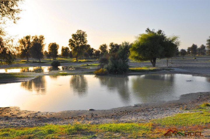
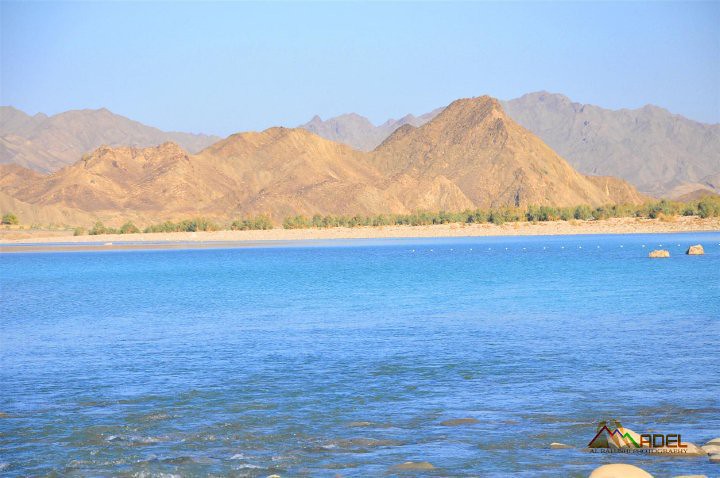
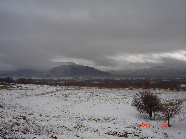
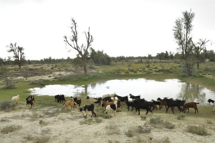
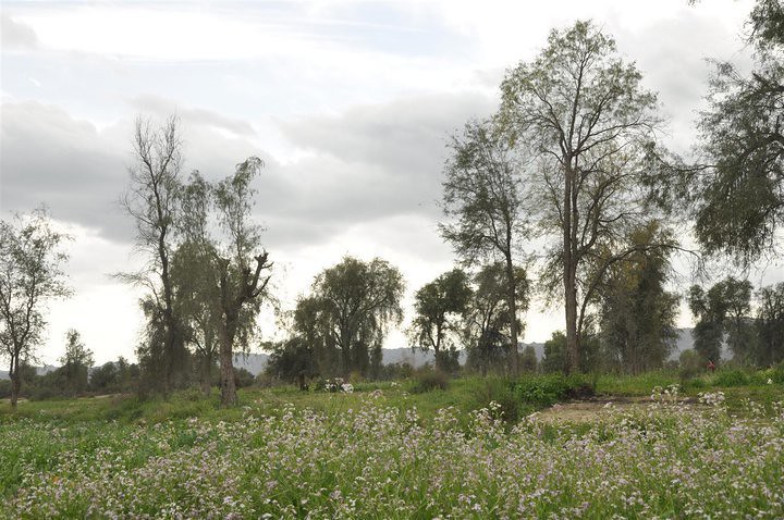
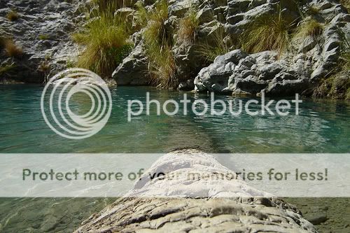
This place is near an fresh water stream tht provides water to zhob and orchards etc.....its called "Kapip".... grapes of this area are the best in the country............. i took this pic 1.5 years ago.......
34erj8z.jpg


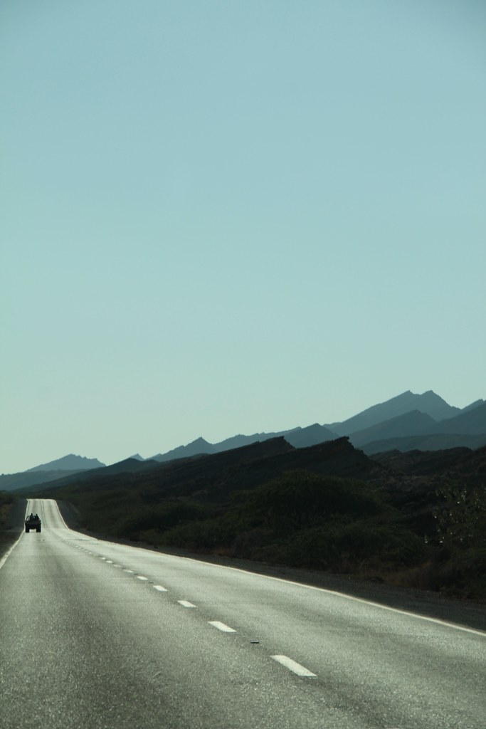
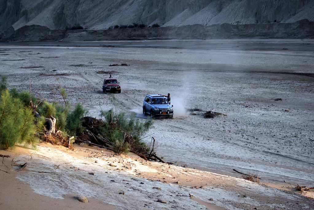
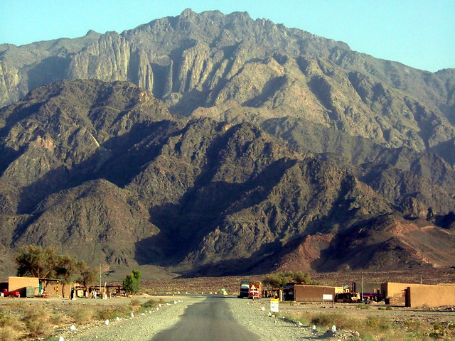
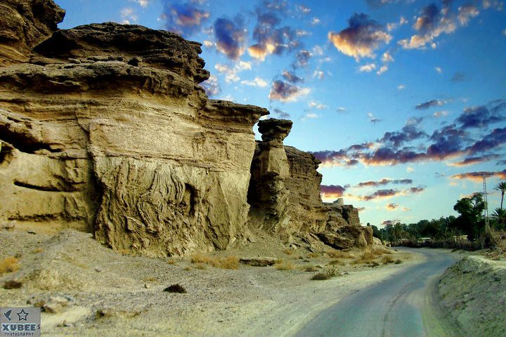
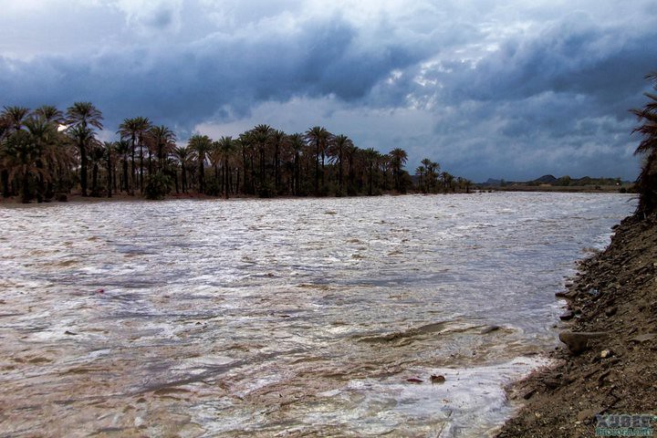
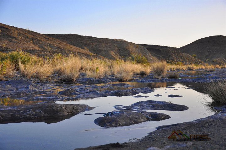
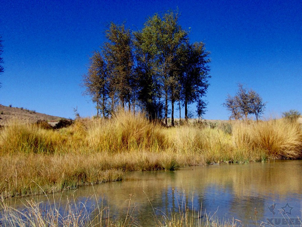
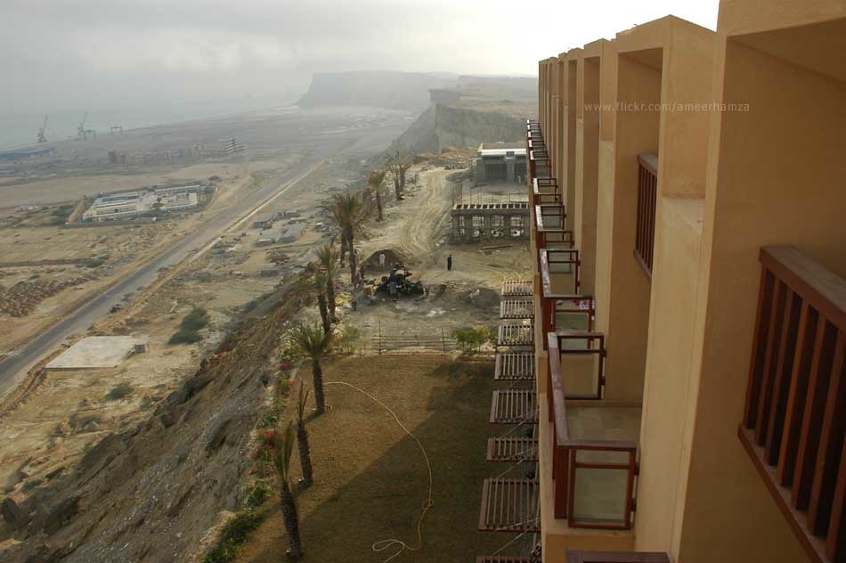
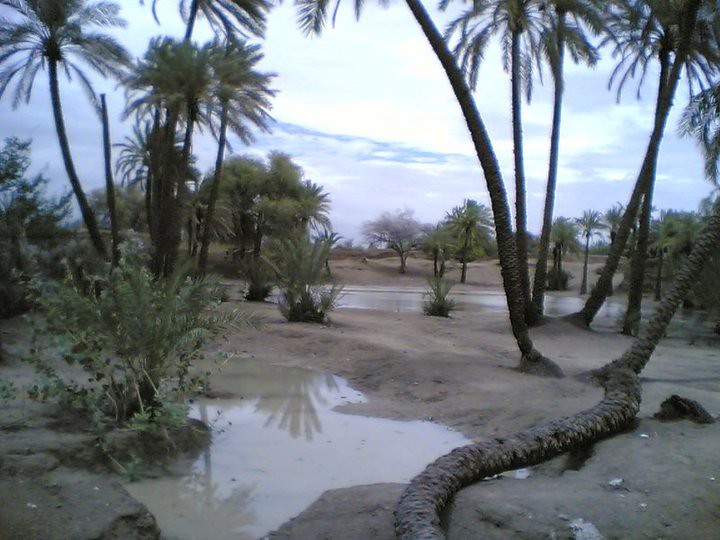
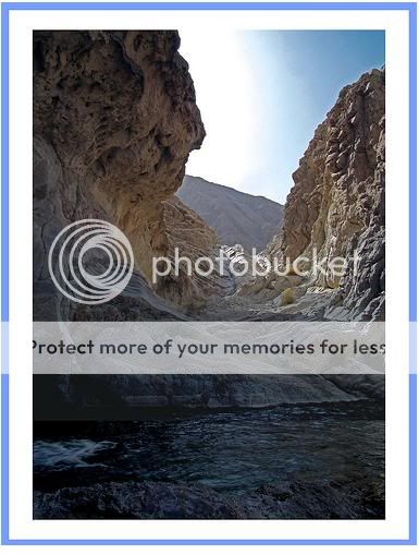
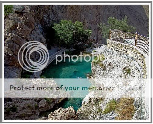
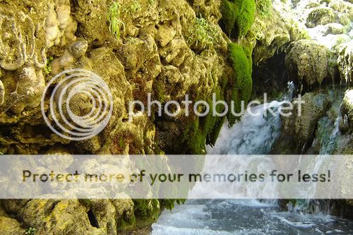
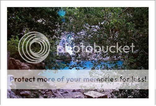
Not exactly the same place but just a few meters from where this pic was taken.

in post 63 i have posted an image


the 'kapip olive forest' do olives grow there too?? i didntknow in pakistan olives grew?
 
Winter time in the Hazarganji-Chiltan National Park

5732499645_0d87b919b6_o.jpg


6482186889_11872d7a23_b.jpg


Khost, BL

3051819323_632e314333_b.jpg


Chaman Passenger train emerging from Kojak Tunnel.


2512106180_4140a68395_b.jpg


Pir Ghaib.

Pir Ghaib (Invisible saint) is a beautiful place surrounded from all sides by daunting rugged mountains and is almost 10 K.Ms Eastwards from the National Highway between Sibi and Mach cities of Baluchistan, Pakistan. No one knows about the exact historical validity of a Saint's Grave. The locals attribute many mythological stories.


1799287205_7185ca162e_b.jpg


Rass Koh mountains, Chagi

Explore Highest position: 213 on Friday, June 27, 2008

This is how one sees Pakistan's famous mountain from The RCD Road that leads from Quetta to Taftan border also known here as London Road. These mountains are known for the Pakistan's historical nuclear explosion tests.

500851632_937c13976f_z.jpg


hingol

2354448450_0e70955863_b.jpg


Spin Boldak To Kandahar


3600384543_30821509a8_b.jpg
 

Back
Top Bottom