If your naming of this mountain is correct some by specific means of measuring it's height declare it is the highest/tallest mountain in the world. Very interesting. It is daily visible from both Peshawar and from the ex-USAF now PAF War College Base at Badabur, just outside Peshawar. Thanks for everyone's input and comments.
To learn more, click here.
 Rakaposhi
From Wikipedia, the free encyclopedia
Rakaposhi
راکاپوشی

Rakaposhi Peak from
TaghafariBase Camp
Elevation7,788 m (25,551 ft)
[1]
Ranked 27th
Prominence2,818 m (9,245 ft)
[2]
Ranked 122nd
ListingUltra
Location

Rakaposhi
Location in Pakistan
Location
Nagar Valley,
Gilgit–Baltistan,
Pakistan
RangeRakaposhi-Haramosh Mountains,
Karakoram
Coordinates36°08′33″N74°29′21″ECoordinates:
36°08′33″N74°29′21″E[2]
Climbing
First ascent1958 by
Mike Banksand
Tom Patey
Easiest
routeSouthwest Spur - glacier/snow/ice
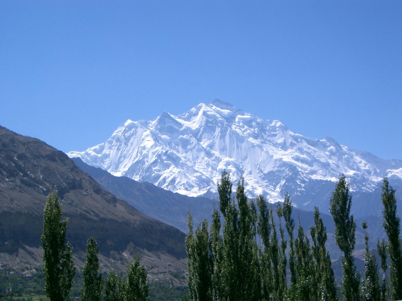
Rakaposhi(
Räkapoşi) (
Urdu: راکاپوشی), is a
mountainin the
Karakorammountain rangein
Pakistan.
[1]It is situated in the
Nagar Valleyapproximately 100 km north of the city of
Gilgitin the
Gilgit Districtof the
Gilgit–Baltistanprovince of Pakistan. Rakaposhi means "Snow Covered" in the local language. Rakaposhi is also known as Dumani ("Mother of Mist"). It is ranked
27th highestin the world and
12th highestin Pakistan, but it is more popular for its beauty than its rank might suggest. In a colloquial sense, i.e. measured from base to summit, Rakaposhi with its uninterrupted ~6000 m vertical rise,
[3]is
the tallest mountain on Earth.
Rakaposhi was first climbed in 1958 by
Mike Banksand
Tom Patey, members of a
British-
Pakistaniexpedition, via the Southwest Spur/Ridge route.
[4]Both of them suffered minor
frostbiteduring the ascent. Another climber slipped and fell on the descent and died during the night.
Park[edit]
The people of
Nagarhave dedicated the Rakaposhi range mountain area as a community park. The Minister for Northern Areas inaugurated the park. The Rakaposhi mountain range is the home of
endangered speciessuch as
Marco Polo sheep,
Snow Leopard,
brown bear,
wolvesand many other species.[
citation needed]
Notable features[edit]
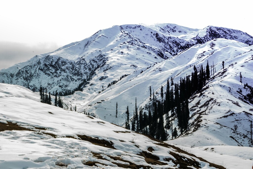
Rakaposhi is notable for its exceptional rise over local terrain. On the north, it rises 5,800 metres (19,029 ft) in only an 11.5 km (7.1 mi) horizontal distance from the
Hunza River. There are magnificent views of Rakaposhi from the
Karakoram Highwayon the route through Hunza. A tourist spot in the town of Ghulmat (located in the
Nagar Valley) called "Zero Point of Rakaposhi" is the closest convenient view point of the mountain.
Time line[edit]
- 1892Martin Conwayexplores the south side of Rakaposhi.
- 1938 M. Vyvyan and R. Campbell Secord make the first reconnaissance and climb a north-western forepeak (about 5,800m/19,000') via the northwest ridge.
- 1947 Secord returns withH. W. Tilmanand two Swiss climbers, Hans Gyr and Robert Kappeler; they ascend via the Gunti glacier to 5,800m/19,000' on the south-west spur.
- 1954Cambridge Universityteam, led by Alfred Tissières, attempts the peak via the south-west spur but only reached 6,340m/20,800'. Also, an Austro-German expedition led by Mathias Rebitsch attempted the same route.
- 1956 A British-American expedition, led by Mike Banks, reaches 7,163m/23,500' on the Southwest Ridge, above the Gunti glacier.
- 1958 The first ascent, noted above.
- 1964 An Irish expedition attempts the long and difficult Northwest Ridge.
- 1971 Karl Herrligkofer leads an attempt on the elegant but difficult North Spur (or North Ridge).
- 1973 Herrligkofer returns to the North Spur but is again unsuccessful due to time and weather problems.
- 1979 A Polish-Pakistani expedition ascends the Northwest Ridge from the Biro Glacier.
- 1979 A Japanese expedition fromWaseda University, led by Eiho Ohtani, succeeds in climbing the North Spur. Summit party: Ohtani and Matsushi Yamashita. This ascent was expedition-style, done over a period of six weeks, with 5000m of fixed rope.
- 1984 A Canadian team achieves a semi-alpine-style ascent of the North Spur, using much less fixed rope than the Japanese team had. Summit party:Barry Blanchard, David Cheesmond, Kevin Doyle.
- 1985-1987 Various unsuccessful attempts on the long East Ridge.
- 1986 A Dutch team climbs a variation of the Northwest Ridge route.
- 1995 An ascent via the Northwest Ridge.
- 1997 An ascent via the Southwest Spur/Ridge (possibly the original route).
- 2000 An attempt from the East side (Bagrot Glacier).
Climbing routes[edit]
The routes with successful summits so far have been (see the timeline as well):
- Southwest Spur/Ridge (first ascent route). Long, but not exceedingly technical. Some trickygendarmes(rock pinnacles). Has been repeated.
- Northwest Ridge. Long, and more technically difficult than the SW Spur/Ridge. Has been repeated.
- North Spur (a.k.a. North Ridge). Shorter than the above two routes, but much more technically difficult. Has been repeated, including a semi-alpine-style (capsule style) ascent.
Attempts have also been made from the east side (Bagrot Glacier), the East Ridge, and the North Face.
Gallery[edit]
-

Morning light on Rakaposhi Volker Thewalt
Close up of Rakaposhi. Volker Thewalt
Rakaposhi from the south of Aliabad. Volker Thewalt-

Rakaposhi Peak From KKH
References[edit]
- ^Jump up to:ab"Rakaposhi". Peakbagger.com. Retrieved 25 September 2011.
- ^Jump up to:ab"Karakoram ultras". peaklist.org. Retrieved 25 September 2011.
- Jump up^[1]according to Rakaposhi's page on summitpost.org
- Jump up^"Climbing details". summitpost.org. Retrieved 25 September 2011.
Sources[edit]
Categories:
This page was last modified on 26 April 2014 at 19:33.


")


