Will a new road between China and Pakistan lead to a military boost against India?
- The Pakistan-administered Gilgit-Baltistan region has proposed a new transit and trade route linking Xinjiang to Kashmir and extending to Afghanistan
- Analysts say this will increase Beijing and Islamabad’s military interoperability against Indian forces in the region, ringing alarm bells in New Delhi
Tom Hussain
31 Jan, 2021
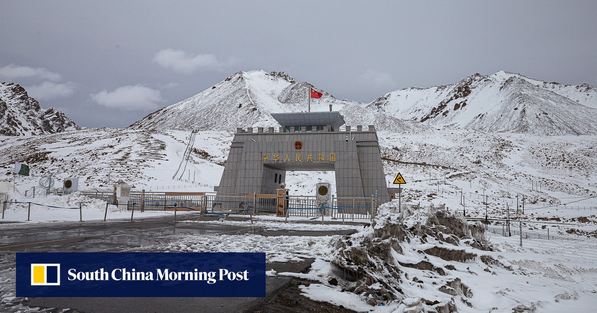
The Khunjerab Pass, along the Karakoram Highway, is the only current crossing between China and Pakistan.
Pakistan is looking to develop new overland border crossings with China that would potentially boost the allies’ military interoperability against Indian forces in Ladakh and the rest of Kashmir.
Proposals floated this month by the government of the Pakistan-administered Gilgit-Baltistan (GB) region primarily aim to pave the way for a new transit and trade route between China and Pakistan’s neighbours
Afghanistan and Iran
.
Currently, China and Pakistan are connected only by the Karakoram Highway, completed in 1978, via a single crossing in the Khunjerab Pass.
However, the route of a proposed new border road from Yarkand – on GB’s border with the Xinjiang Uygur autonomous region – also suggests strong strategic motivations because it would open a new supply line from China to Pakistani forces deployed along the Line o Control (LOC).
The 740km LOC divides Kashmir roughly into two halves governed by India and Pakistan. Its northernmost point, the India-held Siachen Glacier, is located next to the western extreme of the disputed 3,488km China-India border known as the Line of Actual Control (LAC).
The GB government’s public works department was instructed on January 15 to prepare a “project concept clearance proposal” for a 10-metre-wide road capable of being used by trucks, from the Mustagh Pass on the border with the Xinjiang Uygur autonomous region via the eastern GB region of Skardu, where the Siachen Glacier is located.
The proposed new road would be linked to Yarkand in Xinjiang, and enter GB 126km west of Ladakh, crossing the major supply artery from the Karakoram Highway near Skardu city. From there, it would run south through the high-altitude Deosai Plateau to the Astore Valley, where the southern flank of GB meets the LOC amid the Himalayas.
Analysts say the transit and trade route linking Xinjiang and Kashmir will increase Beijing and Islamabad’s military interoperability against Indian forces in the region, ringing alarm bells in New Delhi.

www.scmp.com