Asian.Century
ELITE MEMBER

- Joined
- Nov 1, 2010
- Messages
- 10,754
- Reaction score
- -2
- Country

- Location

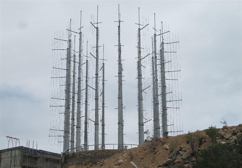
OSINT India/Israel/UK handle "Targets" China, Iran, Russia, Arabs ME & Pakistani Satellite imagery in illegal details
OSINT means Open Source Intelligence which uses specialized military satellites orbiting to spy on countries daily activities primarily Military activities in deep details and high resolution.
Twitter handle used which gives alot of details of positions, military installations: d-atis@detresfa_:
Link: https://twitter.com/detresfa_
UK/Canada/Israel. Bringing you world events as they happen, focusing on the Middle East including Pakistan, Afghanistan Region:
https://twitter.com/Sbreakintl
https://twitter.com/Auroraintel
What is China, Iran, Russian, Arabs ME & Pakistani response on these threats?
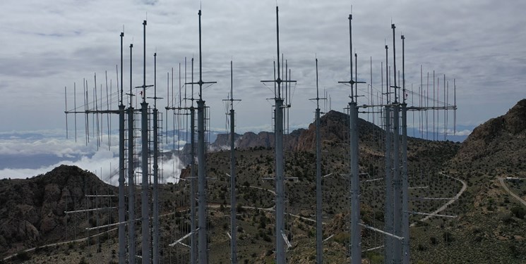