jupiter2007
SENIOR MEMBER

- Joined
- Feb 19, 2007
- Messages
- 5,251
- Reaction score
- -3
- Country

- Location
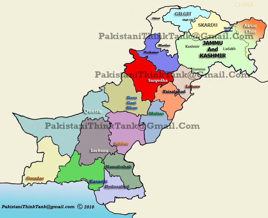
I like this formula for more provinces in Pakistan

In my opinion they should have provinces with maximum geographical boundary of 50,000 square km. Thats large enough area to be maintained by 1 Chief Minister. Something similar to India did in Punjab region of India by dividing each region to about 50,000 square km to carve out Haryana and Arunchal Pradesh out of Punjab
There should be 14-18 provinces carved out of current 4 provinces and 3 territories of Pakistan and additional 3-4 provinces shown and officially recognised for Indian held Kashmir until or unless the resolution has been made and land boundaries are permanently defined
I don't understand if India in almost every newspaper claims to have border with Afghanistan and often counts the territories of Pakistan as her then why don't we do the same.
So basically 18 provinces from the existing geography of about 883,000 square kilometres and 3-4 provinces as held Kashmir.
Ps: I am aware of the legal reasons for not declaring AJK and GB as provinces of Pakistan but India has done the same, there should be clear stance about it and everybody should get equal rights in Pakistan
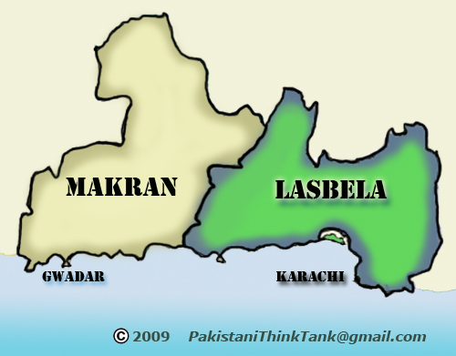
I created this map back in 2003. Many webistes are using this map. This a updated map with same prounces. I have posted the updated map in this forum few years ago.


I also have 2 other proposals.

Last edited:


