What's new

In love with Northern Pakistan

Very nice pictures. Here in my state, it is very much similar except the lush green valleys' abundance in northern areas. That's only found in other states like Uttarakhand, Himachal, Arunachal and J&K. Here in Sikkim it is more about snow, ice, waterfalls and rocky areas with greenery bordering southern state and northern Bengal.

Very nice pictures. Thanks! :)
 
This reservoir has been made by the locals to produce electricity, there is a power generation unit at the end.
281407_10150747942510305_690090304_19818432_5021181_n.jpg


282455_10150747933495305_690090304_19818280_8097018_n.jpg


284827_10150747929430305_690090304_19818212_3076521_n.jpg


267264_10150747949325305_690090304_19818542_6453541_n.jpg

This is the turbine room for that reservoir.

226069_10150747947905305_690090304_19818525_2326998_n.jpg


http://a8.sphotos.ak.fbcdn.net/hpho...747974310305_690090304_19818879_7398009_n.jpg
 
paragliding videos


karakoram highway, road to hunza

 
Last edited by a moderator:
lake_lulusar_01.jpg


Lulusar lake


456141819_475d0f50b8_o.jpg


624.jpg


Hunza

625.jpg


Shogran

627.jpg


The Magic Of Hunza Is Hard To Depict; where the glacial water of Ultar is known for some therapeutic distinctiveness, which, in favorable circumstances have caused the aboriginal populace, long life and a very low ratio of heart diseases.


628.jpg


Gojal Area, Upper Hunza Valley, Northern Areas of Pakistan
 
631.jpg


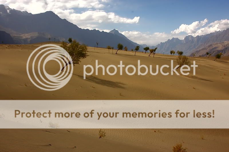
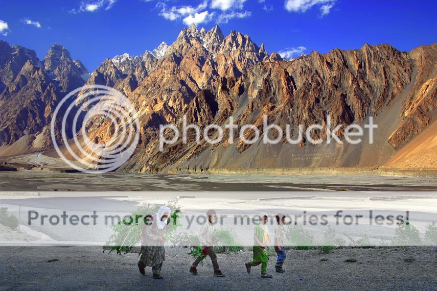
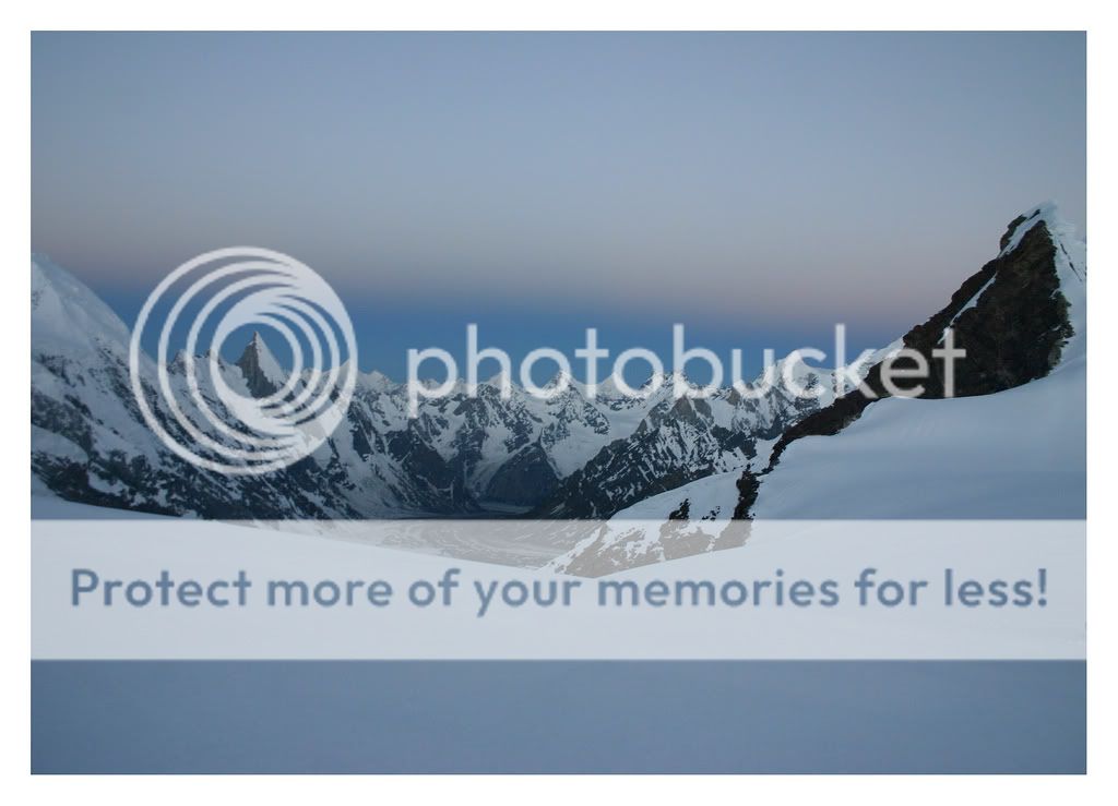
Boulter Peak, taken during the Walk in the Duikar Valley, in Hunza, Pakistan.
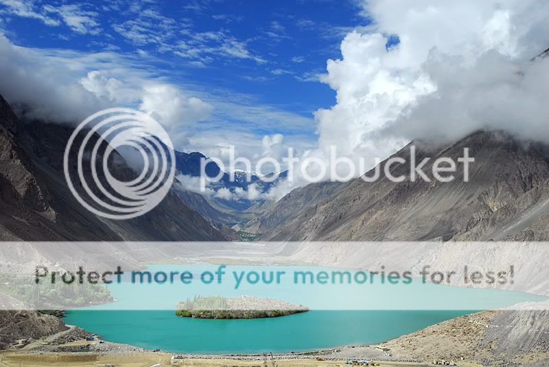

632.jpg


633.jpg


Hunza

636.jpg


641.jpg


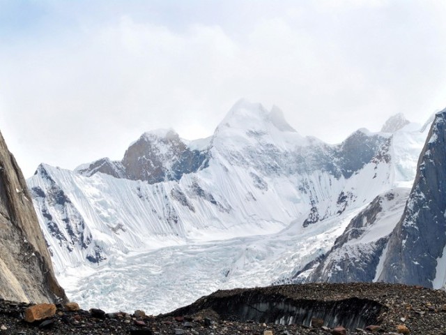
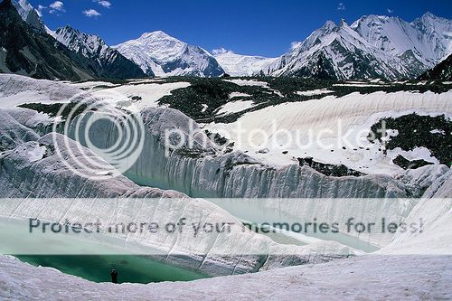
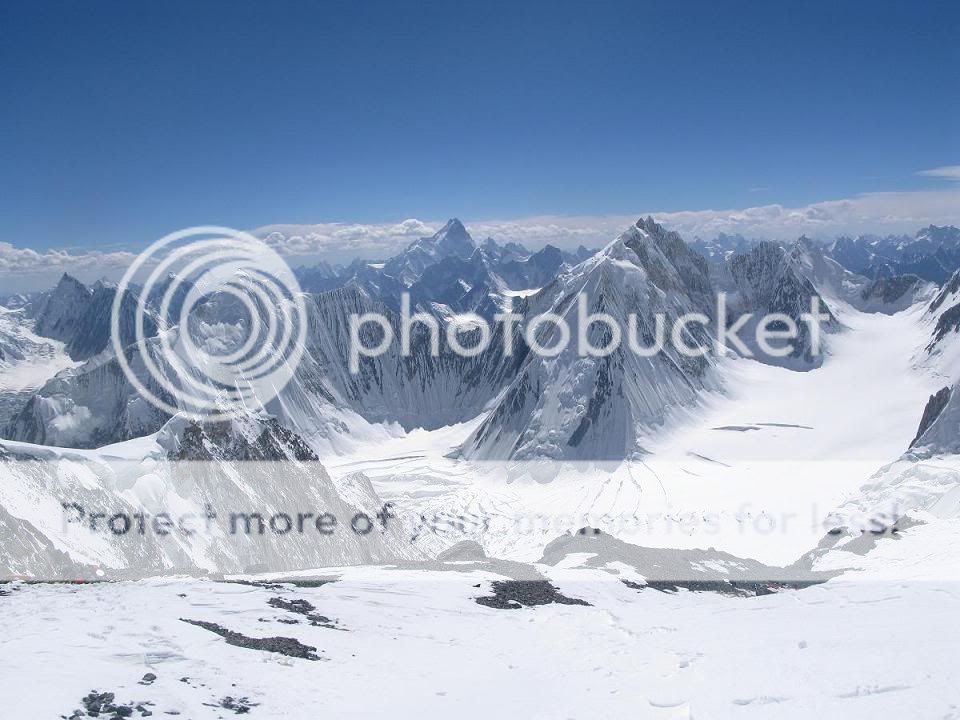
Hidden behind the mist is the Diran Peak (7266 m). Below is the Nagar Valley, Northern Areas of Pakistan. In Nagar heights seems to be unlimited. Rakaposhi (7788 m) is in Nagar and is the Biggest Slope in the world.

Hunza was previously under the domination of Nagar and collectively called Buroshall and their capital was Capal Dongs. But afterwards divided Buroshall into Nagar and Hunza and declared the river as the border.

Nagar was famous for its polo team. Until 1972 it was the unbeatable team of the northern areas.

The whole area of Nagar is declared as a community park to prevent the hunting of many endangered animals such as Marco Polo sheep, brown bears, snow tigers etc.

Shot Taken from the Water channel at Upper Karimabad, On hike to Eagle's Nest.

644.jpg


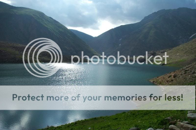
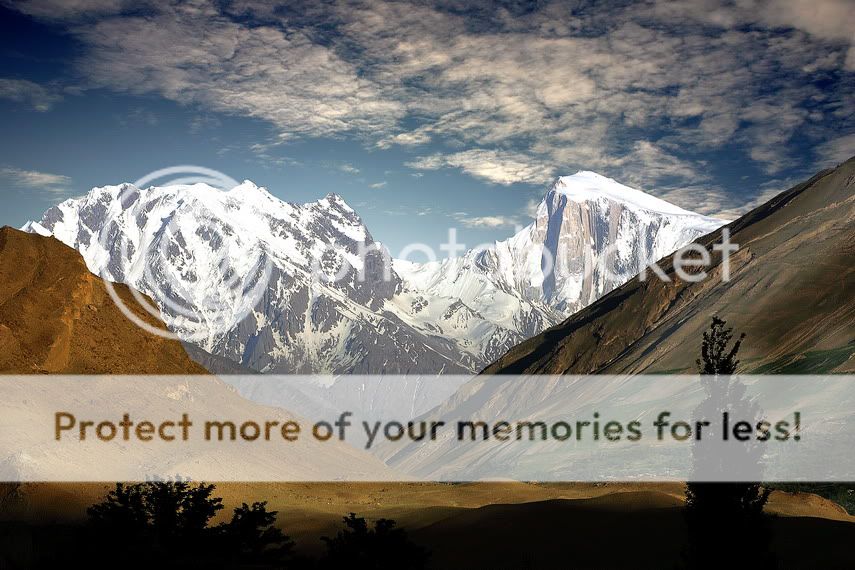
Malka Parbat is the highest peak in Naran Valley region in northern Pakistan. It is 17500 feet/5334m high. It is very challenging and is still unconquered.


651.jpg


664.jpg


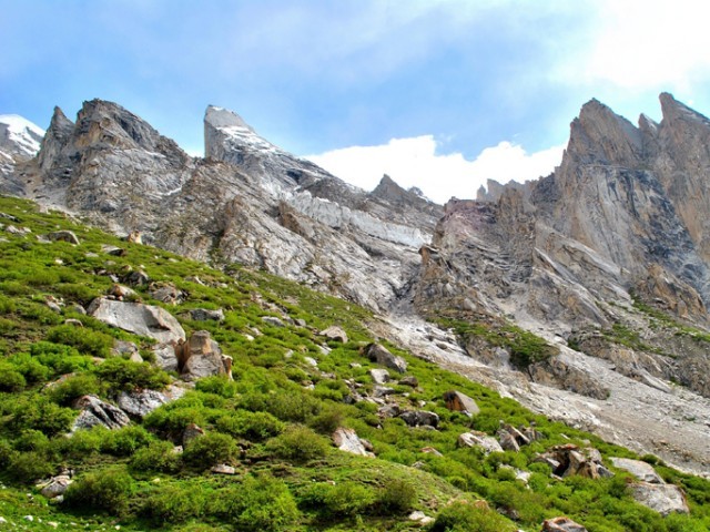
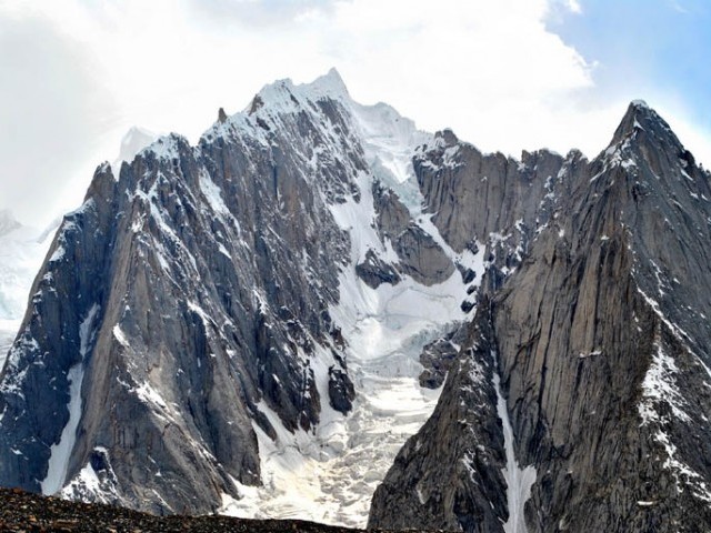
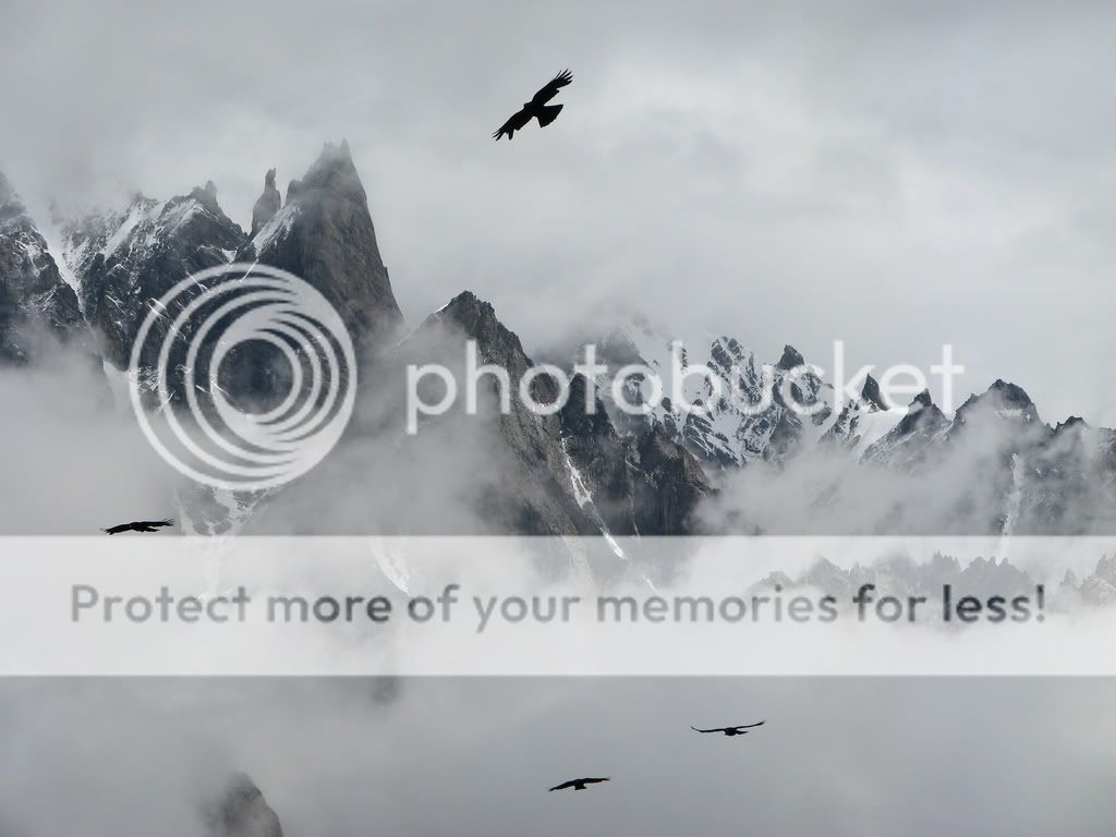
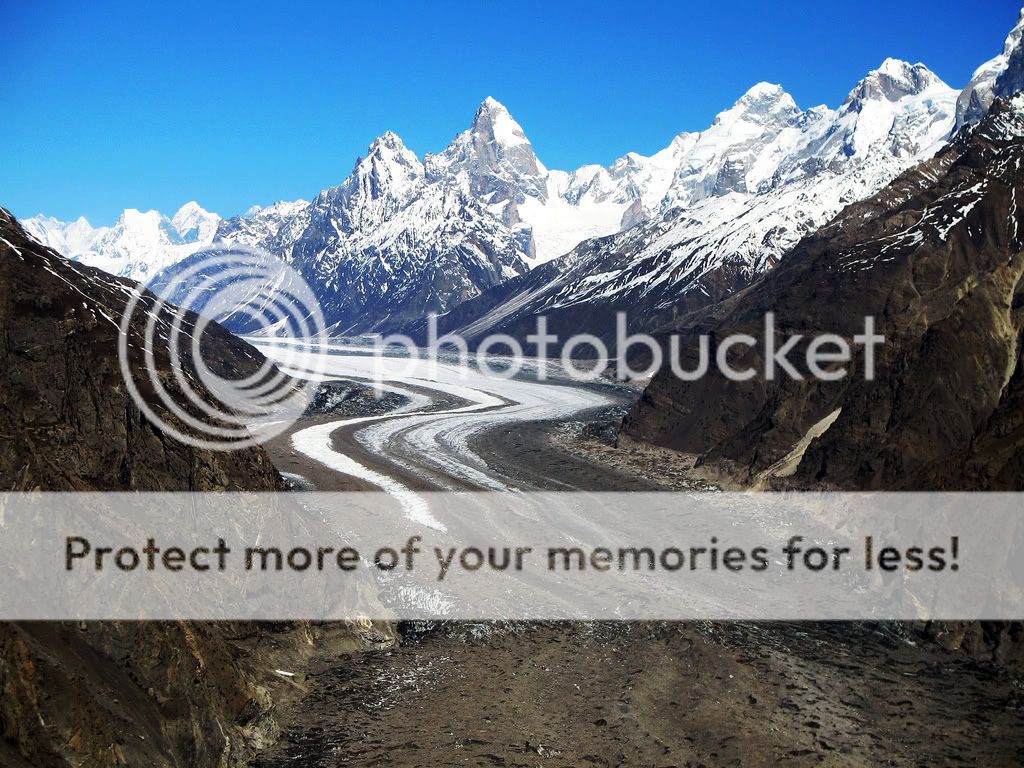
Urdukas, towards the Lobsang Spire, Pakistan. A.k.a. the kingdom of eagles.
 
678.jpg


680.jpg


Hidden Peak (a.k.a. Gasherbrum I 8068M), Pakistan


723.jpg


River Indus, Pakistan

Great trans-Himalayan river of South Asia and one of the longest rivers in the world, having a length of 1,800 miles (2,900 kilometres). It has a total drainage area of about 450,000 square miles (1,165,500 square kilometres), of which 175,000 square miles lie in the Himalayan mountains and foothills and the rest in the semiarid plains of Pakistan. The river's annual flow is about 272 billion cubic yards.

733.jpg


Sun Rays On A Village Near Passu Cones


734.jpg


Golden Peak (7027 Meters High)


736.jpg


Life At Passu Cones
 
746.jpg


Golden peak (spantik )7027mtrs view from rush lake (4700 mtrs) highest lake in Pakistan


750.jpg


Shandur Top (el. 12,200 ft.) is a high mountain pass that connects Chitral to the Gilgit in Pakistan.

The top is flat, a plateau and can be crossed between late April and early November. The grade is very gradual, and the area is crossed by small streams of trout. Grazing in summer is plentiful.

Every year there is a polo match played on Shandur Top between a team from Chitral and a team from Gilgit.

757.jpg


Deosai plains exists some 4000 meters above sea level. One finds a lot of suspension bridges and water streams just like this one. These plains spread over thousands of square Kilometers and it takes more than five hours on jeep to cross these giant plains. Remain covered with snow most of the year. Can be accessed from Skardu or Astore Valley.

PlaceShaunterLakeLocationShaunte-1.jpg


Shaunter Lake

pic.jpg


View from the Gondogoro Snow Pass on the Hushe Valley in Karakoram, Pakistan. The picture has been taken at sunrise at the altitude of about 5,000m.

BiafogiyongGlacier.jpg


Biafogiyong Glacier

helmat2.jpg


neelum valley
 
paradise on earth....

God has been kind to us, the nation's fathers have been kind to us. Let's give back to our country by preserving it and keeping it clean (literally and symbolically speaking)


officially, the Northern Areas are known as FANA -- these are federally administered areas. Very rich in cultural heritage, and very scenic -- as seen throughout the thread.
 

Back
Top Bottom