ghazi52
PDF THINK TANK: ANALYST

- Joined
- Mar 21, 2007
- Messages
- 101,791
- Reaction score
- 106
- Country

- Location

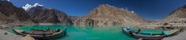
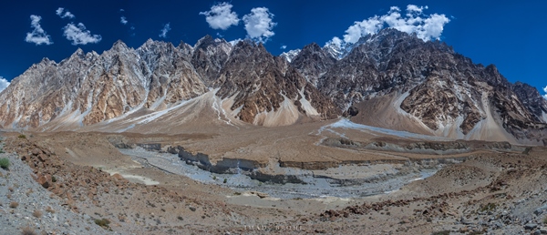
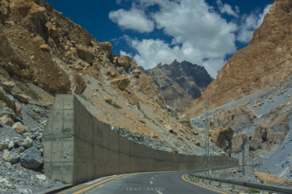
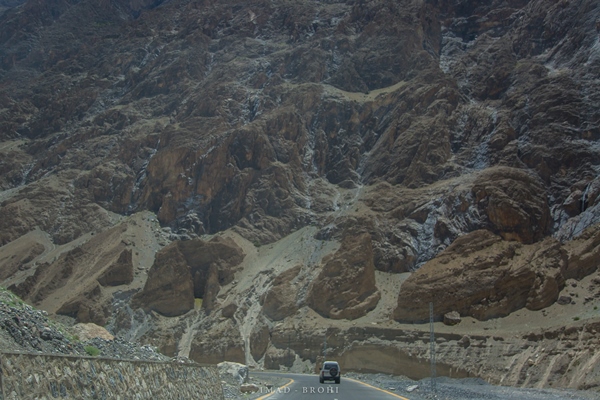
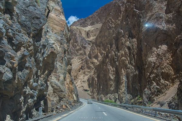
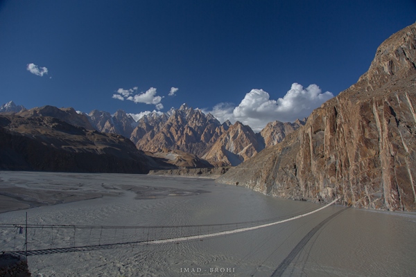
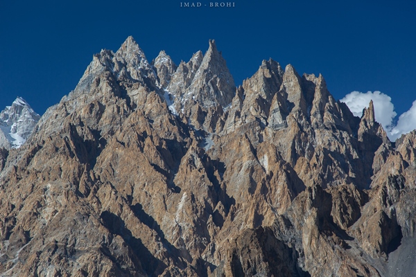
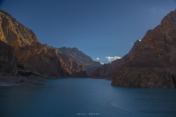
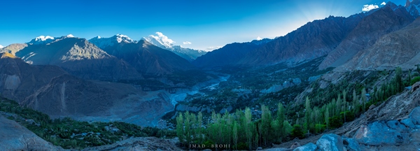
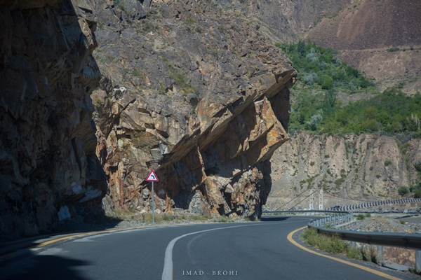
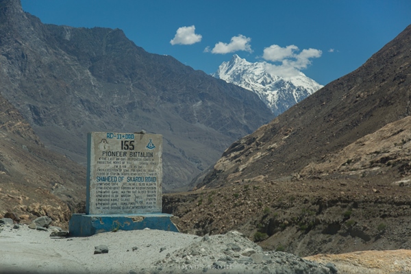
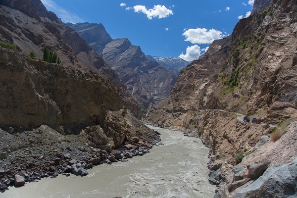
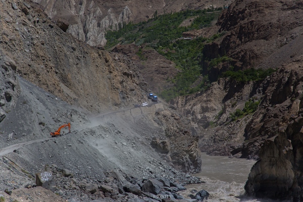
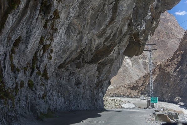
My road trip to Khunjerab and Skardu via the engineering marvel that is the Karakoram Highway
What can you do in five days? That’s the question I asked when my employers announced a five-day Eid holiday this year. With Eid conveniently falling in June, it was an excellent opportunity to explore the mighty Karakoram Highway. I booked the tour with Karakoram Tours Pakistan, and landed in Islamabad one fine morning for the journey to begin.
Upon exiting the airport, I met my guide Mohammad Bashir, a polite Balti man from Skardu, and we began our journey immediately. In this blog, I will take you through one of the highest mountain ranges in the world – the Karakoram – on the engineering marvel known as the Karakoram Highway.
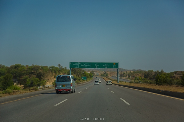
Driving through the plains of the capital
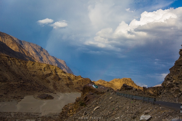
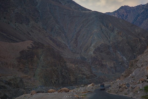
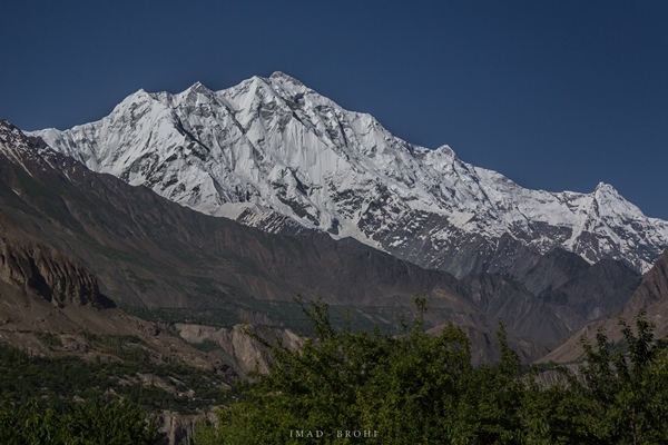
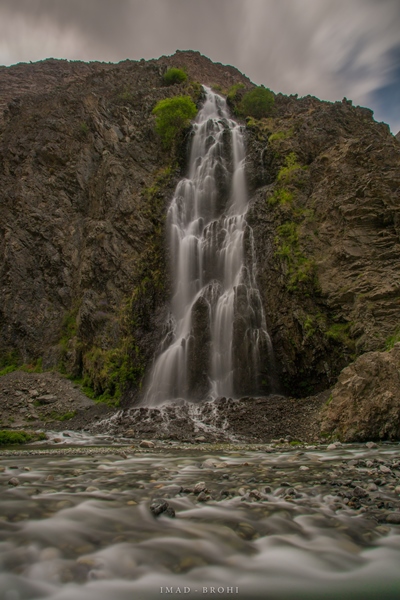
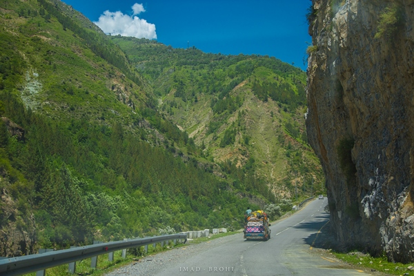
The first few hours were nothing extraordinary – plain greens of greater Islamabad. We passed Hawelian and Abbottabad along the way, but the real fun started after Balakot. The route ascends steeply following River Kunhar, as the mountains get higher and greener.
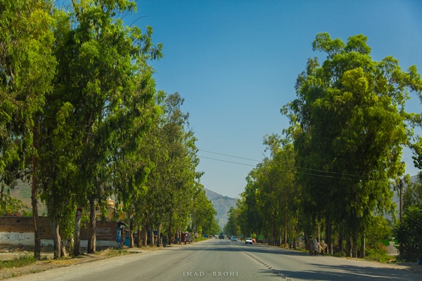
Passing through Hawelian
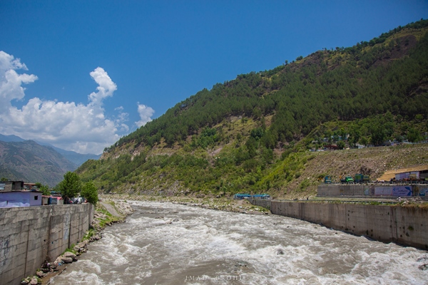
Crossing Balakot Bridge over River Kunhar
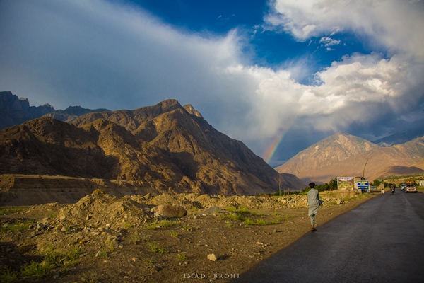
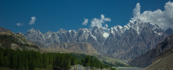
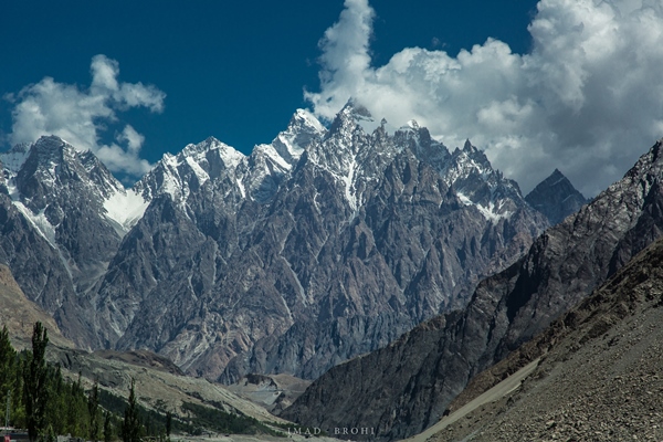
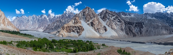
We reached Naran at roughly 3:00pm and pushed for Raikot, which is another three hours from Naran. If you have the time, I would recommend staying in Naran and exploring the beautiful Lake Saiful Mulook there.
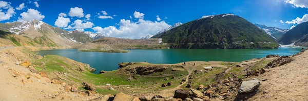
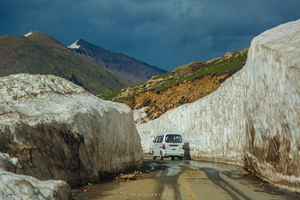
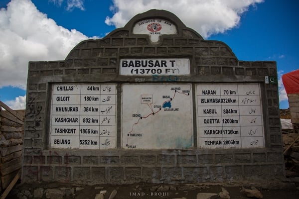
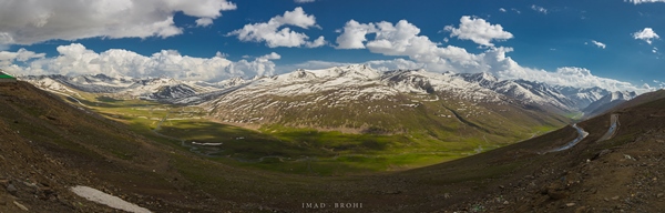
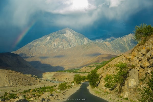
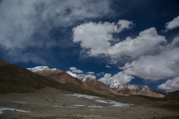
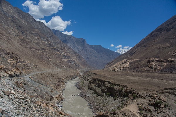
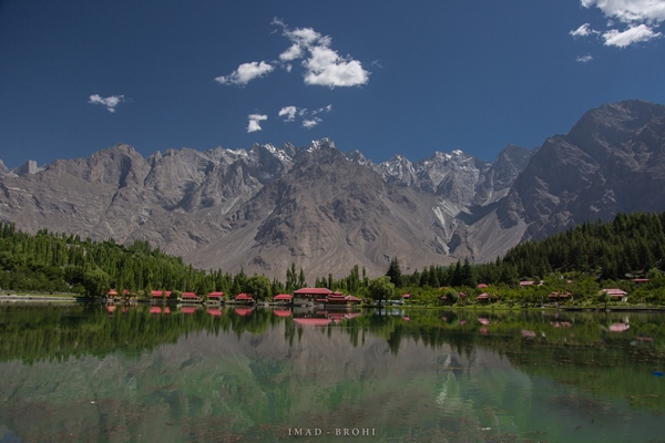
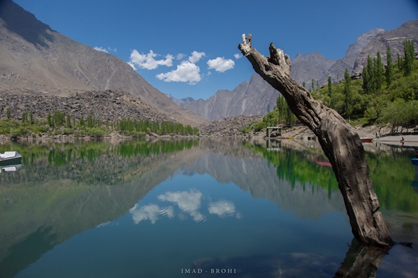
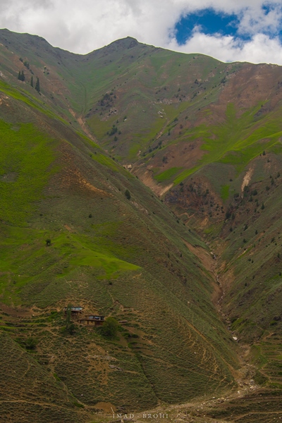
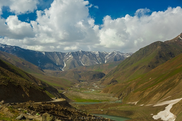
Half an hour – some 60 kilometres – from Naran lies the beautiful Lulusar Lake. The lake is visible from the road and is the source of River Kunhar. After the lake, the road continued its steep ascent passing through glacial spurs, until we reached the Babusar Pass at 4:25 pm. The pass lies at 3,900 metres and connects the provinces of Khyber Pakhtunkhwa (K-P) and Gilgit-Baltistan (G-B). The sudden increase of elevation is likely to bring on headaches and feelings of dizziness.
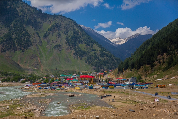
Naran
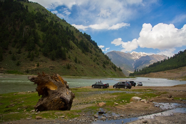
Families enjoy a day out along the banks of River Kunhar
Shogran
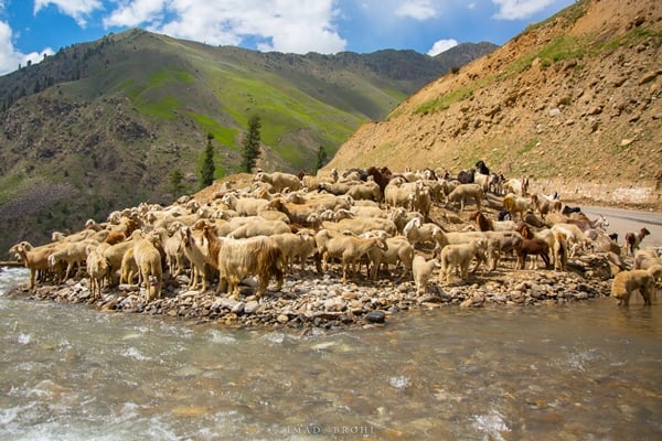
A herd of goats and sheep gather for a drink
What can you do in five days? That’s the question I asked when my employers announced a five-day Eid holiday this year. With Eid conveniently falling in June, it was an excellent opportunity to explore the mighty Karakoram Highway. I booked the tour with Karakoram Tours Pakistan, and landed in Islamabad one fine morning for the journey to begin.
Upon exiting the airport, I met my guide Mohammad Bashir, a polite Balti man from Skardu, and we began our journey immediately. In this blog, I will take you through one of the highest mountain ranges in the world – the Karakoram – on the engineering marvel known as the Karakoram Highway.
Driving through the plains of the capital
The first few hours were nothing extraordinary – plain greens of greater Islamabad. We passed Hawelian and Abbottabad along the way, but the real fun started after Balakot. The route ascends steeply following River Kunhar, as the mountains get higher and greener.
Passing through Hawelian
Crossing Balakot Bridge over River Kunhar
We reached Naran at roughly 3:00pm and pushed for Raikot, which is another three hours from Naran. If you have the time, I would recommend staying in Naran and exploring the beautiful Lake Saiful Mulook there.
Half an hour – some 60 kilometres – from Naran lies the beautiful Lulusar Lake. The lake is visible from the road and is the source of River Kunhar. After the lake, the road continued its steep ascent passing through glacial spurs, until we reached the Babusar Pass at 4:25 pm. The pass lies at 3,900 metres and connects the provinces of Khyber Pakhtunkhwa (K-P) and Gilgit-Baltistan (G-B). The sudden increase of elevation is likely to bring on headaches and feelings of dizziness.
Naran
Families enjoy a day out along the banks of River Kunhar
Shogran
A herd of goats and sheep gather for a drink