RangeMaster
FULL MEMBER

- Joined
- Dec 25, 2016
- Messages
- 1,647
- Reaction score
- 1
- Country

- Location
This adventure has to be the most fulfilling experience of my life.
Imad BrohiUpdated 3 days ago
In June this year, I returned to Baltoro/Concordia region of the Karakoram range, home to four of the 14 8,000 metre peaks in the world.
On my last trip in 2016, I visited the K2 and Broad Peak Base Camps and returned from the same route via Askole.
But this time I planned to cross the elusive Gondogoro La and return via Hushe Valley, completing a circular trek.
I had heard so many stories about Gondogoro La and it was time to experience it for myself.
What is Gondogoro La?
La in Balti means mountain pass, ridge or a low point between two mountains, allowing access through a relatively lower point.
Gondogoro La connects Baltoro region with Hushe Valley, home to the exquisite Laila Peak (6,096m) and some small villages like Hushe and Kanday.
However, the pass is very steep and crossing it requires the use of fixed ropes to ascend and descend. So in a way, this is beyond conventional trekking.

Leaving Skardu.—All photos by author
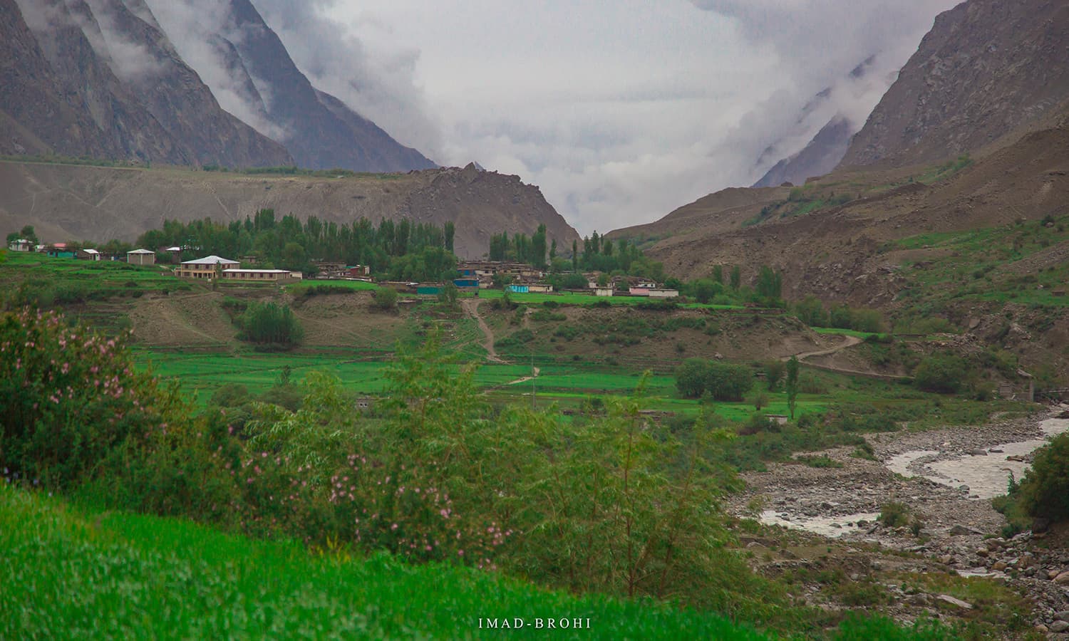
Passing the town of Shigar, 45 minutes from Skardu.
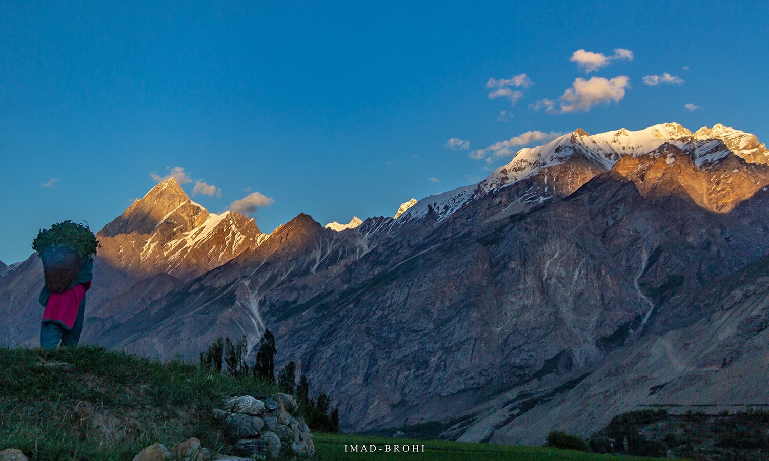
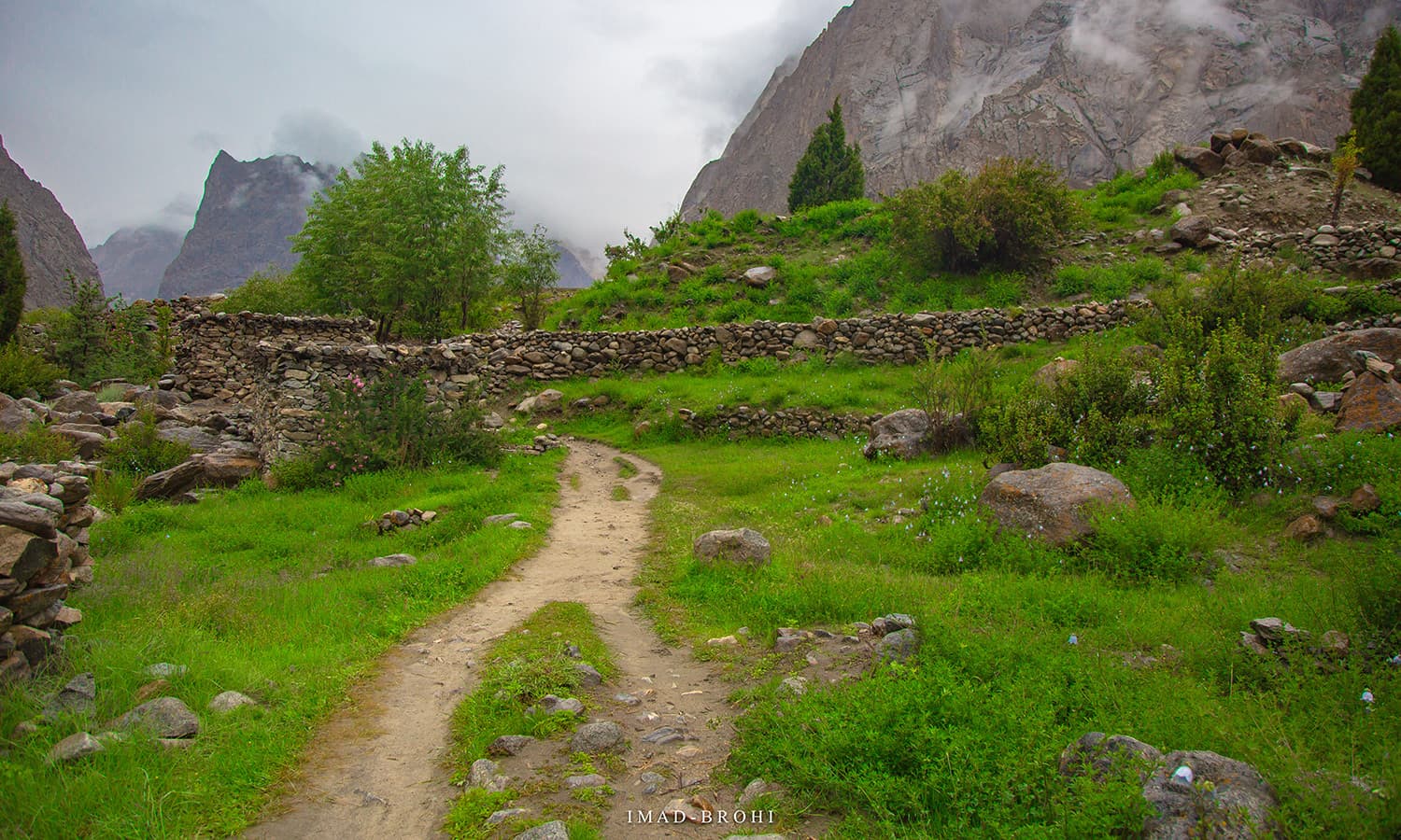
You know you have reached Askole when all of a sudden, the barren route turns green. Askole is a small farming community and doorstep to the giants of Karakoram.
At the beginning of every season, a rescue team from Hushe village takes up the task of fixing these ropes, maintaining them through the trekking season and removing them at the end of the season in late August.
They establish their presence on each side of the pass — Ali Camp on the Baltoro side and Khuspang on the Hushe side — and charge a nominal fee from trekkers crossing the pass for their services, which is a fair deal.
To cross this pass at any other time of the year, teams would require services of High Altitude Porters (HAPs) who would fix these lines allowing them to make the crossing.
Planning the trip
I started planning a few months before the trip.
I had been to Baltoro before, so I knew what to expect — but my biggest question was when the ropes would get fixed.
I was hoping to reach Ali Camp on June 23 and be ready for the crossing. But if the ropes were not fixed by then, there was no point in making the trip.
I contacted nearly half a dozen trekking companies to find out. While some assured that the ropes should be fixed by then, others were skeptical.
Uzun Brakk (6,375m) that lies on Biafo Glacier can be viewed near Khorofon, midway between Askole and Jhola. Route to Snow Lake turns north from here towards Biafo Glacier.
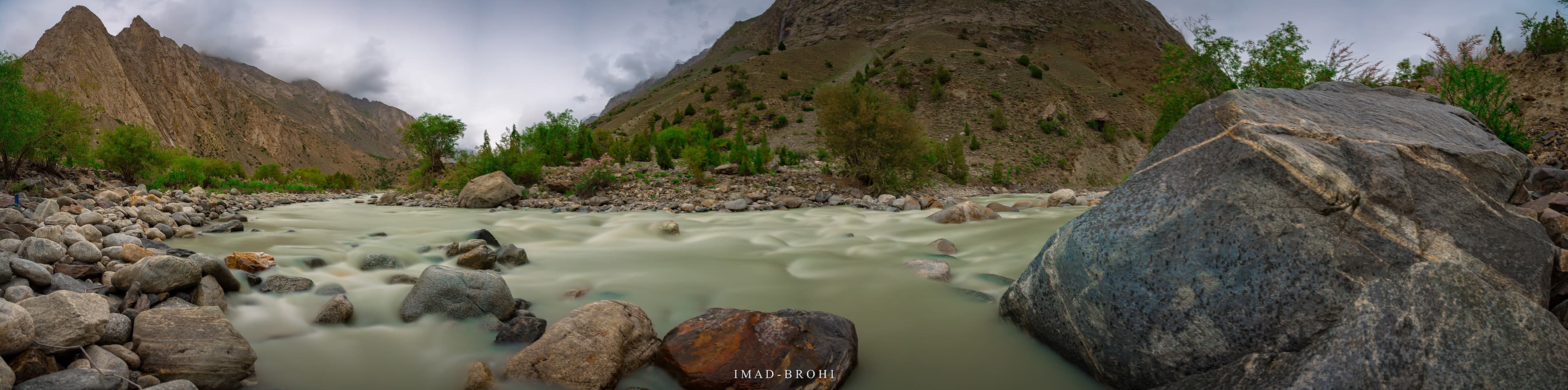
The valley opens up and the flow of Braldu River slows down before Jhola.
Guide Fida Mohammad poses at a trail cut through mountain rock.
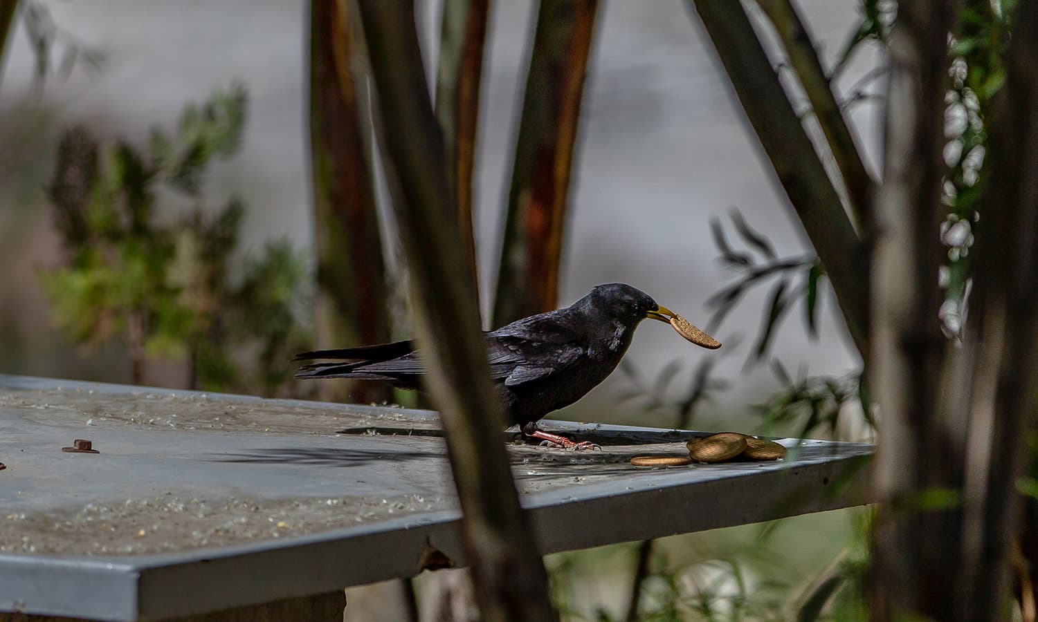
A crow steals my snack at Jhola.
The answer finally came from Manzoor Ahmed of Karakoram Tours Pakistan who informed me that the rescue team had met in Hushe and planned to fix the ropes immediately after Eid (mid-June).
Ahmed had a climbing expedition headed over to Broad Peak on a similar date and offered me to join them until Concordia, after which I would separate from the group and head over to Ali Camp and make the crossing with a smaller team, including a guide and a few porters.
It seemed a good deal to me — a smaller group had higher chances of crossing the pass than a larger one.
Islamabad, Skardu, Askole and Jhola
Bakhordas, Latok Group
Most local or international expedition teams intending to visit the Karakoram in Pakistan begin by arriving in Islamabad.
The second stop is Skardu, where I stayed at the Pakistan Tourism Development Corporation’s K2 Motel and met the Broad Peak expedition team.
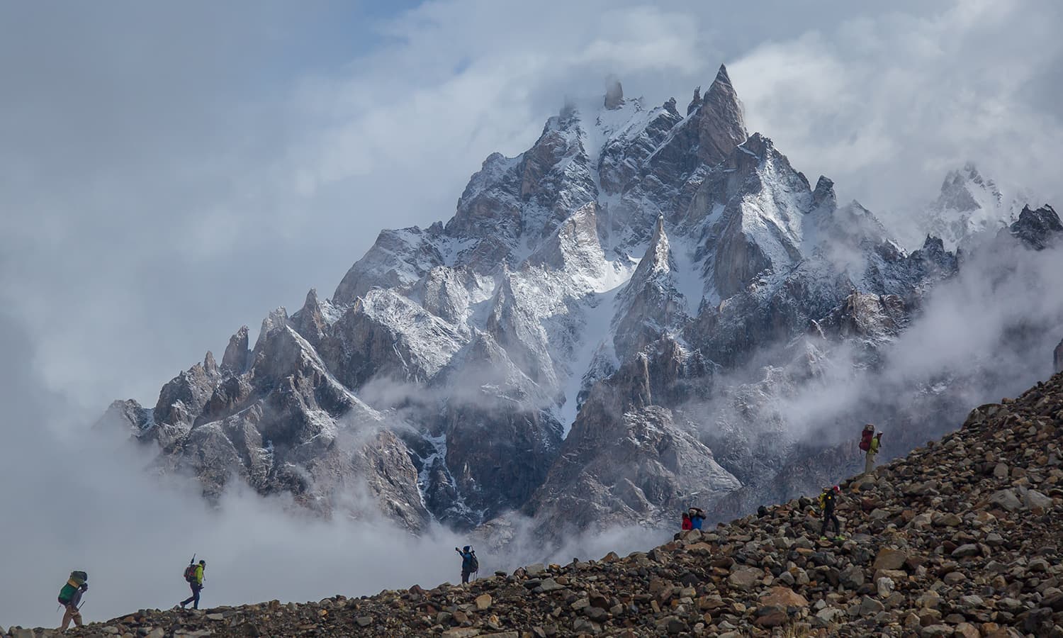
The motel was hustling with many international climbing and trekking expedition teams. On June 16, we made the scenic but tiring 125km road trip from Skardu to Askole that takes more than five hours due to difficult terrain.
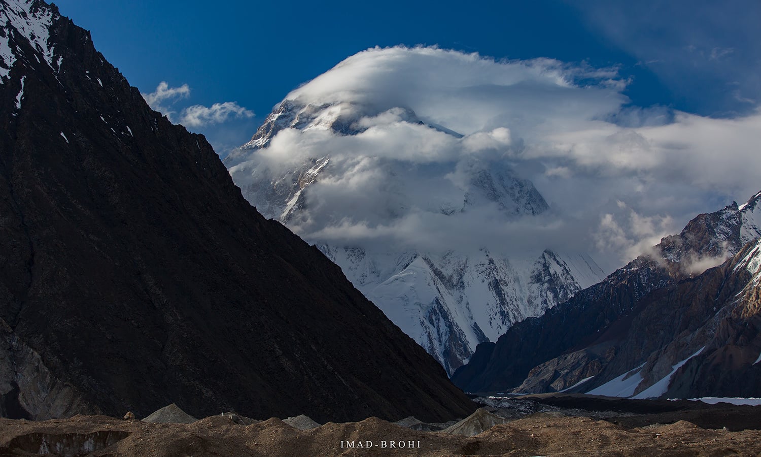
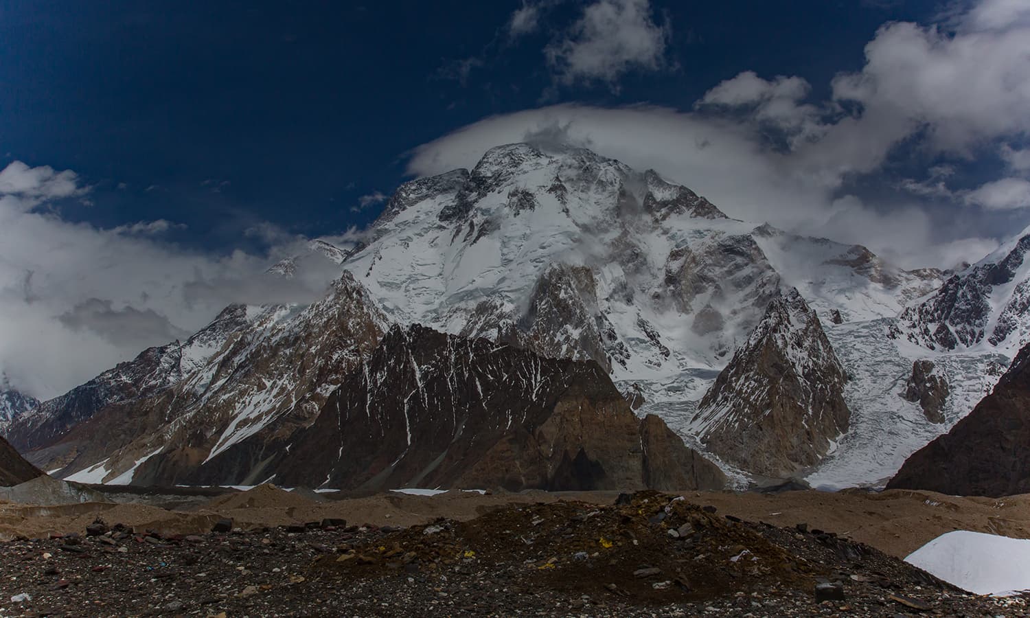
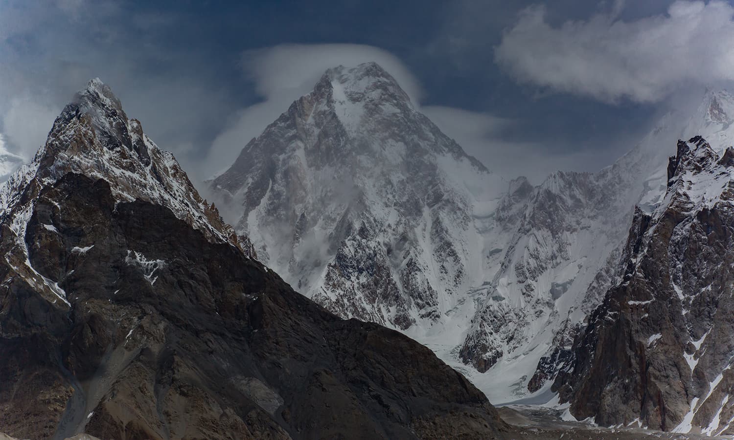
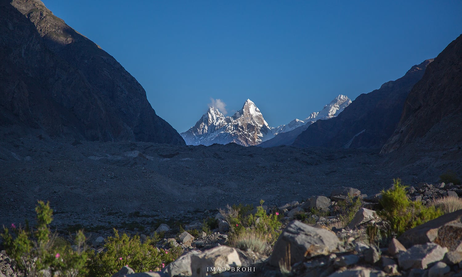
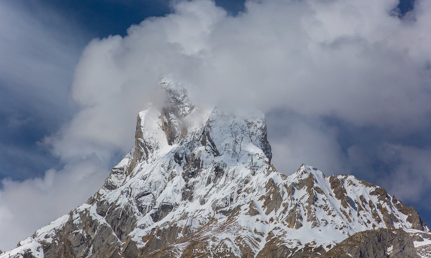
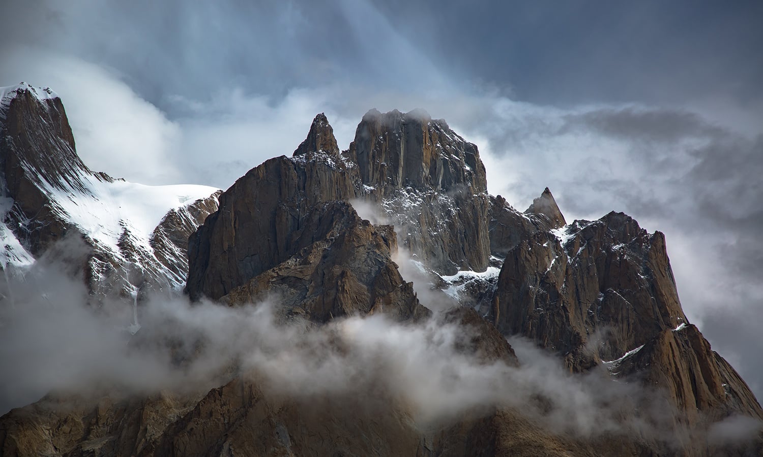
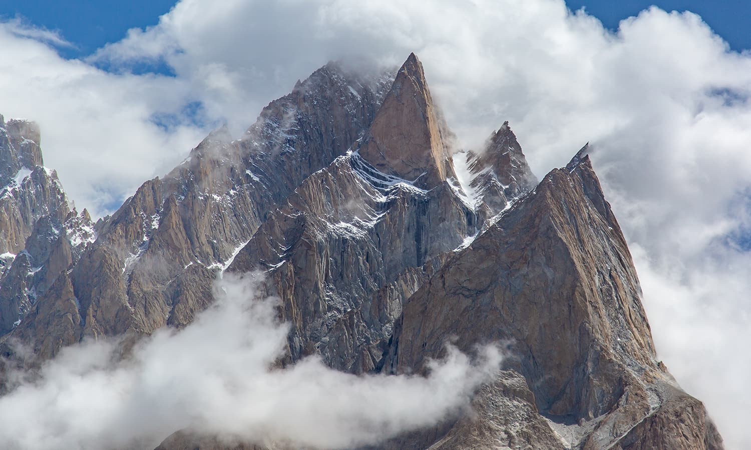
First views of the Trango Group. The highest summit is 6,286m and these granite spires present one of the most challenging climbs in the world.
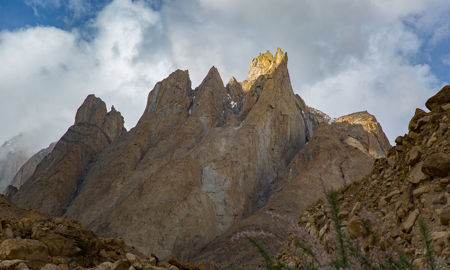
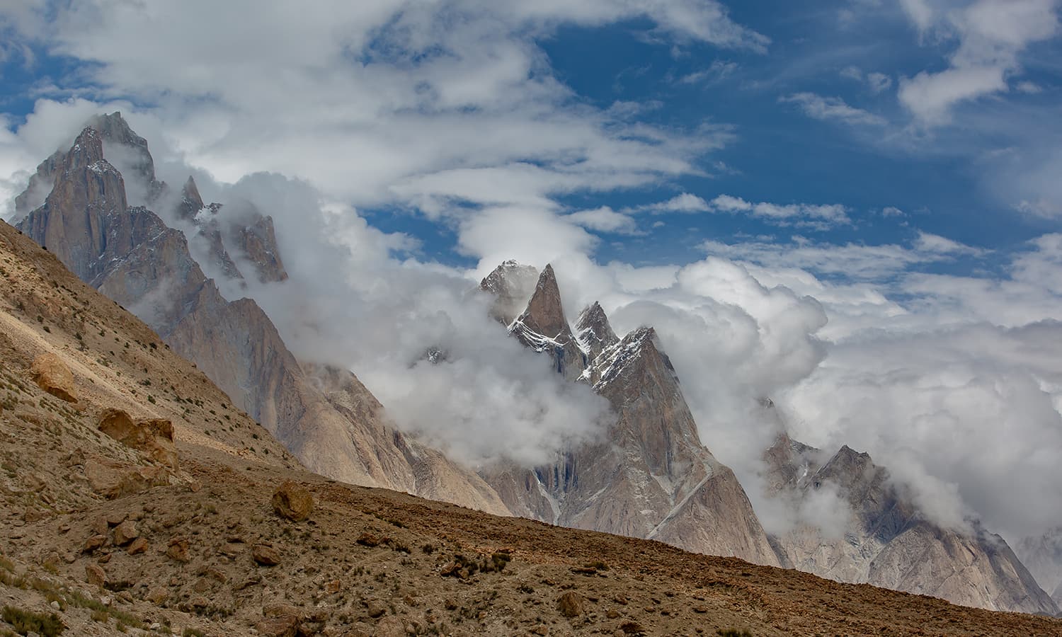
The jagged peak of Bakhordas (5,809m).
Payu Peak (6,610m).
Views of the giants from Payu: Trango and Cathedral groups.
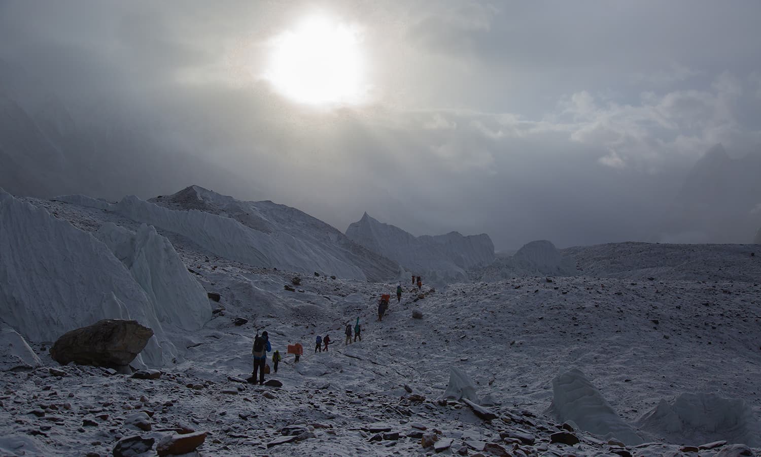
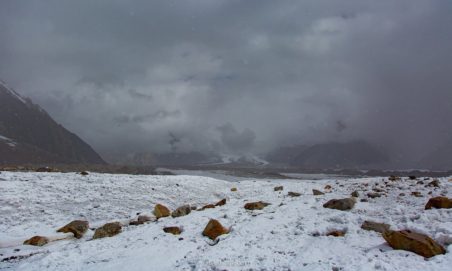
The snout of Baltoro Glacier just before we step on it. The glacier feeds the Braldu River.
After a night in Askole, we began trekking to our first destination, Jhola, a distance of 18km.
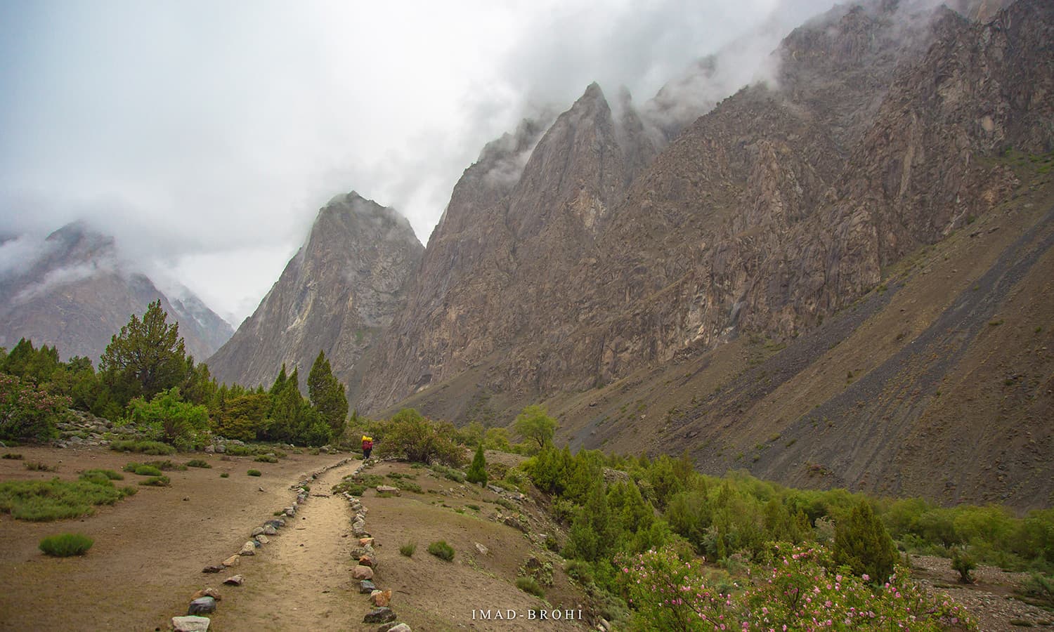
It was a nice trek with varying views and proper trail for the most part on the first day.
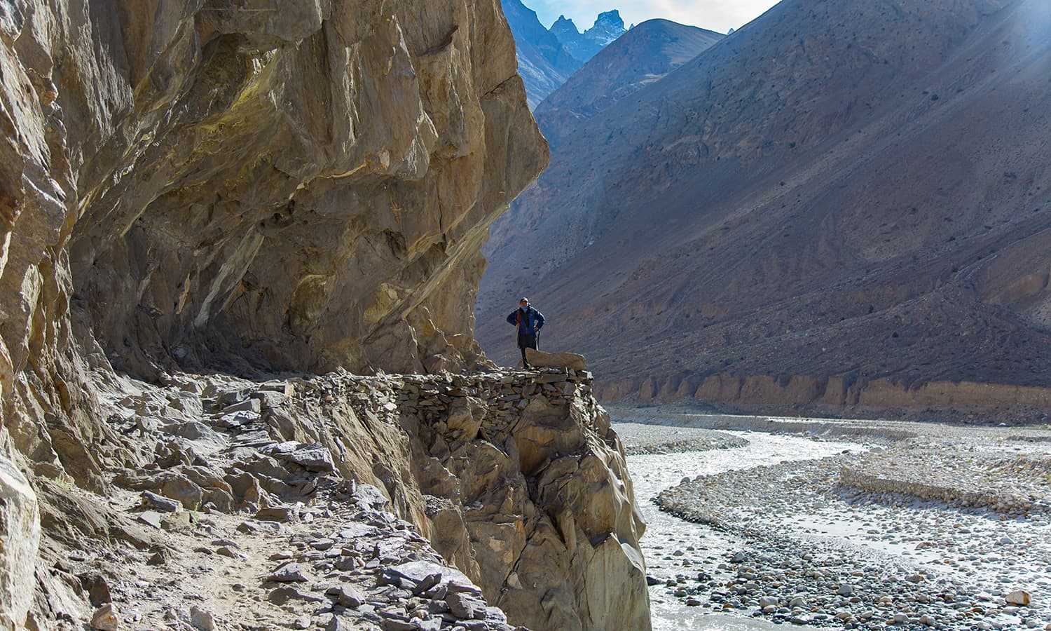
My favourite place was a few kilometres before Jhola camp, where the trail cut through mountain rock.
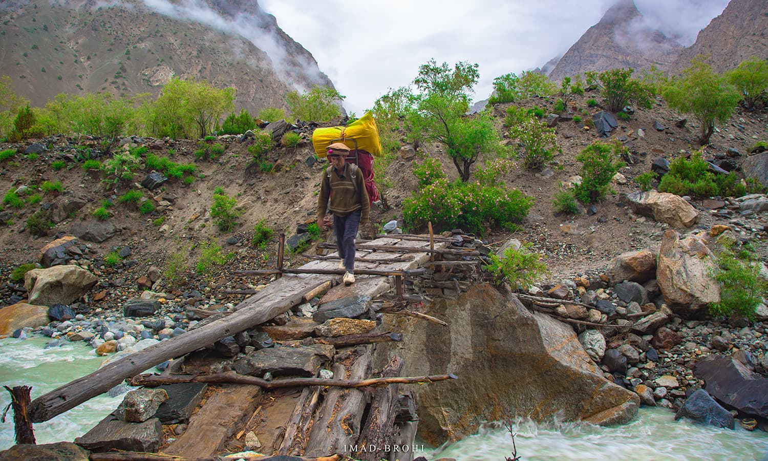
There were also some interesting bridges to cross on this day. From Jhola camp, one could enjoy the view of Bakhordas mountain (5,809m) just across the river.
Trek to Payu
Payu Peak
Payu was the second destination of the trek. This day, for the most part, featured an uneven trail and some streams and just before Payu was an extremely tiring rocky patch.
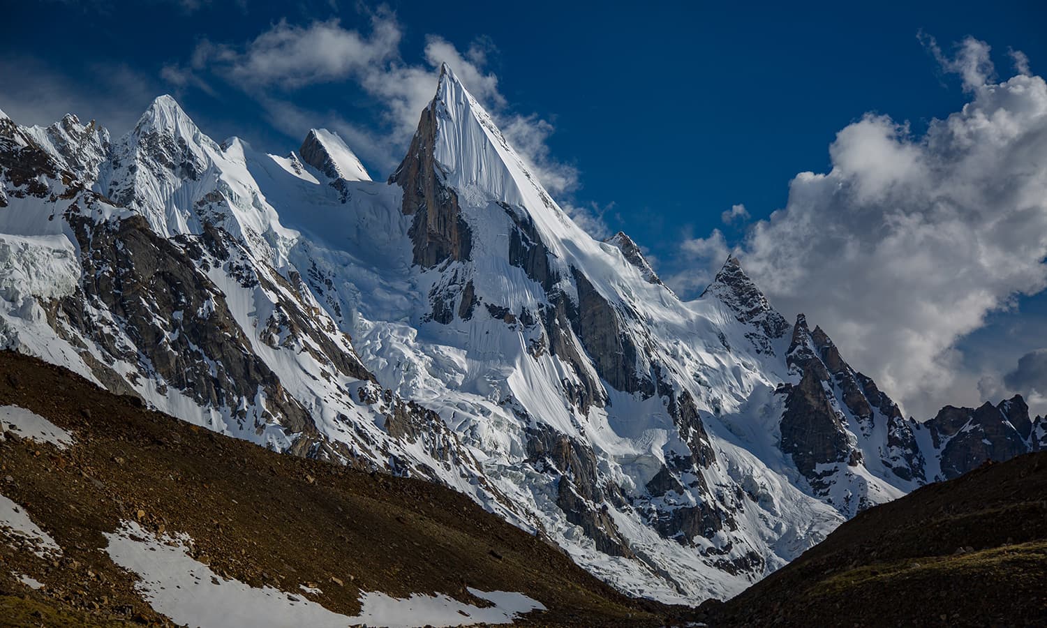
Payu Peak became visible as we neared the camp and in the far distance were the first views of the Trango Towers, a set of three near-vertical rock towers, and Cathedral Peak, also known as Passu Cones. Trek distance was roughly 20km.
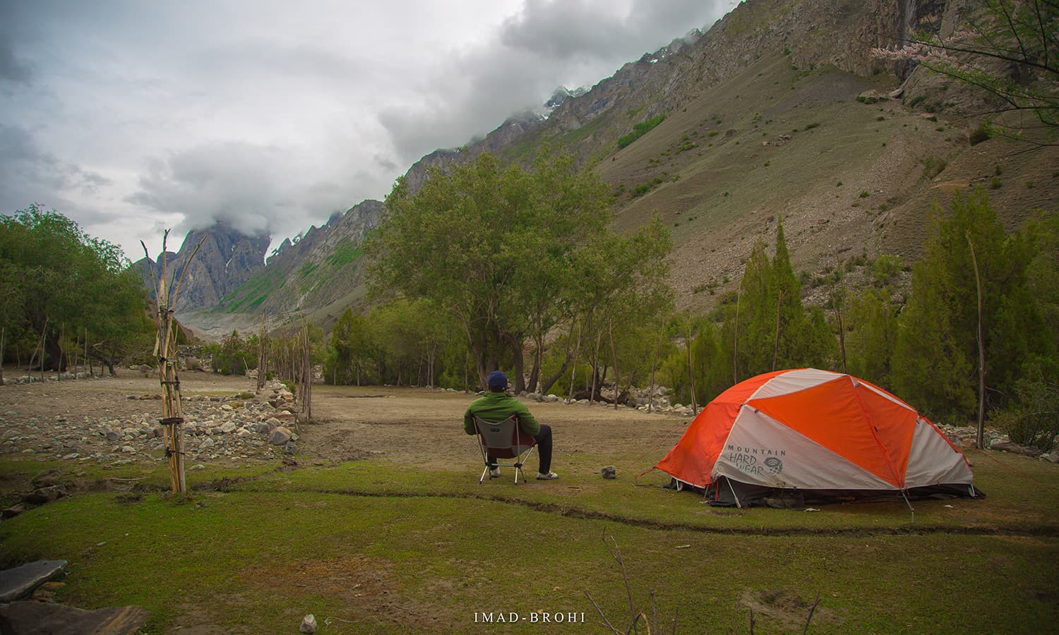
A rest day at Payu was much needed and important for acclimatisation, as we were now at 3,400m.
That day, Ahmed called me on the team's satellite phone to let me know that ropes had been fixed on Gondogoro La.
Everything seemed in place.
Trek to Urdukas
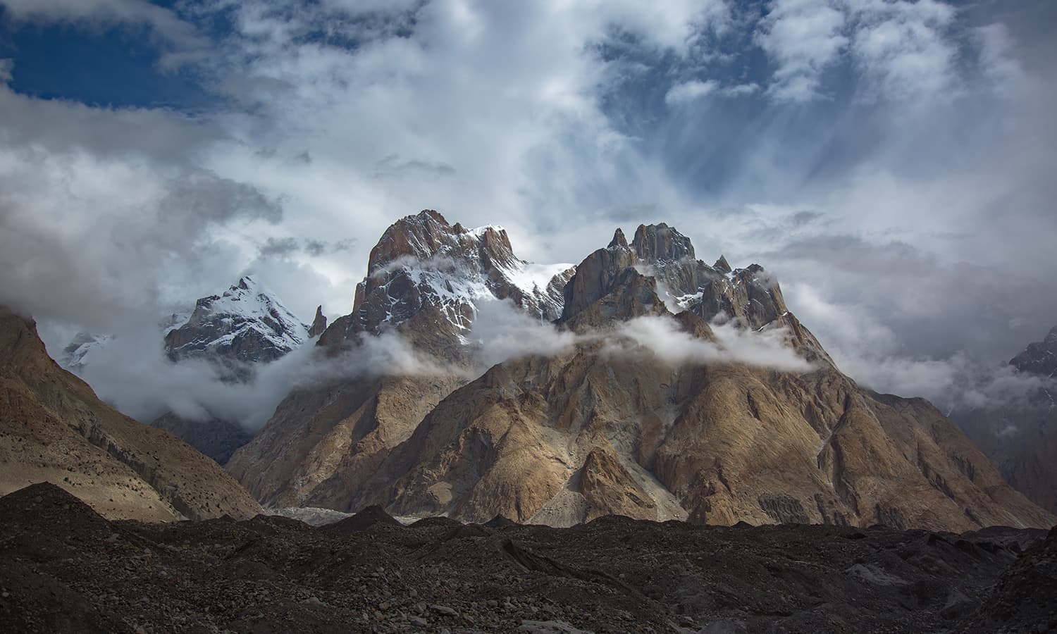
Baltoro Glacier, Trango Group, Cathedral Group and Liligo Glacier
After Payu was where the real fun began.
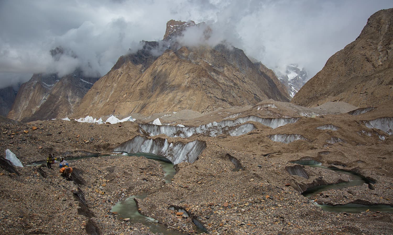
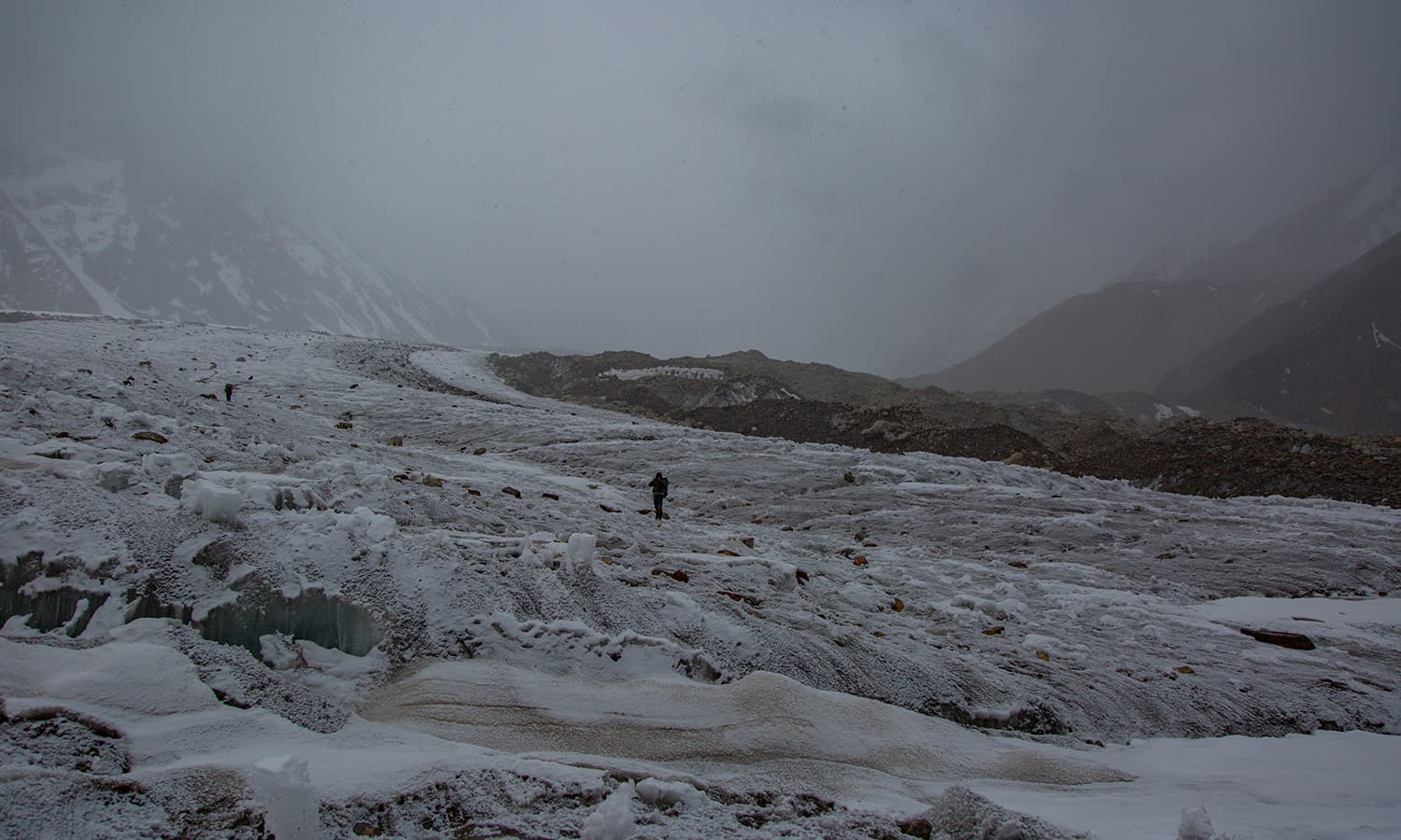
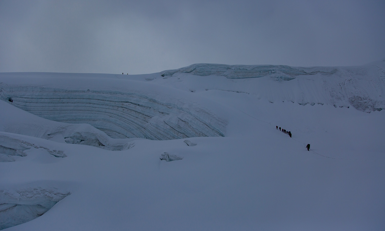
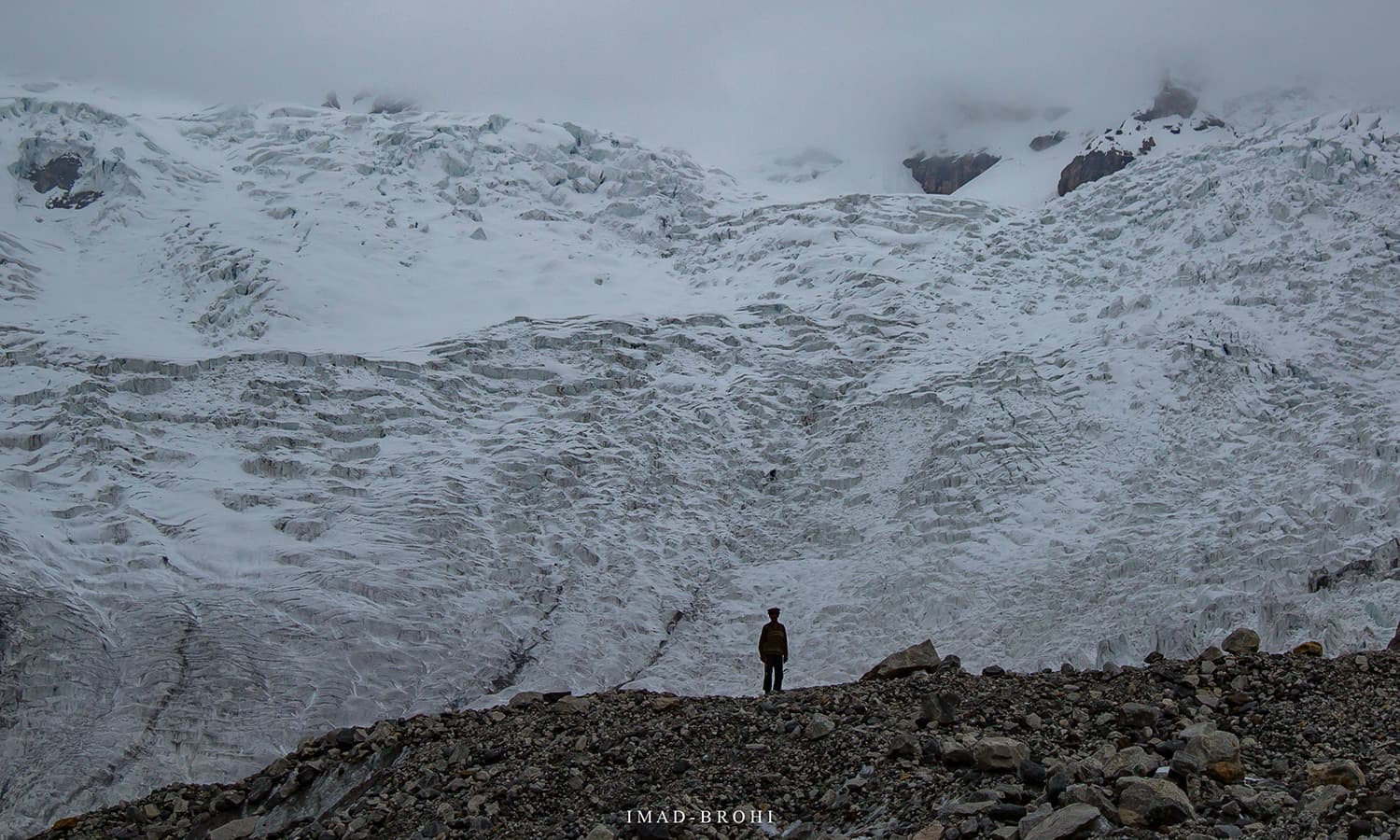
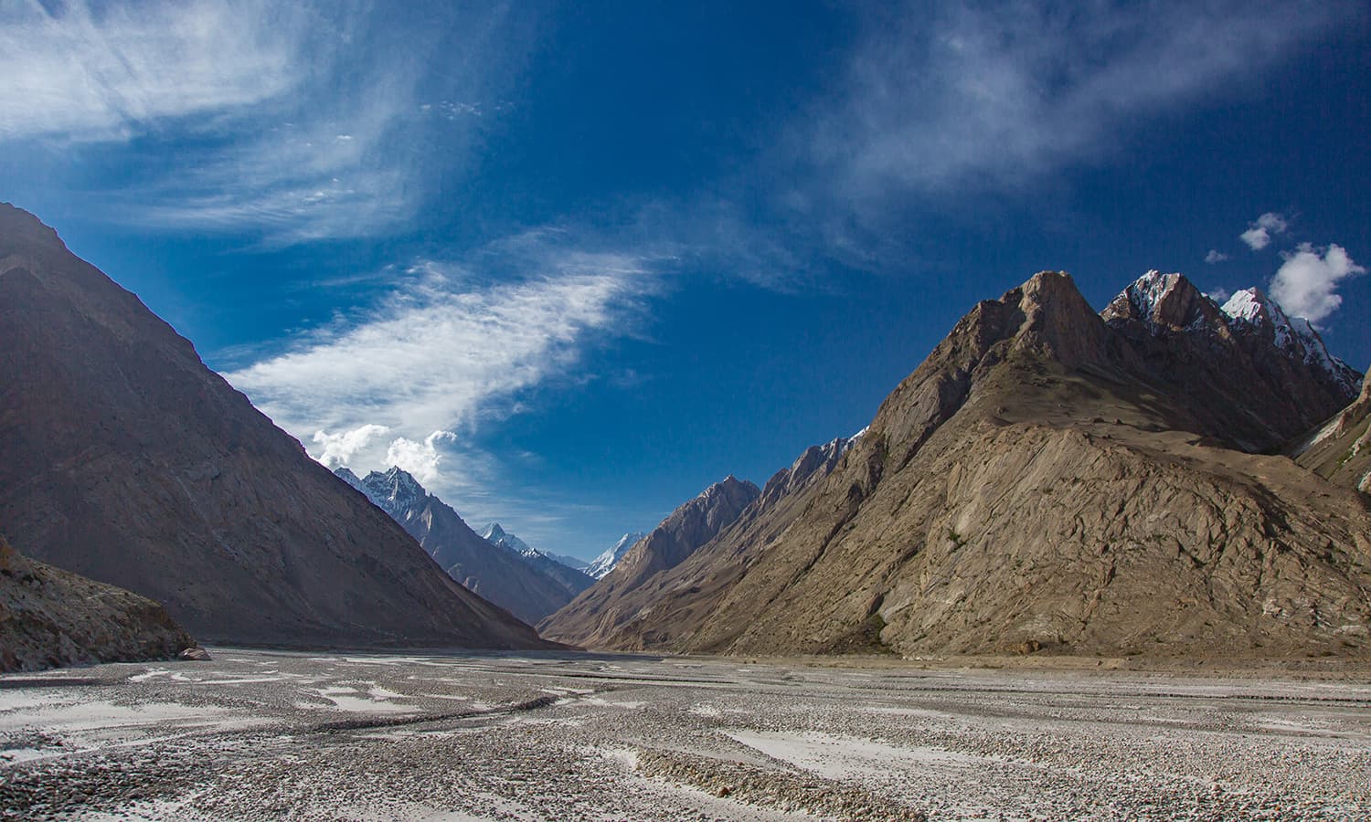
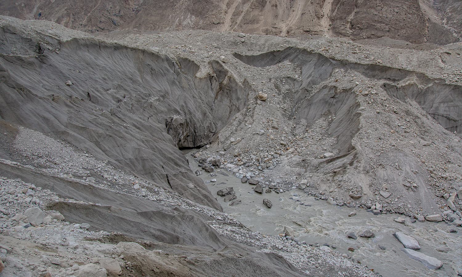
I finally stepped on the mighty Baltoro Glacier. At more than 60km long, it is one of the longest glaciers in the world outside the polar regions. It is also the source of Braldu River that connects with Shigar River.
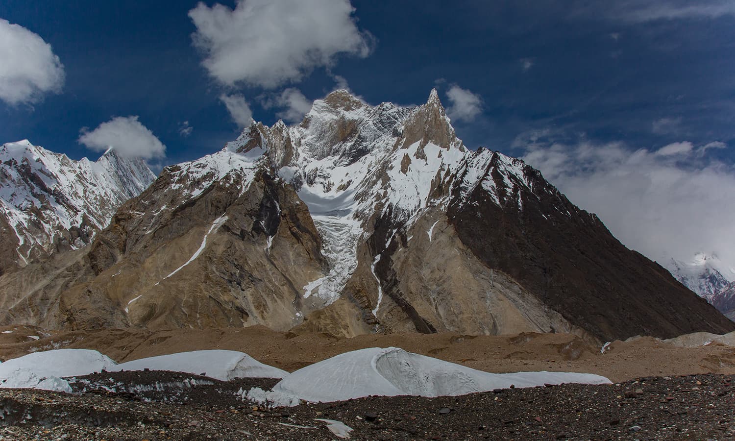
Our destination was Urdukas, some 20km from Payu. Few kilometres on the glacier and the views of the Trango and Cathedral Groups improved greatly.
summit rocks of Trango Group.
Summit rocks of Cathedral Group.
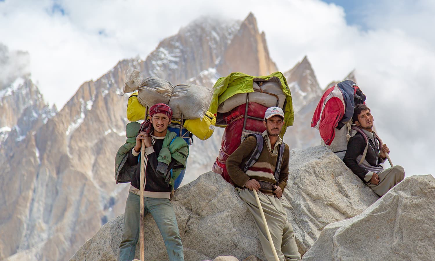
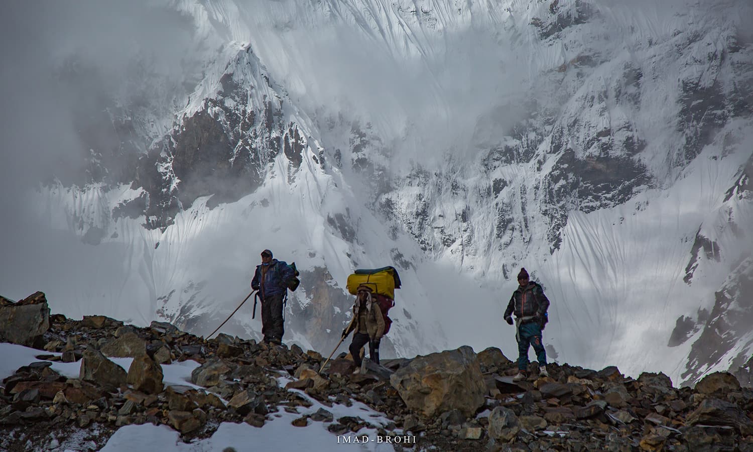
The true heroes of Karakoram. Trekking or climbing would not be possible without their efforts.
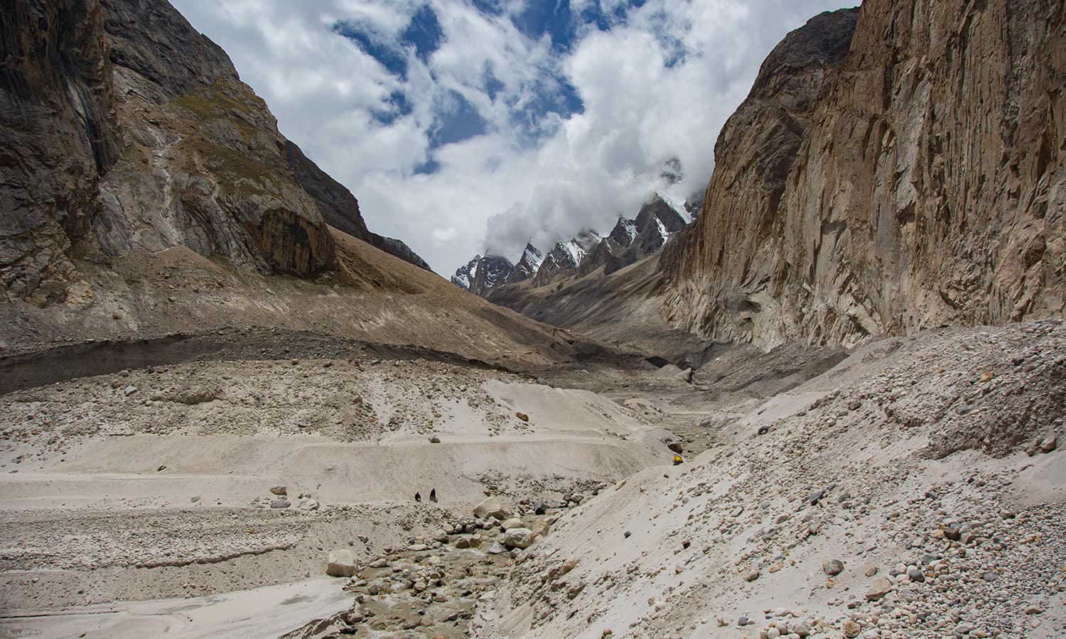
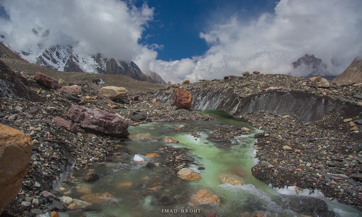
The stream crossing before Khoburshe.
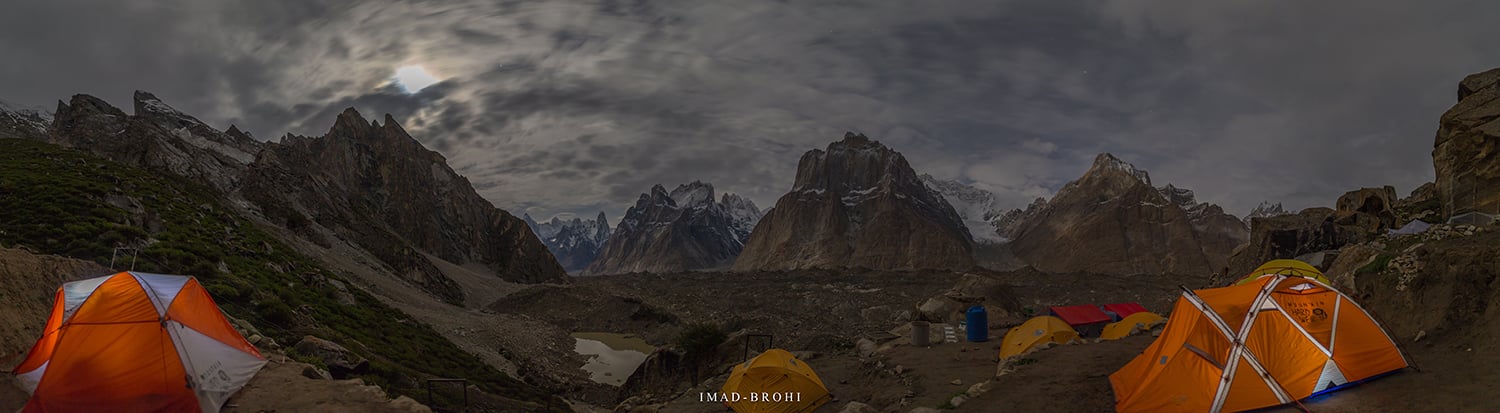
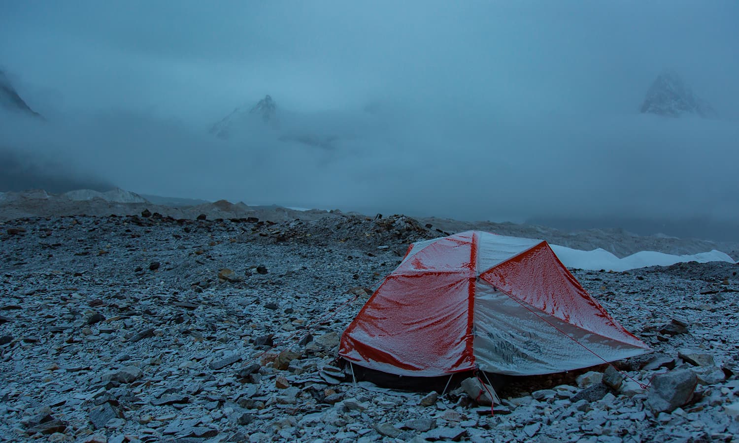
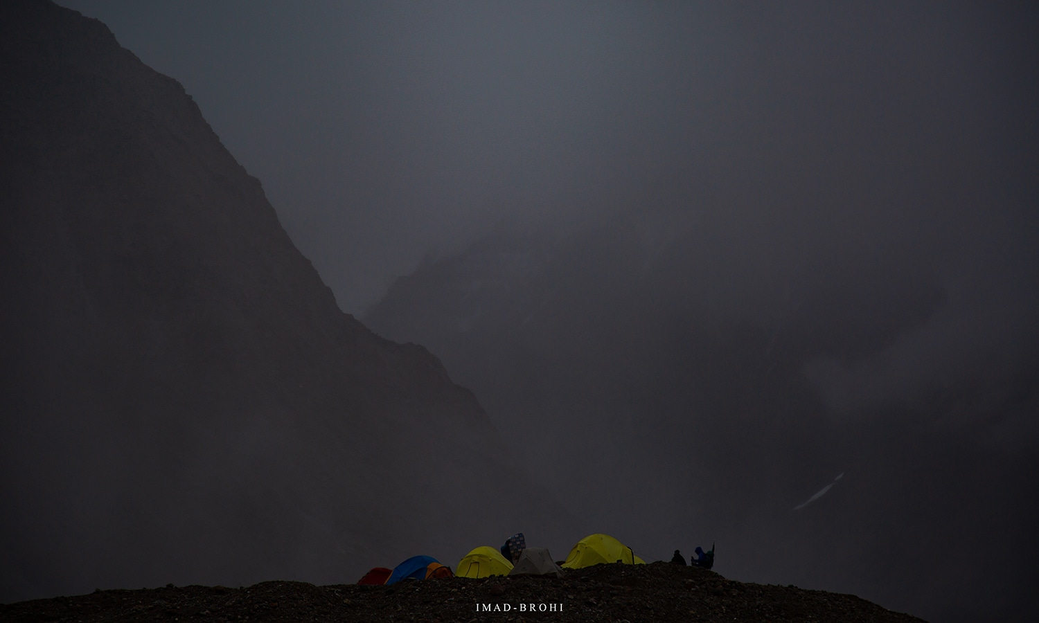
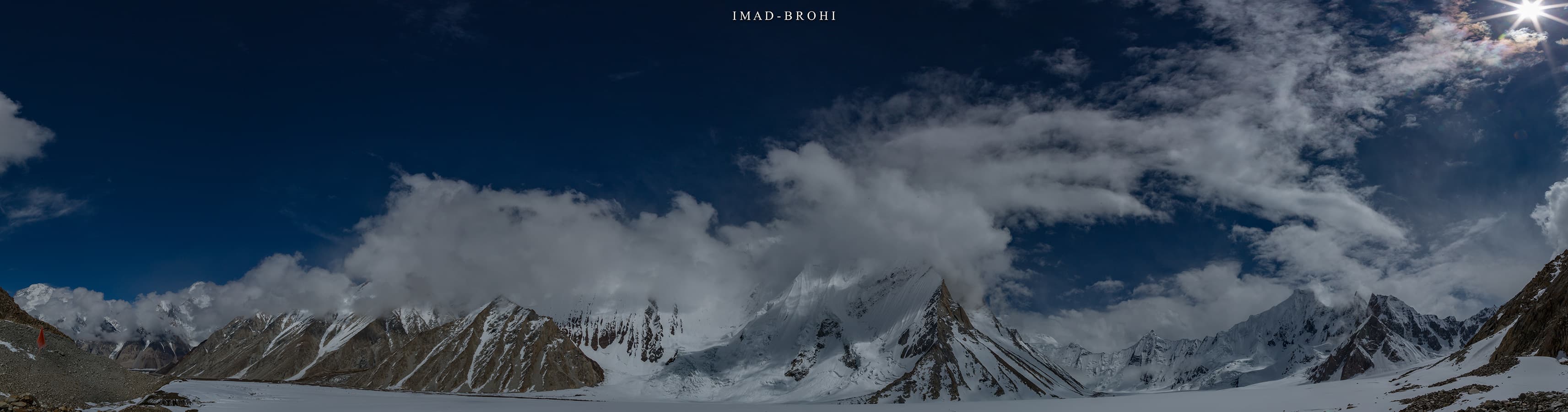
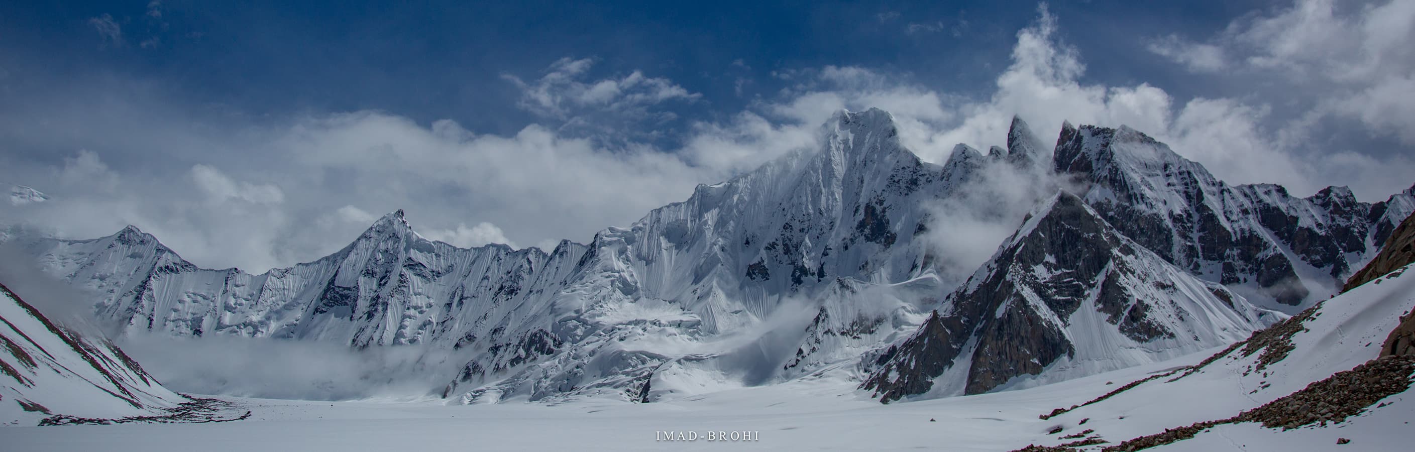
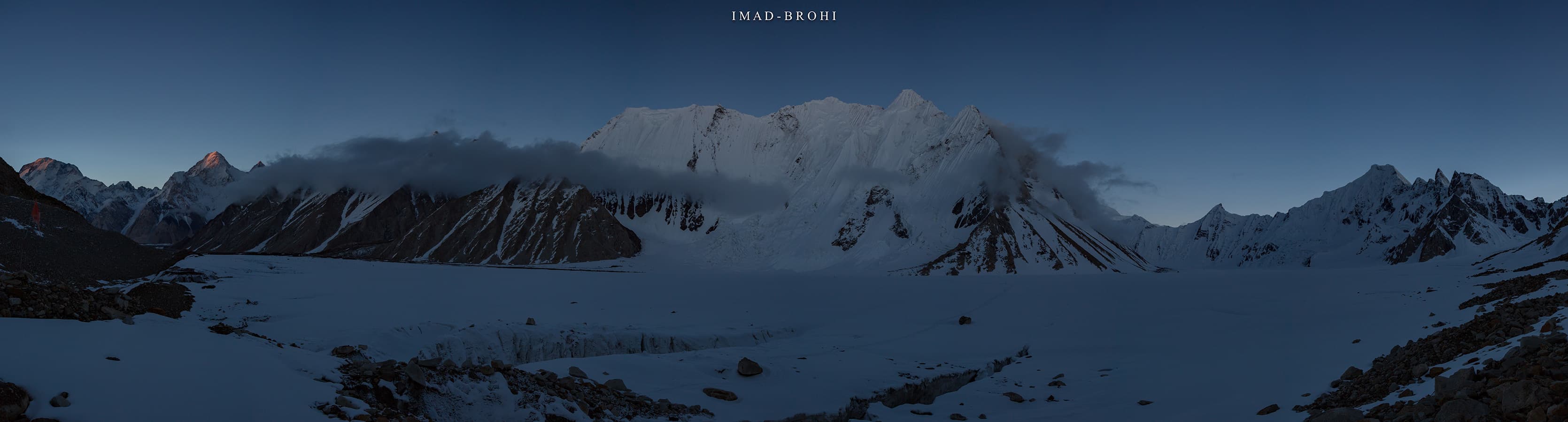
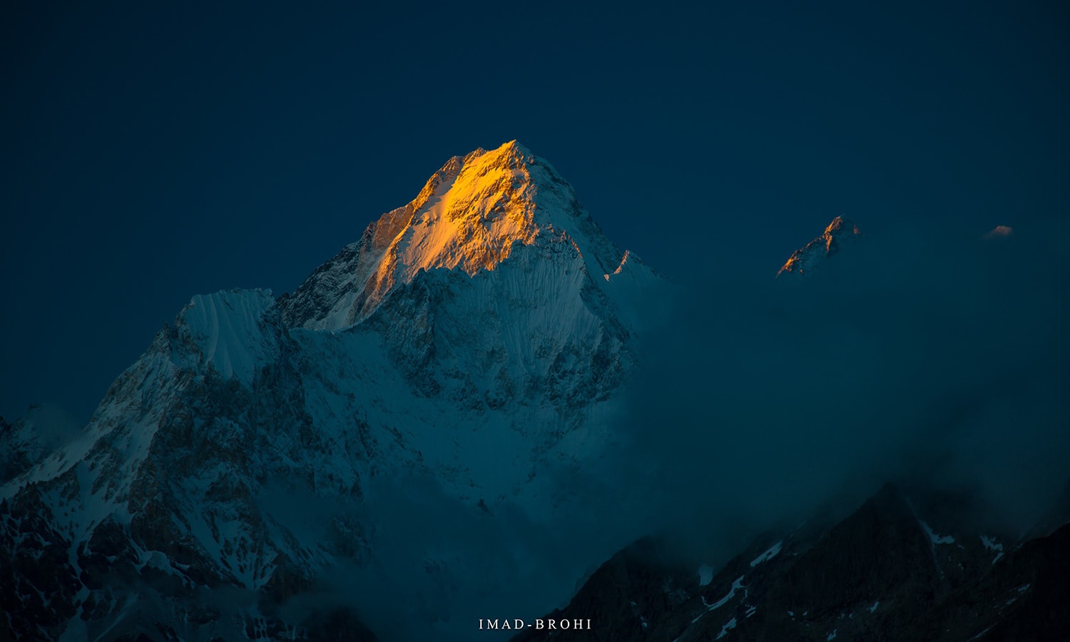
Panoramic view from Urdukas at night.
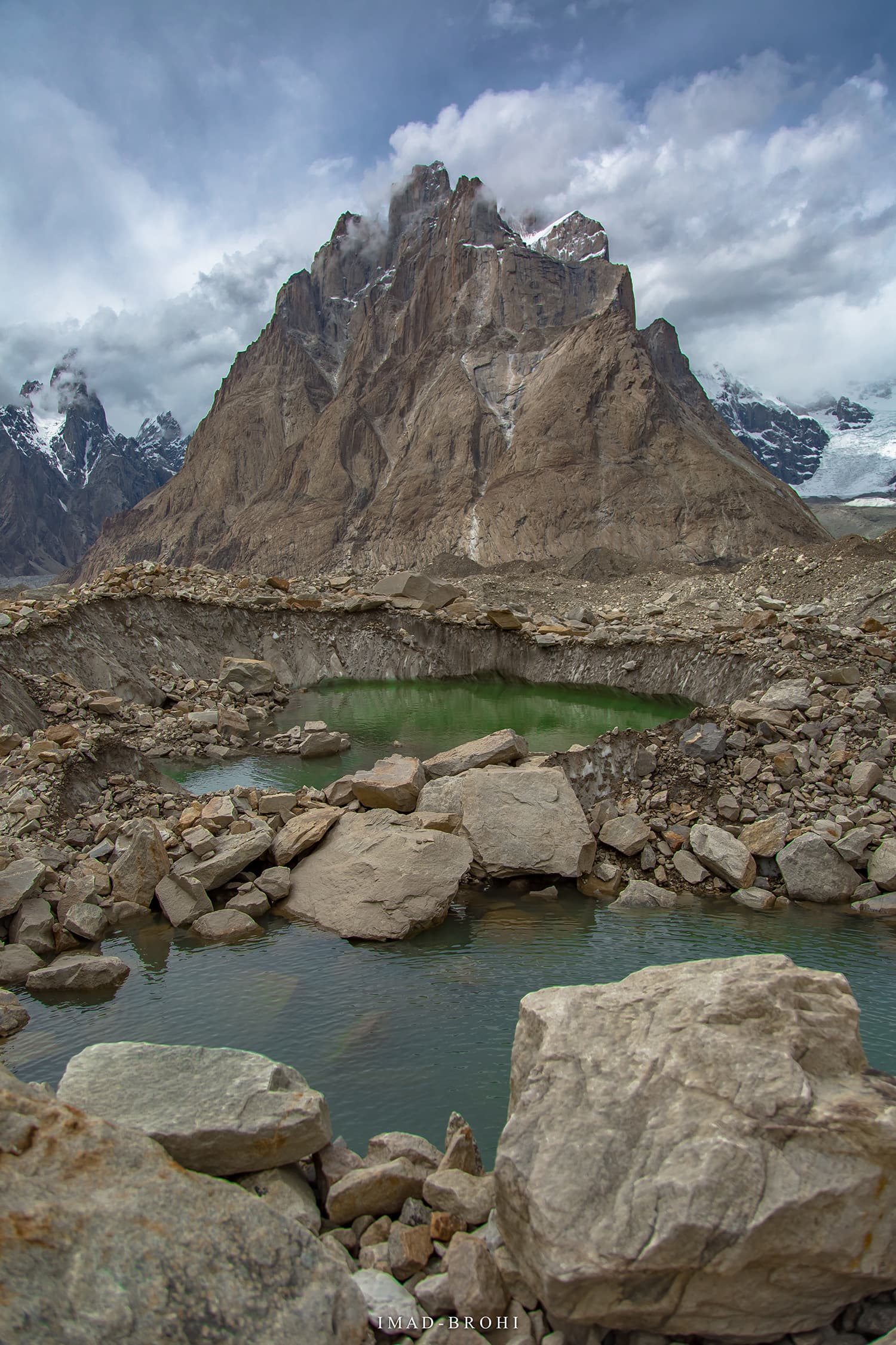
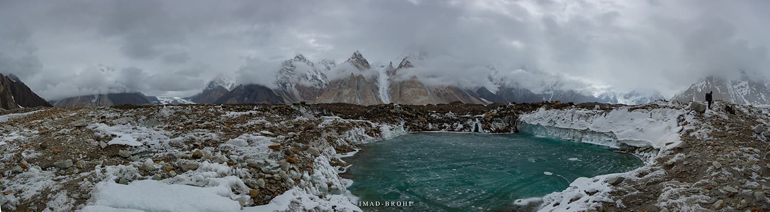
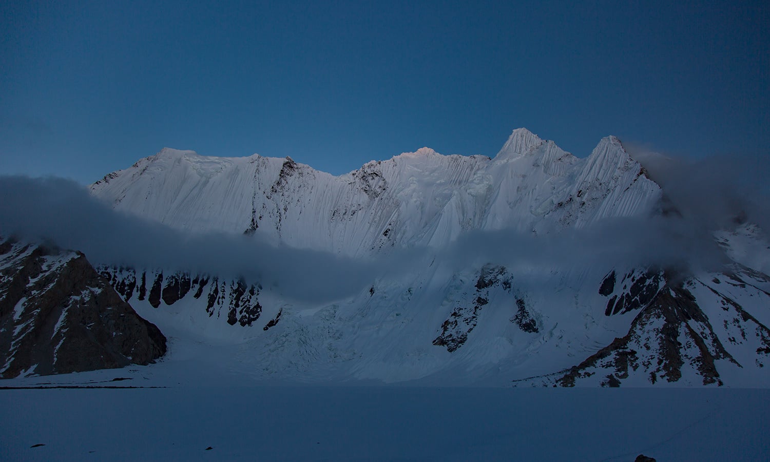
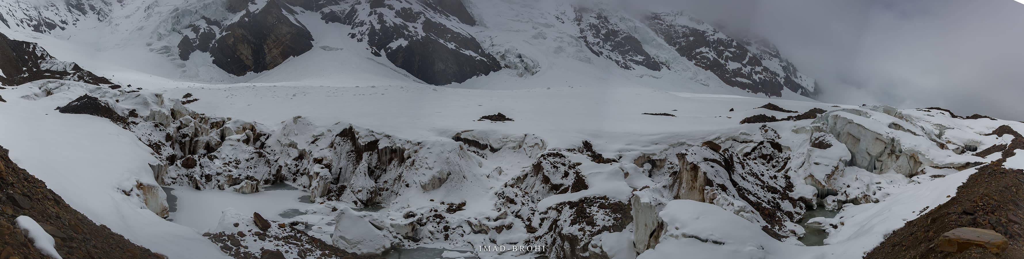
A glacial pond in front of Great Trango.
One could only wonder what forces caused such massive mountains to form, each unique in its own way. I also experienced Liligo Glacier intimately.
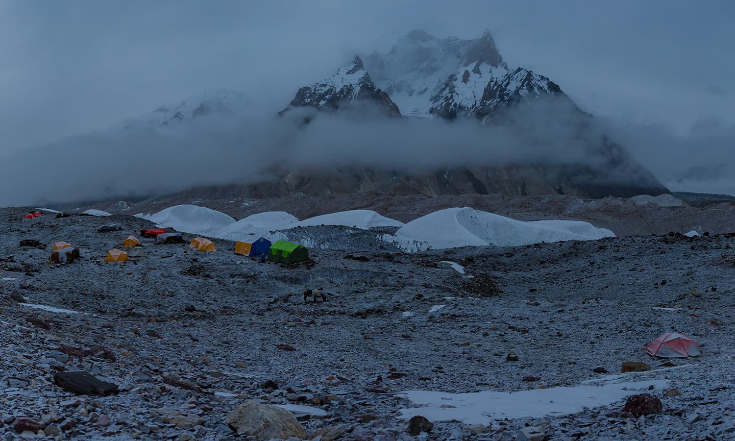
Along the route were two smaller camps: Liligo ( which doesn't get water until July) and Khoburshe (where I stayed in 2016).
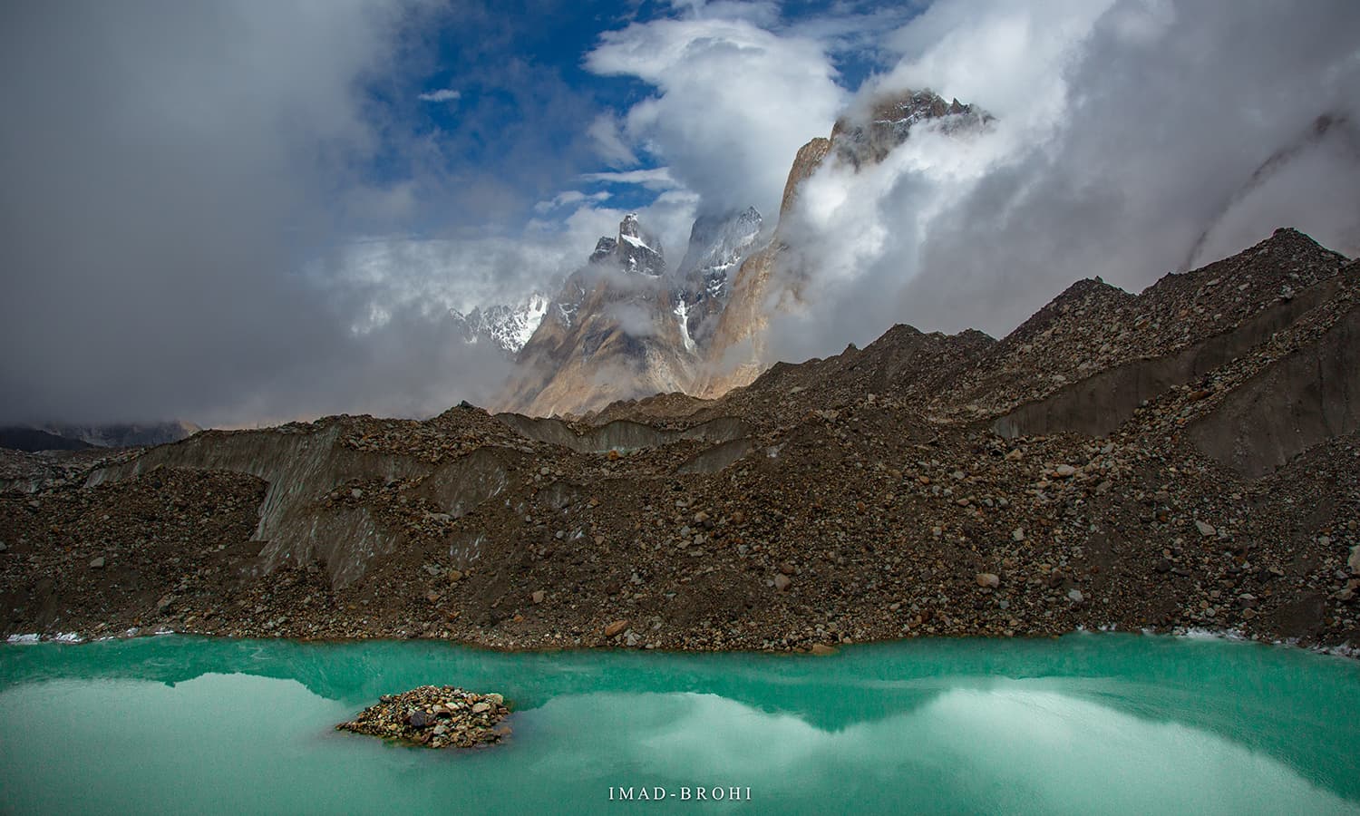
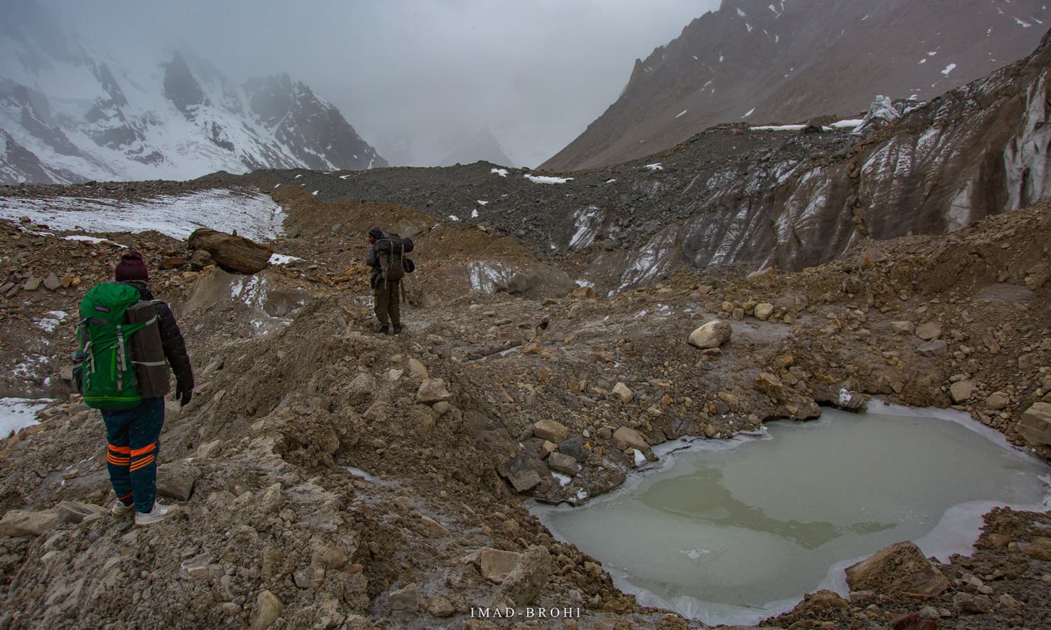
A glacial lake had formed just before Khoburshe, which seemed smaller this year than in 2016, an example of how these glaciers are constantly changing.
There was a tricky stream to cross before Khoburshe. From there, Urdukas was another 6km, but there was a section of big boulders to cross and a climb that made it very tiring.
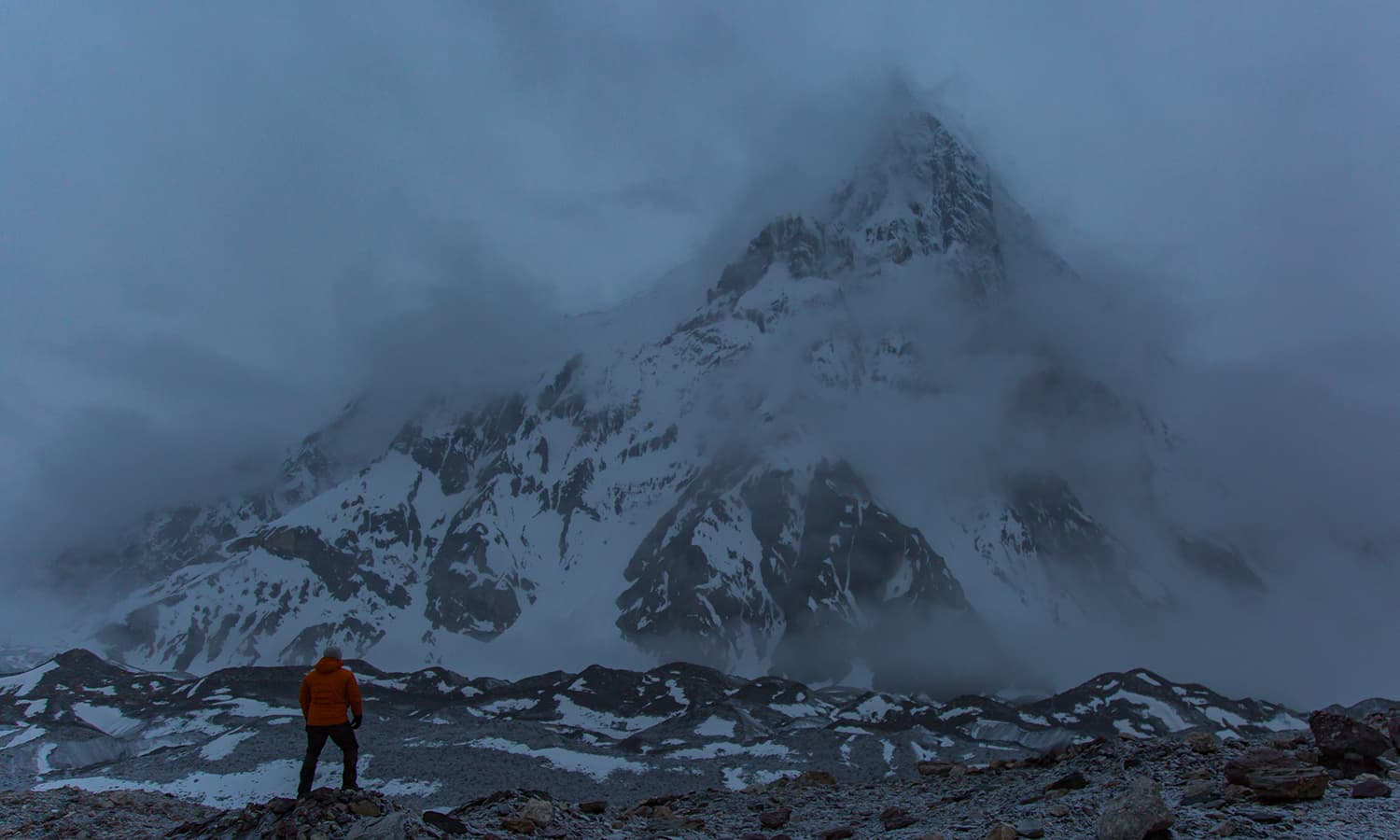
Urdukas is located off the glacier on a hill and had great views of Uli Biaho, Trango Group and Thunmo Cathedral.
Imad BrohiUpdated 3 days ago
In June this year, I returned to Baltoro/Concordia region of the Karakoram range, home to four of the 14 8,000 metre peaks in the world.
On my last trip in 2016, I visited the K2 and Broad Peak Base Camps and returned from the same route via Askole.
But this time I planned to cross the elusive Gondogoro La and return via Hushe Valley, completing a circular trek.
I had heard so many stories about Gondogoro La and it was time to experience it for myself.
What is Gondogoro La?
La in Balti means mountain pass, ridge or a low point between two mountains, allowing access through a relatively lower point.
Gondogoro La connects Baltoro region with Hushe Valley, home to the exquisite Laila Peak (6,096m) and some small villages like Hushe and Kanday.
However, the pass is very steep and crossing it requires the use of fixed ropes to ascend and descend. So in a way, this is beyond conventional trekking.
Leaving Skardu.—All photos by author
Passing the town of Shigar, 45 minutes from Skardu.
You know you have reached Askole when all of a sudden, the barren route turns green. Askole is a small farming community and doorstep to the giants of Karakoram.
At the beginning of every season, a rescue team from Hushe village takes up the task of fixing these ropes, maintaining them through the trekking season and removing them at the end of the season in late August.
They establish their presence on each side of the pass — Ali Camp on the Baltoro side and Khuspang on the Hushe side — and charge a nominal fee from trekkers crossing the pass for their services, which is a fair deal.
To cross this pass at any other time of the year, teams would require services of High Altitude Porters (HAPs) who would fix these lines allowing them to make the crossing.
Planning the trip
I started planning a few months before the trip.
I had been to Baltoro before, so I knew what to expect — but my biggest question was when the ropes would get fixed.
I was hoping to reach Ali Camp on June 23 and be ready for the crossing. But if the ropes were not fixed by then, there was no point in making the trip.
I contacted nearly half a dozen trekking companies to find out. While some assured that the ropes should be fixed by then, others were skeptical.
Uzun Brakk (6,375m) that lies on Biafo Glacier can be viewed near Khorofon, midway between Askole and Jhola. Route to Snow Lake turns north from here towards Biafo Glacier.
The valley opens up and the flow of Braldu River slows down before Jhola.
Guide Fida Mohammad poses at a trail cut through mountain rock.
A crow steals my snack at Jhola.
The answer finally came from Manzoor Ahmed of Karakoram Tours Pakistan who informed me that the rescue team had met in Hushe and planned to fix the ropes immediately after Eid (mid-June).
Ahmed had a climbing expedition headed over to Broad Peak on a similar date and offered me to join them until Concordia, after which I would separate from the group and head over to Ali Camp and make the crossing with a smaller team, including a guide and a few porters.
It seemed a good deal to me — a smaller group had higher chances of crossing the pass than a larger one.
Islamabad, Skardu, Askole and Jhola
Bakhordas, Latok Group
Most local or international expedition teams intending to visit the Karakoram in Pakistan begin by arriving in Islamabad.
The second stop is Skardu, where I stayed at the Pakistan Tourism Development Corporation’s K2 Motel and met the Broad Peak expedition team.
The motel was hustling with many international climbing and trekking expedition teams. On June 16, we made the scenic but tiring 125km road trip from Skardu to Askole that takes more than five hours due to difficult terrain.
First views of the Trango Group. The highest summit is 6,286m and these granite spires present one of the most challenging climbs in the world.
The jagged peak of Bakhordas (5,809m).
Payu Peak (6,610m).
Views of the giants from Payu: Trango and Cathedral groups.
The snout of Baltoro Glacier just before we step on it. The glacier feeds the Braldu River.
After a night in Askole, we began trekking to our first destination, Jhola, a distance of 18km.
It was a nice trek with varying views and proper trail for the most part on the first day.
My favourite place was a few kilometres before Jhola camp, where the trail cut through mountain rock.
There were also some interesting bridges to cross on this day. From Jhola camp, one could enjoy the view of Bakhordas mountain (5,809m) just across the river.
Trek to Payu
Payu Peak
Payu was the second destination of the trek. This day, for the most part, featured an uneven trail and some streams and just before Payu was an extremely tiring rocky patch.
Payu Peak became visible as we neared the camp and in the far distance were the first views of the Trango Towers, a set of three near-vertical rock towers, and Cathedral Peak, also known as Passu Cones. Trek distance was roughly 20km.
A rest day at Payu was much needed and important for acclimatisation, as we were now at 3,400m.
That day, Ahmed called me on the team's satellite phone to let me know that ropes had been fixed on Gondogoro La.
Everything seemed in place.
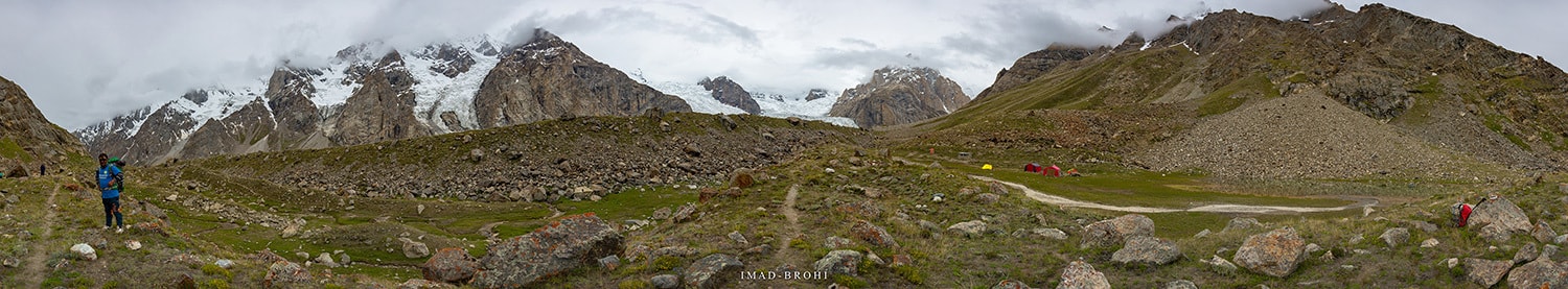
Trek to Urdukas
Baltoro Glacier, Trango Group, Cathedral Group and Liligo Glacier
After Payu was where the real fun began.
I finally stepped on the mighty Baltoro Glacier. At more than 60km long, it is one of the longest glaciers in the world outside the polar regions. It is also the source of Braldu River that connects with Shigar River.
Our destination was Urdukas, some 20km from Payu. Few kilometres on the glacier and the views of the Trango and Cathedral Groups improved greatly.
summit rocks of Trango Group.
Summit rocks of Cathedral Group.
The true heroes of Karakoram. Trekking or climbing would not be possible without their efforts.
The stream crossing before Khoburshe.
Panoramic view from Urdukas at night.
A glacial pond in front of Great Trango.
One could only wonder what forces caused such massive mountains to form, each unique in its own way. I also experienced Liligo Glacier intimately.
Along the route were two smaller camps: Liligo ( which doesn't get water until July) and Khoburshe (where I stayed in 2016).
A glacial lake had formed just before Khoburshe, which seemed smaller this year than in 2016, an example of how these glaciers are constantly changing.
There was a tricky stream to cross before Khoburshe. From there, Urdukas was another 6km, but there was a section of big boulders to cross and a climb that made it very tiring.
Urdukas is located off the glacier on a hill and had great views of Uli Biaho, Trango Group and Thunmo Cathedral.