What's new

India, China ramp up infra on north bank of Pangong Tso lake

NG Missile Vessels

FULL MEMBER
Joined
Apr 9, 2023
Messages
1,600
Reaction score
0
Country
India
Location
India
1688387910024.png

After the violent Galwan clash between Indian and Chinese forces at the Pangong Tso which lies in eastern Ladakh and western Tibet — China is ramping up its military infrastructure, including new bridges. While China is rushing to complete a bridge across the Pangong Tso, connecting the north and south banks, India is also building a black-topped road on its side on the north bank.

A critical look at the military infrastructure along the Line of Actual Control (LAC) in 2020 pushes the Indian establishment to ramp up its infrastructure on a war footing.

What was needed is to build roads, tracks, bridges, military garrisons, habitats and shelters for troops in areas unoccupied earlier. The urgency was acute as the Indian army planned to position multiple divisions of more than 50000 troops along the LAC.

China broke the status quo, bringing its military towards the contested patrolling points at LAC which prompted India to recalibrate its strategy against Chinese aggression.
1688388156221.png

In response, among the high-priority projects, India is building a road towards Finger 4 on its side. At LAC, India has been commanding till Finger 4 which extended to Finger 8. In 2020, Chinese troops unilaterally broke the sanctity which led to the Galwan clashes.

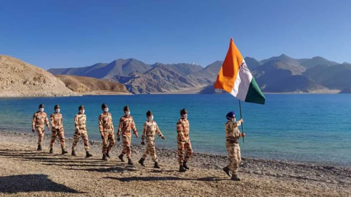
The area that is broadly marked as the north bank of Pangong Tso stretches along 135 km in various dimensions. Pangong Lake, situated at a height of almost 4,350m, is the world’s highest saltwater lake with around 45 kilometers on the Indian side of the LAC.

While the construction is underway, the project is deemed as complex engineering over the treacherous mountain, capable of carrying military equipment. According to the official, the blacktopped road leading to Finger 4 will add the Indian army as an alternative for the Darbuk-Skyok-Daulat Beg Oldie Road through the Saser La.
1688388184675.png

The construction will link Sassoma along the Nubra river to Sasser La and Gapshan, further connecting the main 255-km long Durbuk-Shyok-DBO road along the LAC.

In a report by The Hindu, an official source was quoted as saying that the "construction of a black-topped road towards Finger 4 on our side is on and is expected to be completed by 2025".

"There is a major impetus on infrastructure, road networks, advanced landing grounds and so on," the source added. While speaking to the outlet on the condition of anonymity, the source said that the construction work is at an advanced stage on the alternate axis to the critical Darbuk-Skyok-Daulat Beg Oldie road through the Saser La.

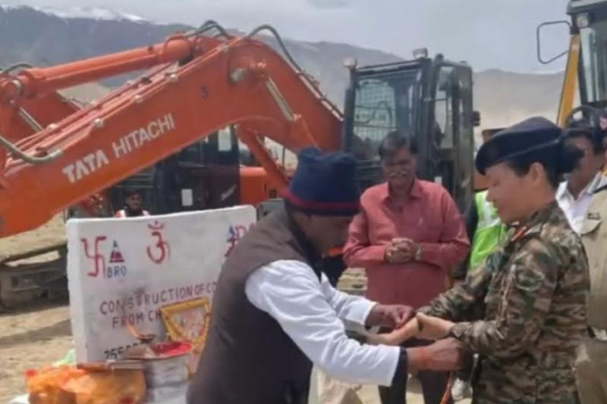
Indian defence entity, the Border Road Organization (BRO) is leading such strategic infra build-up along the LAC. The BRO is working on connecting the last mile in the eastern sector such as the Sela, Nechipu, and Sela-Chhabrela tunnels among other strategic passes.

So far, the BRO has completed 19 infrastructure projects in 2021 and 26 in 2022 in Ladakh alone and expects to complete 54 projects this year, as per the official data.

Recent satellite images
In a report by ChathamHouse, which was published last month, it was mentioned that satellite images taken in the six months from October 2022 show a region increasingly in a state of flux. The report mentioned that an established Chinese presence can be seen in the area where once there were just a few People's Liberation Army (PLA).

The report added that in that particular region, China has built an extensive set of installations, establishing an ecosystem to support its deployments of PLA troops. The satellite images also showed the expansion of roads, outposts and modern weatherproof camps. They have the facility of parking areas, solar panels and even helipads.
1688387504102.png

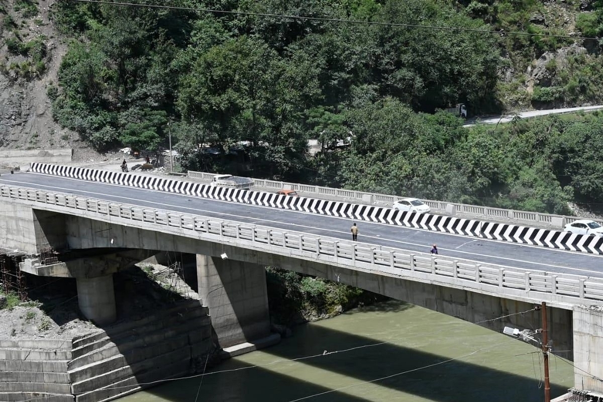
Last month, India's Border Roads Organisation (BRO) claimed that its personnel restored connectivity along the damaged Ditte Dime-Migging Road in the Upper Siang district of Arunachal Pradesh within a record 72 hours.

Border Roads Task Force (BRTF) commanding officer O Taki said that despite heavy rain, the BRO personnel completed road diversion and opened the road for all types of traffic on June 23.
1688387677800.png

Overall, India has responded well to the Chinese infrastructure work with several crucial projects as the report mentioned that the nation's Northern Command has deployed blocking forces that match the Chinese activity and will prevent any further incursion.

Notably, the ChathamHouse report mentioned that the Indian Army has also occupied the peaks of several mountains resulting in Chinese withdrawals from sensitive locations, most of them around Pangong Tso.
 
India Begins Work on Strategic Road to Right Side of Pangong Lake Near LAC
1688388426809.png

India has started the process to build a strategic road towards the right side of the Pangong Lake near the LAC to improve its connectivity to the Army posts near Finger 1 and 2 areas of the lake.

The new 38-km road from Lukung to Chartse, besides offering connectivity to the right side of the Pangong Lake, could also shorten the distance to the contentious Hot Springs area where India and China are engaged in a stand-off since 2020.

News18 has exclusively accessed a bid document of the Border Roads Organisation (BRO) issued on June 8, which asks for work to begin on the 38-km long Lukung-Chartse road at the cost of Rs 154 crore with a completion period of 30 months.
1688388475302.png

“The alignment is a greenfield alignment. An existing ‘kacha’ track may be found along the alignment. Therefore, no carriageway exists along the alignment," the document says. The road will come up as a highway as per NHAI standards, enabling the movement of heavy vehicles with troops and equipment.

Lukung is a village near the western end of the Pangong Lake. Chartse is located near Finger 1 on the right side of Pangong Lake where India has a security post and forces are deployed.

Once this road is ready, it will reduce the distance time by one-third to reach these forward areas. A retired officer said it takes over one-and-a-half-hours to reach Chartse from Lukung but the same could reduce to just 30 minutes once the road is ready.

This highly strategic project could also reduce the overall distance to the Hot Springs area, a major friction point between India and China since 2020 where a stand-off continues though some disengagement took place last year.

“The take-off point is at km 0.000 Lukung of Lukung-Chartse road of UT of Ladakh and ends at km 37.398. The project alignment is approachable from Lukung side through Tangtse-Lukung road for execution of work," the bid document mentions.

The government in 2020 had waived the requirement of environmental clearance for such strategic projects near the LAC.

“There is an ongoing military stand-off at Line of Actual control (LAC) between India and China, which can escalate at any point of time, if remain unresolved. Hence, the construction of these roads is of upmost priority without any undue delay," the document mentions, referring to such projects.

More Strategic Projects on Anvil
News18 had spoken to the Director General of Border Roads Organisation, Rajeev Chaudhry, two days ago where he had said that Nyoma airfield will be the highest airfield in the world, which will start soon. The Nyoma airfield in Ladakh will be capable of fighter aircraft and was an answer to China’s infrastructure work.

Replying to a question about the important projects, which are underway in Ladakh, Rajeev Chaudhry said, “We are starting Nyoma Airfield very soon which is going to be the highest airfield in the world."

Director General BRO further told News18 that the Chushul-Demchok road along the LAC is also of prime importance to them. “The most important project is the Chushul-Dungti-Fukche-Demchok road which is a 145 km-long road along the LAC, 15 KM its hugging LAC. Strategically, this is a very important road," Rajeev Chaudhry said.

@Raj-Hindustani @Skull and Bones @CallSignMaverick @protean @indushek @INDIAPOSITIVE
 
Construction of militarily-strategic Chushul-Demchok road begins in Ladakh
1688389024163.png

Work on the militarily-strategic Chusul-Dungti-Fukche-Demchok Road started with focus on rapid construction of road network along the Line of Actual Control (LAC) with China in eastern Ladakh.

The Border Roads Organisation (BRO) shared pictures of a ground-breaking ceremony held to launch the project on social media.

The construction of the nearly 135-km long road will ensure smooth movement of troops towards the LAC.

The project being executed by BRO’s Project Himank is led by Colonel Ponung Doming. The first woman officer was deputed as Task Force Commander above 15,000 ft. The project is one of the strategically-important roads being constructed by BRO.

It is worth mentioning here that the Demchok sector is situated near the confluence of the Charding Nullah and Indus River. Chushul in the Leh district of Ladakh is located in the Durbuk tehsil south of the Pangong Lake and west of the Spanggur Lake. The LAC with China runs about 5 kms east of Chushul, across the Chushul Valley.

Colonel Ponung Doming is from Passighat in Arunachal Pradesh’s East Siang district. She has become the pride of her state as the first woman officer in the country to command the Border Roads Task Force (BRTF) at a height of 15,000 feet, the highest border roads outpost in the world.

@etylo
 
you've been struggling against small poor Pakistan
India has ramped up strategic infra along Pakistan border too


India is no match for China
Yeah sure...
Screenshot_20230701-144714_Chrome.jpg


Last edited:
India is no match for China, you've been struggling against small poor Pakistan

Not the case, take the example that Pakistan is struggling with Afghanistan and many soldiers being killed..

Chian vs India
India vs pakistan

The situation in both cases is the same,

China has no position to win over India, it will just be an invite disaster in the Asia region if they do something silly.
Chinese media admitted that their initial tank deployment of tanks near Pangong Lake area in 2020 failed. They had to bring units from far off areas to match Indian firepower
IMG-20230528-WA0011.jpg
 
Speaking of infra construction, China beats the rest of the world combined hands down.
 

Pakistan Affairs Latest Posts

Back
Top Bottom