Juggernaut_Flat_Plane_V8
BANNED

- Joined
- Aug 19, 2017
- Messages
- 3,309
- Reaction score
- -7
- Country

- Location

Let's see it in a way people would understand
Babylonian World Map ca. 600 BCE: (No Mention of Indus or hte big continents only focussing on the Fertile Crescent)
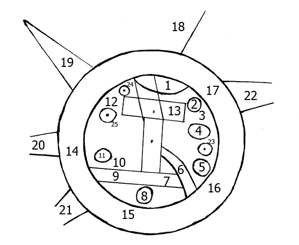
Map of Anaximander ca. 550 BC: (Shows Asia but not much else for our relevance)
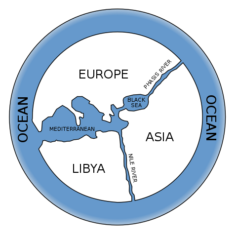
Map of Hecataeus of Miletus ca. 500 BCE identifies Indus Valley as India
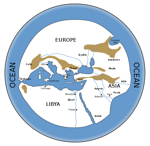
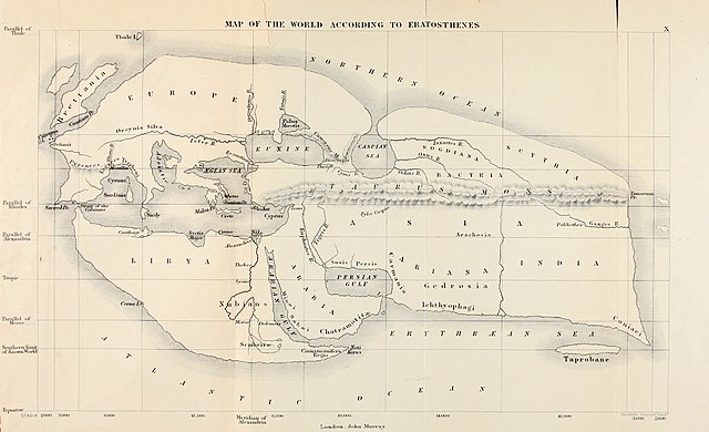
Eratosthenes ca. 200 BCE (Shows Entire subcontinent as India)
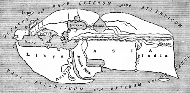
Posidonious ca.100 BCE (fails to show either Indus or Indus Valley or India or fails to name them properly)
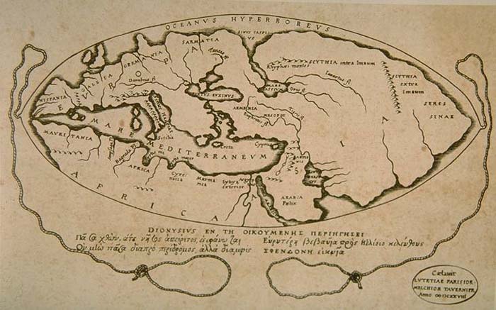
Strabo roughly 1 AD: (Shows entire subcontinent as India)
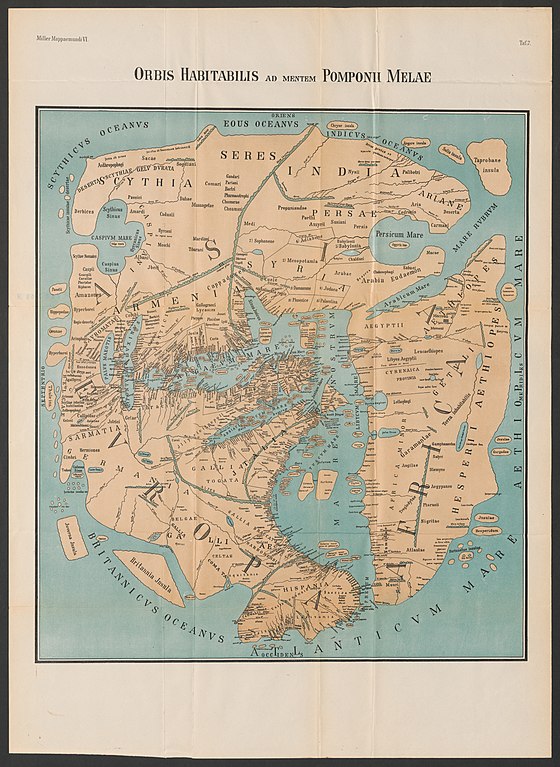
Pomponius Mela ca.40 AD: (Debatable but I would say he shows entire subcontinent as India)
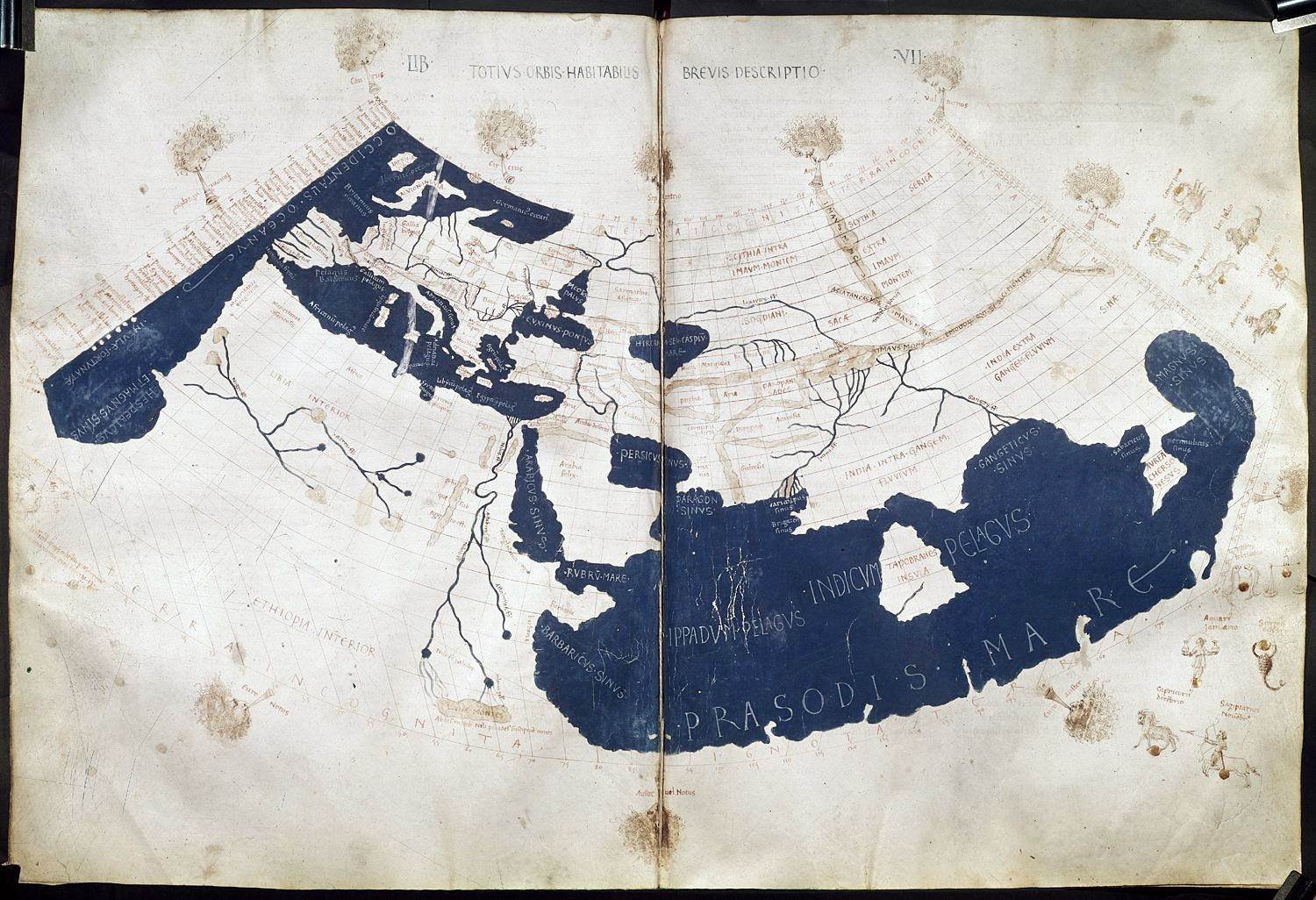
Ptolemy's world Map: (shows Two Indias..One between Indus River and Ganges and another East of Ganges)
Tabula Peutingeriana ca.300 AD : (basically a road network map of Roman Empire still tries to squeeze contemporary knowledge of the world...The Word India extends till south and the sea opening of Rive Ganges)

I rest my case.. Ertosthenes onwards, India has meant the whole of subcontinental landmass ....that's 2,200 years
More than the history of even Christianity
I have deliberately not included the higher resilution images as that may crash many computers..You are encouraged to find the higher resolutions on wikicommons, if in doubt
@Indus Pakistan
Babylonian World Map ca. 600 BCE: (No Mention of Indus or hte big continents only focussing on the Fertile Crescent)
Map of Anaximander ca. 550 BC: (Shows Asia but not much else for our relevance)
Map of Hecataeus of Miletus ca. 500 BCE identifies Indus Valley as India
Eratosthenes ca. 200 BCE (Shows Entire subcontinent as India)
Posidonious ca.100 BCE (fails to show either Indus or Indus Valley or India or fails to name them properly)
Strabo roughly 1 AD: (Shows entire subcontinent as India)
Pomponius Mela ca.40 AD: (Debatable but I would say he shows entire subcontinent as India)
Ptolemy's world Map: (shows Two Indias..One between Indus River and Ganges and another East of Ganges)
Tabula Peutingeriana ca.300 AD : (basically a road network map of Roman Empire still tries to squeeze contemporary knowledge of the world...The Word India extends till south and the sea opening of Rive Ganges)
I rest my case.. Ertosthenes onwards, India has meant the whole of subcontinental landmass ....that's 2,200 years
More than the history of even Christianity
I have deliberately not included the higher resilution images as that may crash many computers..You are encouraged to find the higher resolutions on wikicommons, if in doubt
@Indus Pakistan