The link I posted clearly said smooth approximations are used in lieu of minimization since threshold, or reference pictures are available.
lol you do know that mean the result is shit, right? I mean, if they actually have a result.
You missed the fine print. The link clearly says:
The analysis is independent of number plate reading.
http://www.eyedea.cz/make-and-model-recognition/
Then explain to me why when I put a Lancer EVO X in GB Plate
It generate a result, but when I put the same car in same color in Australian Plate
It then said it cannot be found?
Mind you, the GB result it generate is NOT AT ALL ACCURATE
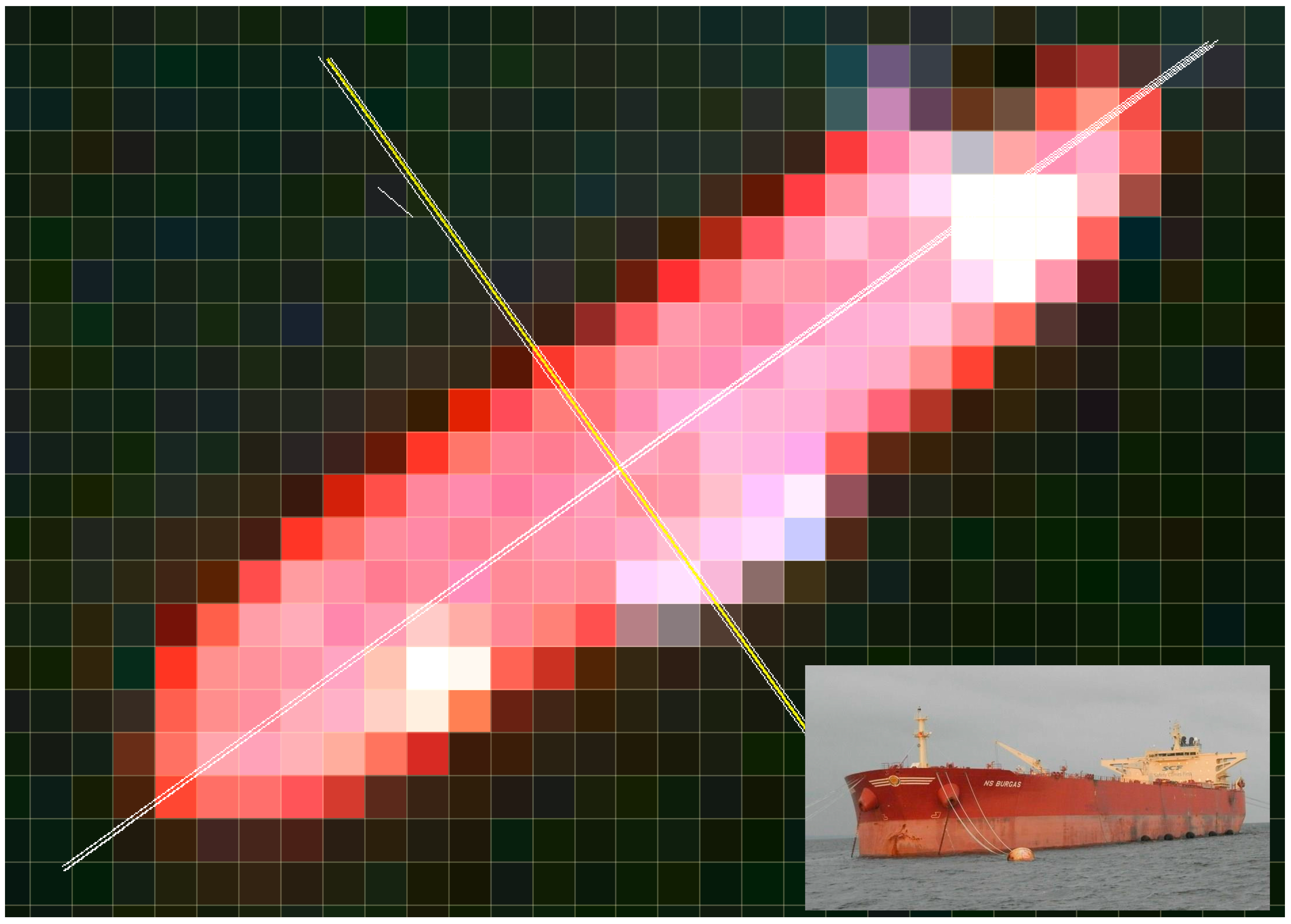
Does this look like a Kia to you??
Just because it said it is independent from reading the license does not mean they don't, just that they say they aren't, otherwise, they would have pick up both car (the same make, model, year and color)
I will let you be the judge
The report only speaks of geometrical match, but it is unnecessary. You need data to expand on the report, which is easy enough when you are a military because only funds are the limitation.
You have confused the limitations of the report to limitations of technology. A satellite can take a million pictures from a million different angles. There is no limit.
You have yet to demonstrate that such technology exist now.
Even if a satellite can take millions picture of a subject in million different angle, it does not change the fact that it cannot process result in real time.
The carrier dimensions are known. There is no ship in the world that has a beam that's more than 60m.
When you have a million rotations to compare with, your task gets easier. After all, there are only less than 12 supercarriers. Not to mention, you can watch the carriers constantly even during peacetime, which is determined by financial limits, something the Russians and Chinese do not have.
Although we have not considered this in the discussion at all, realistically think about it. There are only 12 carriers. You can assign 12 guys per shift to watch the carriers 24/7. As far as the Chinese are concerned, the ones in the Pacific are the most important. The only limitations are time on target and weather (for optical satellites).
umm......what about MV Blue Marlin (Beam 63.2 meters)??
https://en.wikipedia.org/wiki/MV_Blue_Marlin
How about Dockwise Vanguard (Beat 79 meters)
https://en.wikipedia.org/wiki/Dockwise_Vanguard
A few cargo ship can have beam over 73 meters, here are the brochure
http://maritime-connector.com/wiki/ship-sizes/
A few ULCC and SLCC crude carrier is actually larger than an Aircraft Carrier with beam over 68 meters
https://en.wikipedia.org/wiki/TI-class_supertanker
Do you want me to continue?
Again, just because you said so, does not make it true...
and am I hearing this right? (Since there are 12 US Carrier in the world, then we only need 12 person to watch it 24/7??
How about Sat coverage? Are you for sure SAT coverage can cover all 12 carrier 24/7? From my first hand knowledge, US have about 4 times as much Satellite than the Chinese, we cannot have a constant surveillance for a target for over 2 hours in a day, you do know Satellite will go out of range, right? Because Satellite will orbit the earth. Either the earth move you out of the orbit, or your satellite went off the orbit itself. Either way, you can dream of a 24/7 satellite surveillance for a single target, let alone 12 in different corner in the world.
The limitation is processing.
Here's a quote from the report:
The detector runs fast (in minutes for 16873 × 14684 pixels image) on a modern multi-core computer, thus enabling near real time application, i.e. one hour from image acquisition to end user
This uses processing from a COTS PC, not the same as the processing the military uses through their custom designed workstations and supercomputers.
Plus, the targets used are very small, less than 20m length, so that adds to the delay.
lol, that show you don't really know how this works.
The problem is how many task you can do with the information.
I can achieve little parity with little processing power, the more processing power only increase the quality of the recognition, but it will not speed up. Because it works on a matrix scale.
Instruction in this case is unchanged, you are looking at the same result (ie I want to track that aircraft carrier) The first thing you do is to local the UI, then compare it with the database, and then generate an outcome.
In the first part, the more UI will only give you more accurate detail, but in this case, let's put an arbitrary number in it, say 6, then if I get 6 UI and compare it, the end result will be the same as if you pick 200 UI and compare it. Just because you are taking 200 UI, that does not mean you cannot do the job with just 6.
The end result is the same, or nearly the same, because you can scale up and down the end result to suit the performance of your computer. That is the reason why the recent publication from China (With 2 fastest supercomputer) still say they are 30-45 minutes from doing ACR in 2017 which is not much of a change from that publication you listed on 2013.
It's like the old question, it take 2 minutes to boil an egg, how long does it take to boil 10 eggs?