Not true: In pangong tso, China claims & patrolled up to finger 4 and India to finger 8. Current buffer is between F4 to F8. And China used to patrol till F-4. They can no longer come there either
'The Chinese are retaining geostrategic pressure on India by keeping troops there and building infrastructure continually.'
www.google.com
In depsang, india is blocked from its patrol points 8km east of Y-junction while china blocked from its point 7km west of Y-junction.India's on paper LAC claim is 18km east of Y-junction in what is historically PLA controlled territory. Which is why Indian troops only asserted control up to 8km east of y-junction via patrols. Both deny each other access. If china had a upper hand it would have escalated in ladakh rather than withdrawing from pangong tso and continuing to be denied access to its patrol line near burtse in depsang.
Stobgais, who worked as a driver for the Indian Army in 2019-20, contested the Indian government's claim that the area has been restored to the pre-standoff period, before April 2020.
Instead, he said, New Delhi gave significant concessions to Beijing for reasons unknown to him by creating demilitarizing zones on its own territory.
"I used to pick up ration for the Indian Army from Karam Singh Hill, near the mouth of Kugrang, and drive 30 kilometers (18 miles) to PP-16, which was housing the Indian Army base camp," Stobgais said. "From there, I drove the Indian Army several times up to 11 kilometers to PP-15 towards Galwan Valley."
In 2011, the Indian border guards would patrol 8 kilometers further from PP-15 up to Alpha-3 pass towards the LAC, Stobgais added.
"Now, the whole Kugrang Valley has been surrendered," he said. "The biggest surprise is that the government allowed removal of barracks of Indian border guards at PP-16, which had been there since 1962, and moved back to Karam Singh Hill."
In an attempt to diffuse the crisis, both militaries carried out multiple rounds of talks, resulting in disengagement at all friction points in the region — including the north and south banks of the Pangong Lake, PP-14, PP-15 and PP-17A.
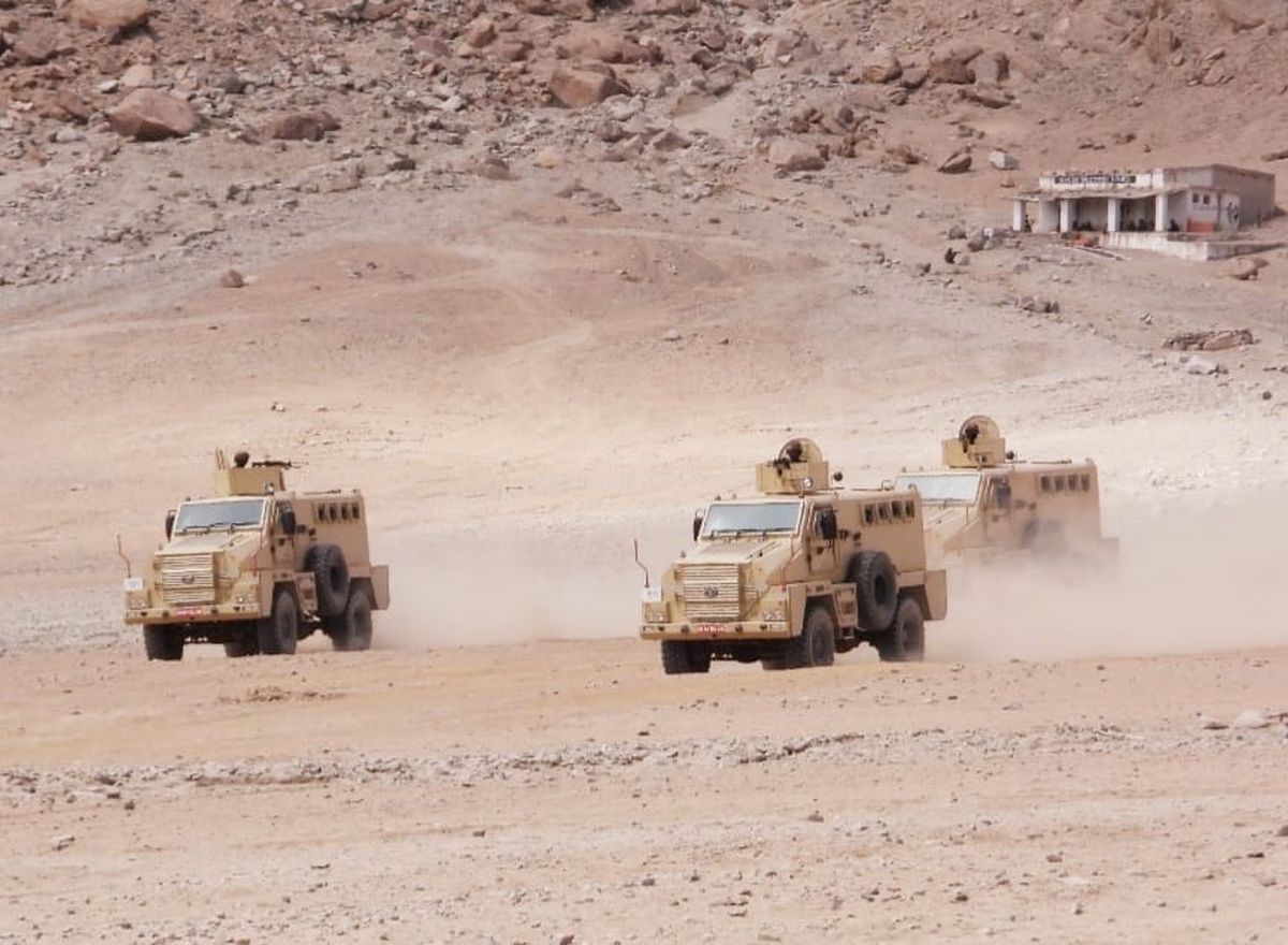
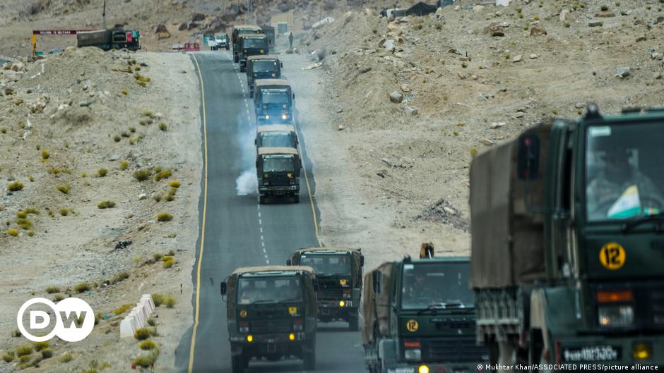
China's PLA continues to block Indian access to traditional patrolling along the LAC in the sprawling Depsang Plains, making India's Darbuk-Shyok-Daulat Beg Oldie (DSDBO) road vulnerable to attacks.
The 255-kilometer road runs through eastern Ladakh and connects India to its northernmost area, the Daulat Beg Oldie (DBO).
The DBO — which is at the base of the Karakoram Pass that separates China's Xinjiang Autonomous Region from Ladakh — has an advanced landing ground.
The DSDBO road provides India access to Tibet-Xinjiang highway and runs parallel to the LAC through Aksai Chin, which is the eastern part of Kashmir administered by China since the 1950s.
To the west of the DBO is Pakistan-administered Kashmir's Gilgit-Baltistan region, through which China is currently constructing the China-Pakistan Economic Corridor to connect to the deep sea port in Pakistan's Gwadar city.
Residents say the recent military disengagement from the disputed Ladakh area puts their livelihoods at risk. They accuse New Delhi of turning territory into a buffer zone to provide significant concessions to Beijing.

www.dw.com
Tashi Chhepal, a retired Indian army captain who served in Gogra-Hot Springs area around 1997, said that the areas now declared “buffer zones”, where neither Indian or Chinese troops will be positioned, had previously been patrolled by Indian troops.
“We would patrol these areas where Chinese posts are now located, leave aside the buffer zones, which are clearly in our territory,” said Chhepal. “Ideally, the Chinese should also have moved behind their patrolling area, but that does not seem to be the case.”
The idea of buffer zones is to disengage so that troops are not face to face with each other and problems do not occur,” said Deepender Singh Hooda, the Indian army’s former head of northern command, which also includes the Ladakh region. “For example, in some areas tanks were within 100 metres of each other.”
The negotiations appear to be part of efforts by the Modi government to defuse the tensions along the border in order to portray the idea that India has been successful in dealing with an increasingly hostile China.
Nevertheless, Hooda was among those who said India had still been unable to get China to withdraw from the most strategically important border regions, including the Depsang and Demchok areas of Ladakh “where the Chinese are preventing Indian troops from patrolling a very large number of places”.
Locals claim ‘buffer zones’ have been established in areas previously under Indian control

www.theguardian.com
I know you would post more tweets from absolute nobodies now.