What's new

Zorawar Singh Memorial in Tibet

MG_8029ab-1024x682.jpg


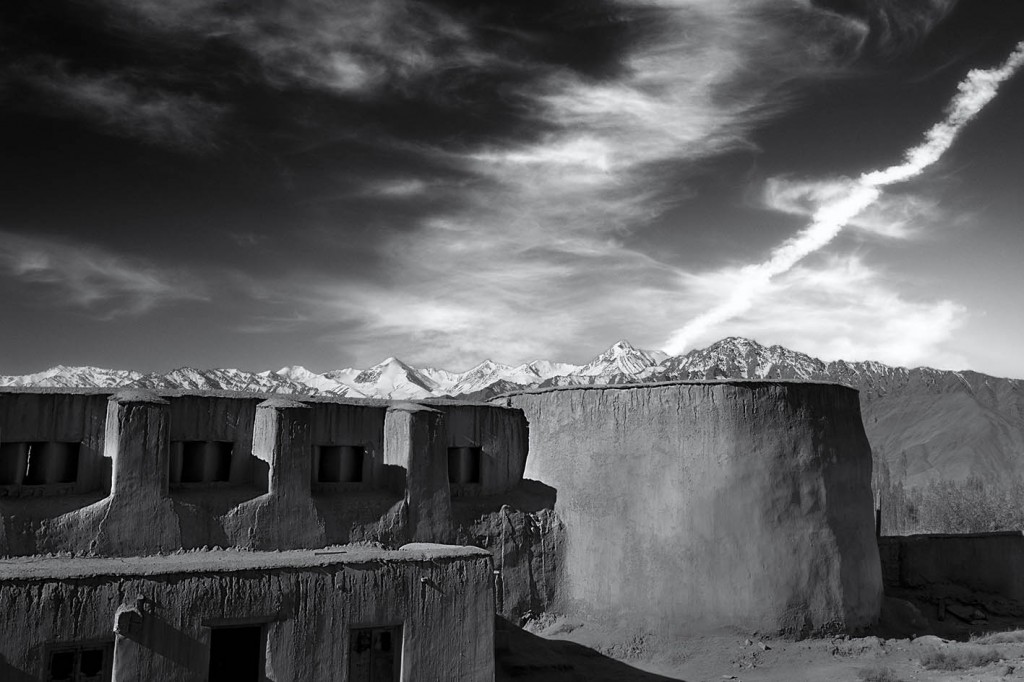
In October 1835, Zorawar returned to Kishtwar but on hearing reports of rebellion, he immediately turned back and this time took a shorter but more arduous route via Umasila pass at 17,300 feet into Zanskar and Leh, which he reached in ten days. An army crossing at these heights, especially in winter month of November, is one of it’s kind in the annals of world military history. Inclusion of Ladakh in Maharajah Ranjit Singh’s territory is of significant geo-political importance for the present day India. If not for the success of this expedition, with China’s conquest of Tibet in 1950, today it would be a part of China.

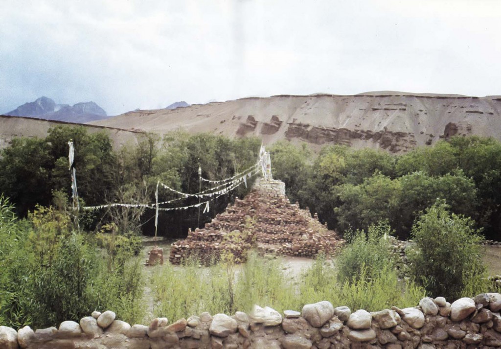
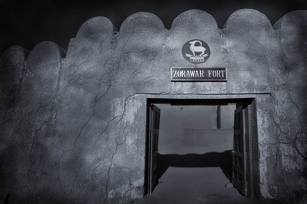
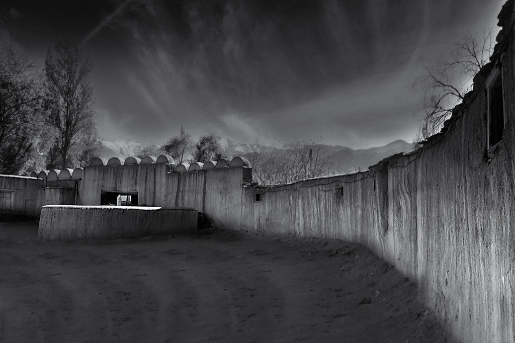
Photo below : Zorawar Singh’s fort at Leh, Ladakh


MG_8039ab-1024x682.jpg


MG_8044ab-1024x682.jpg


MG_8048ab-1024x682.jpg


In 1840, Zorawar Singh led an expedition to Baltistan, which is believed to be one of the most rugged mountain regions of the world. It is situated in the Karakoram range to the south of K2, the world’s second highest mountain. Since 1757, Baltistan was under the rule of Ahmed Shah Durrani of Afghanistan. If not for this expedition, Baltistan would today be a part of Afghanistan. Baltistan is the region where live the Dards along with Balti people. Dards are of European origin, believed to be descendants of the soldiers of Alexander The Great (327 BC).

Photo below : Dards tribes are mainly in Baltistan in Pakistan territory but this photo is from India.


MG_8755-final2-as-759x1024.jpg


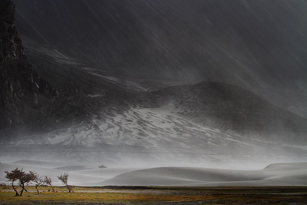
Having conquered Baltistan, General Zorawar Singh returned back to Leh via the Khapalu – Chorbat – Nubra valley route. Nubra valley is a high altitude cold desert at 10,000 feet. It is on the historical silk route.


Photo below : Nubra Valley, Ladakh

IMG_1064s1-1024x682.jpg


MG_7608s1-1024x682.jpg


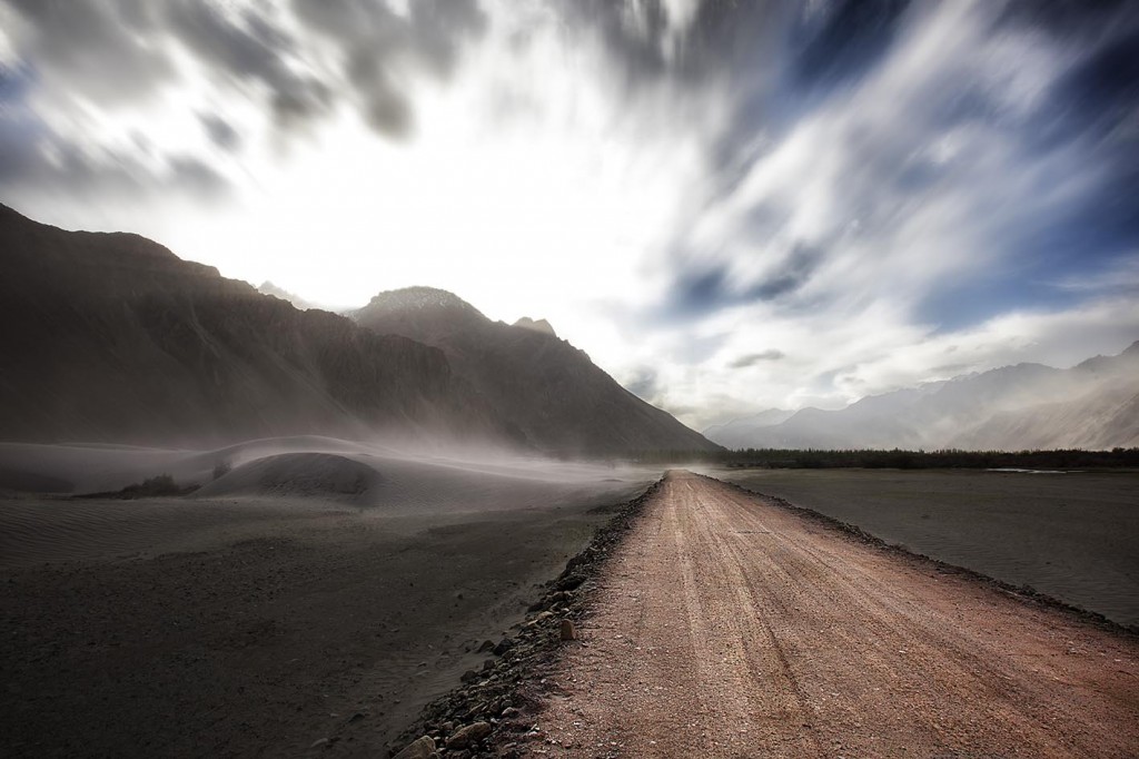
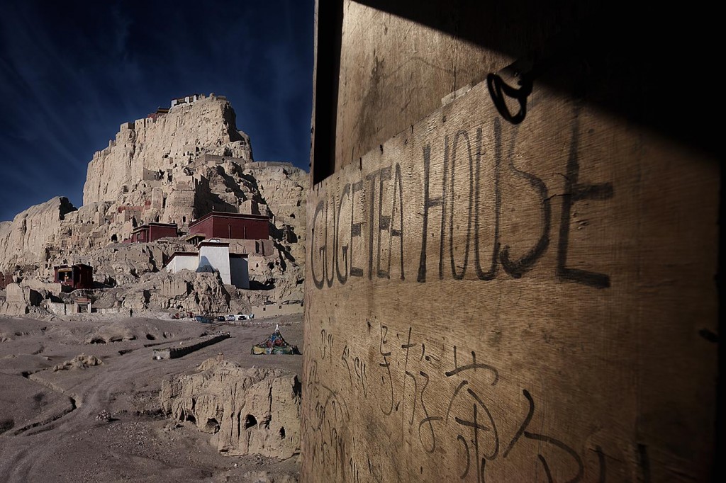
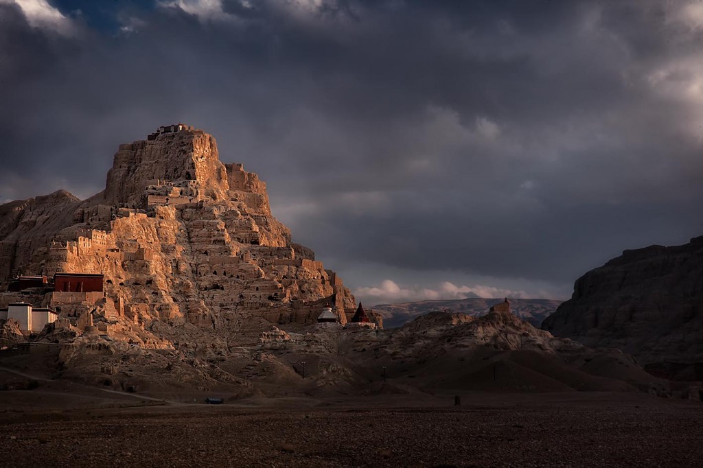
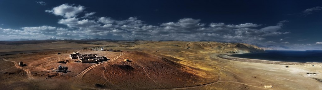
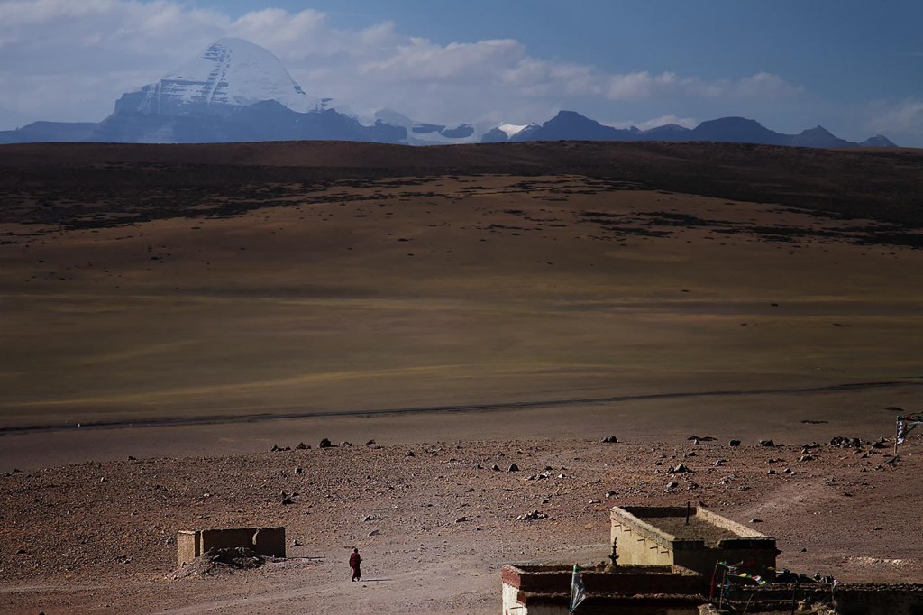
In 1841, General Zorawar Singh turned his attention to the roof of the world, which led him to Western Tibet. Crossing Pangong Tso lake at 14,300 feet, at the Ladakh – Western Tibet border, hetravelled via Guge kingdom, Tholing, Purang to Mount Kailash and Mansarovar.

Photo below : Pangong Tso lake, Ladakh – Tibet border


MG_3987-1024x682.jpg


Photo below : Guge kingdom, West Tibet

MG_3362s-1024x679.jpg


Photo below : Guge kingdom, West Tibet


MG_4046s-1024x682.jpg


At Purang Valley, which lies separated from Mansarovar by the Gurla Mandhata range, his forces climbed the Gurla pass and reached Dogpacha. Here they were caught totally off-guard by the Tibetan forces. A fierce hand to hand battle resulted in the victory of Zorawar Singh, who captured the Tibetan army “Colors” flag, which till today lies in possession of the Indian Army.

Photo below : Gurla Mandhata range, Tibet


MG_3426s-1024x682.jpg


fter the visit to Mount Kailash and Mansarovar, General Zorawar Singh’s army turned South towards Taklakot, where a battle was fought with the Tibetan forces at the high altitude Mayum pass (17,000 feet).

Photo below : Lake Mansarovar & Mount Kailash, Tibet

DSF0548-as-1024x287.jpg


MG_3456s-1024x682.jpg


In an operation lasting three and a half months, some 550 miles of Tibetan territory was captured by General Zorawar Singh.

In July 1841, GT Lushington, the British Commissioner of Kumaon in India learnt that extensive territories in Tibet have been captured. British were alarmed and decided to send Captain JD Cunningham to the Sikh Darbar in Lahore to discuss the matter as this was seen as a threat to British India. Lahore Darbar remained evasive of Cunnighams queries thus letting General Zorawar Singh have more time to complete his task.

By now the winters were fast approaching. General Zorawar Singh decided to move to Tirthapuri and prepare for the offense in the coming summer months.
Photo below : Tirthapuri, Tibet

MG_4053s-682x1024.jpg


While the General had everything going his way as he had sealed the Mayum pass before arrival of winters but he made a small miscalculation. He did not take into account that forces from Lhasa could also reach via the Matsang pass, which was South of Mayum pass and was negotiable even in the winter months. This was a strategic mistake. In the peak winter months, as General Zorawar Singh’s forces became complacent, the Tibetan forces attacked through Matsang pass and caught them off-guard. High altitude battle in the peak winter months against a large Tibetan force was fought. During the night the weather turned against them with a heavy snow storm. Many soldiers were frost bitten and were dying due to insufficient clothing.


On 12th December, 1841 General Zorawar Singh was hit by a bullet on his left shoulder and died at Taklakot. Even though the morale of the forces was broken, it was only by January 1842 that the last fortifications, under the command of Basti Ram (military officer of General Zorawar Singh) abandoned their positions. With him, many soldiers crossed the Tibetan plateau but only 242 of them reached Askot in Kumaon, which was in the British India territory. From here they continued the journey to Ludhiana and entered the Sikh kingdom to the east of river Sutlej.


General Zorawar Singh’s severed head was carried to Lhasa where it was placed at a thoroughfare for public viewing.

Photo below : Potala Palace, Lhasa, Tibet (General Zorawar Singh’s severed head was placed for public viewing)

MG_2618s-1024x682.jpg


The Tibetans however also recognized the valor of General Zorawar Singh and built a Chorten (Cenotaph) at Taklakot in his memory. Even today, the Tibetans call it “Singh ba Chorten” or the Cenotaph of the “Singh Warrior”.

Photo below : “Singh ba Chorten” as called by Tibetans, translated as “Cenotaph of the Singh Warrior”, Taklakot, Tibet


IMG_0003s-1024x713.jpg


About the soldiers who were taken into captivity, Tsepon W. D. Shakabpa, who served as Tibet’s Secretary of Finance from 1930 -1950, writes on page 243 – 244 of his book, TIBET – A Political History : “Over three thousand Sikhs were killed in the course of the foray. Seven hundred Sikhs and two Ladakhi ministers were taken prisoners. The remainder of the defeated army fled…. Those prisoners wishing to return to their country were allowed to do so….. One third of the Sikhs and Ladakhi prisoners elected to remain in Tibet. The Sikhs were resettled in warmer regions of Southern Tibet by the government and many married Tibetan girls. The Sikhs are known to have introduced the cultivation of apricots, apples, grapes and peaches into the country.”


So what about the skeletons at Roopkund lake? Are these of the retreating soldiers accompanying Basti Ram, who may have lost their way and perished at the high altitude?


A recent expedition to Roopkund lake by a National Geographic team retrieved about 30 skeletons and their carbon dating has placed the time of mass death to 9th century AD.

The National Geographic documentary can be viewed at this link.Rookpkund National Geographic


While the mystery of Roopkund, through scientific investigation has negated it’s linkage to the Tibet expedition of General Zorawar Singh, but a curious conversation with Mr. Vaishnav at The Doon School in the year 1983 has sub-consciously led me to these remote places, tracing the footsteps of General Zorawar Singh.


A journey performed over thirty years and I hope to continue to discover more places where the General had once stepped.


P/S : I was delighted to be contacted by Sukhbinder Singh from UK, who is a private collector of arms and armours. In his collection lies a pistol of General Zorawar Singh. Visit the the Youtube video in link below and at the 16.41 second mark, you will find him showing and talking about the pistol.


http://amardeepphotography.com/general-zorawar-singh/


Back
Top Bottom