Garden on the way to Hooper.
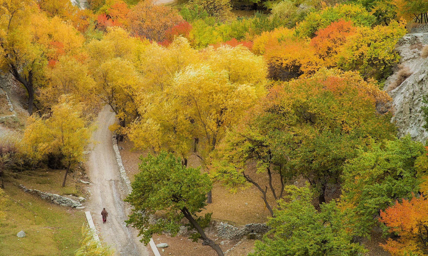
On the way to Hooper.
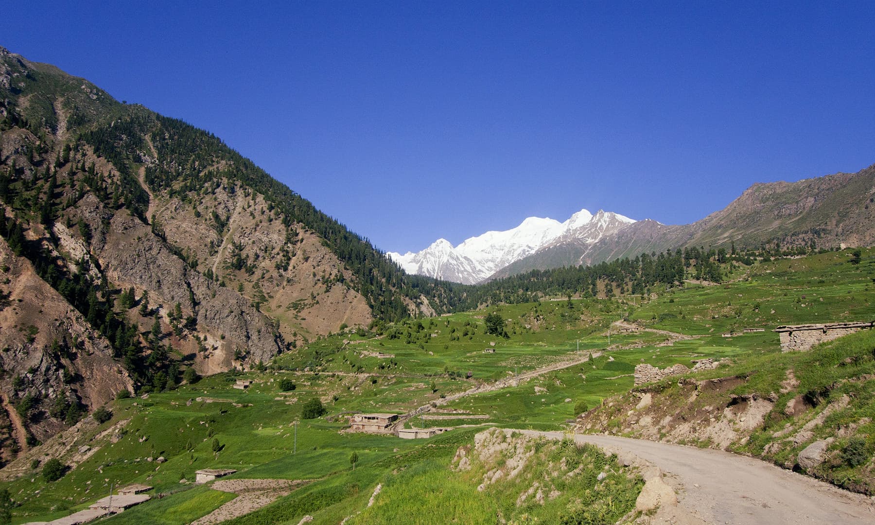
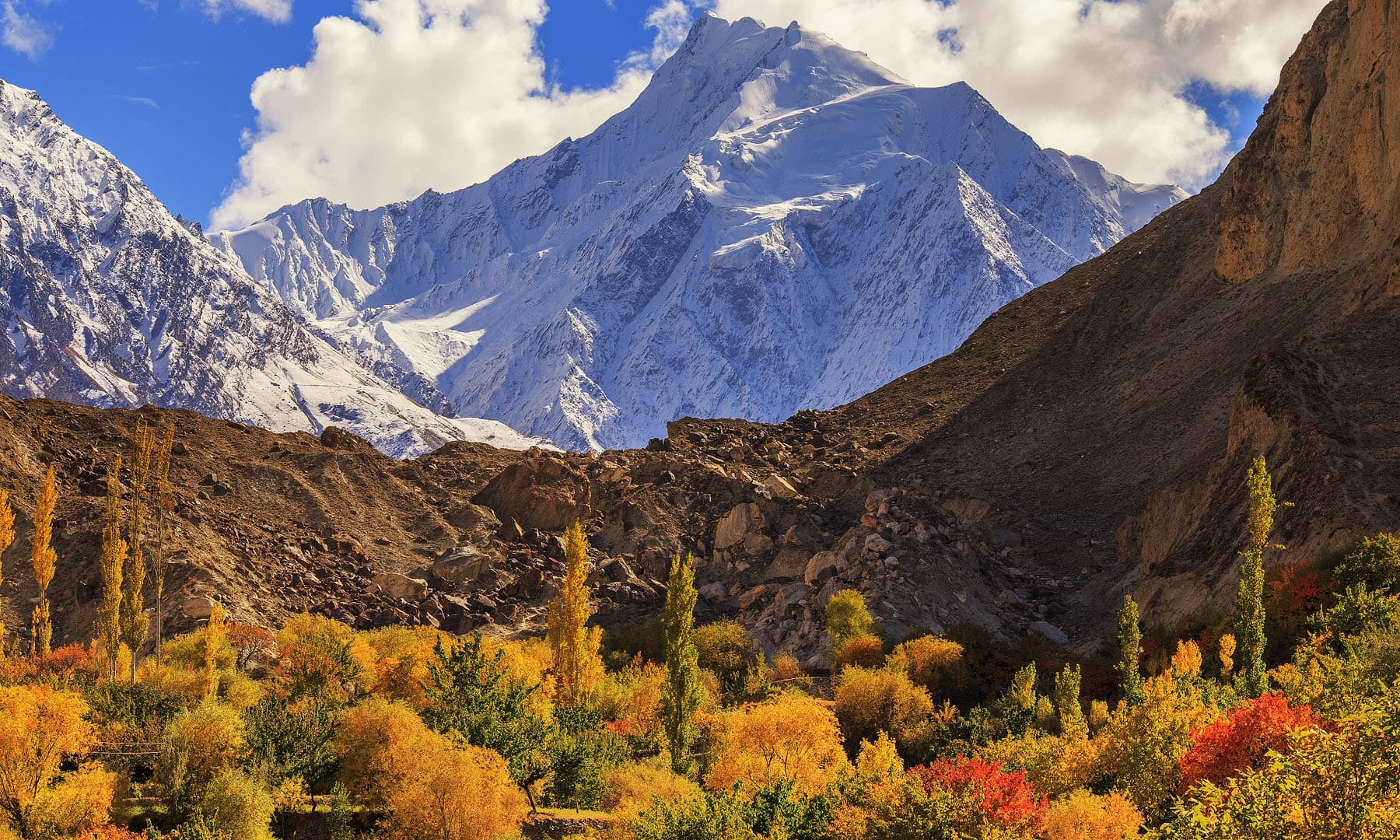
Rakaposhi view from Nagar.
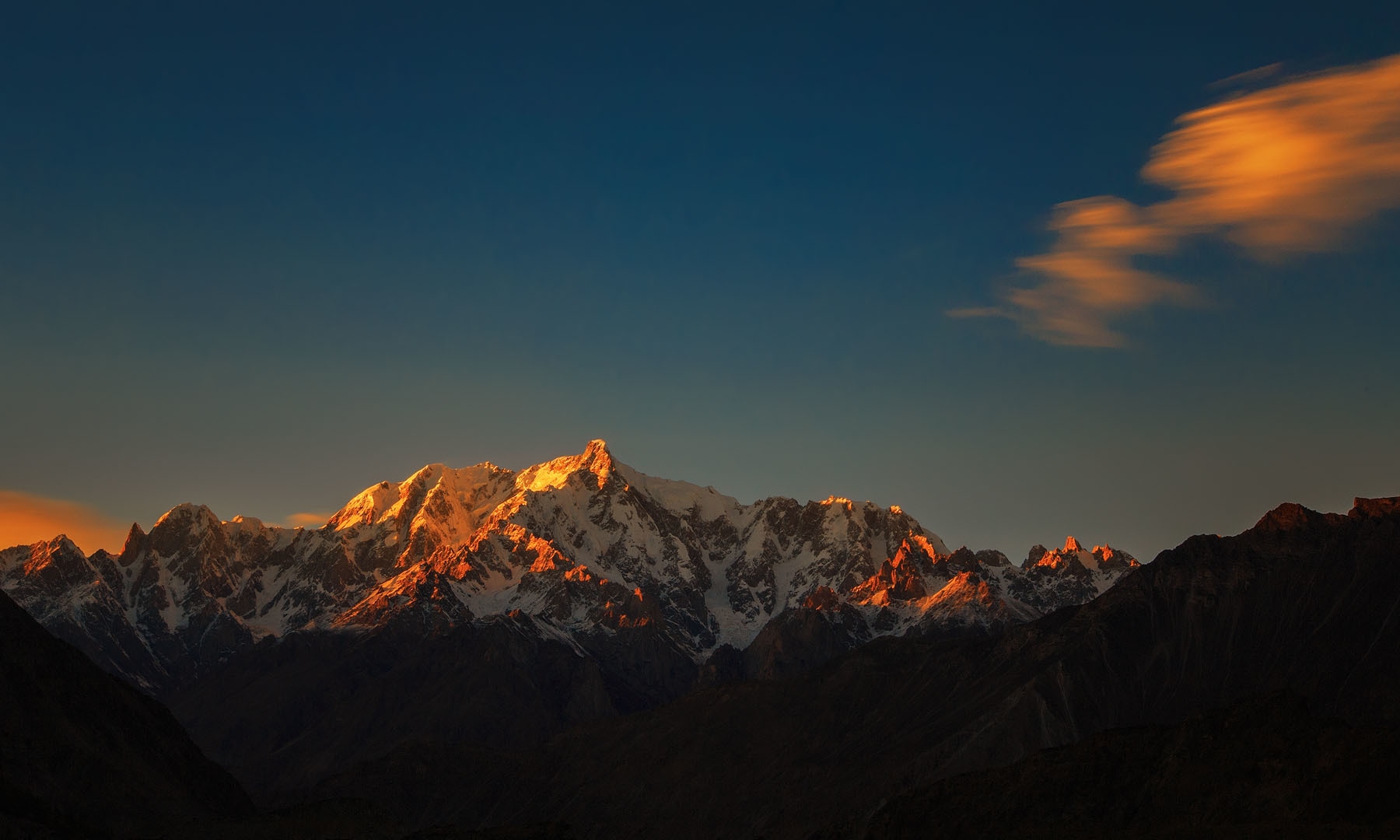
Sunset on Altar peak from Nagar.
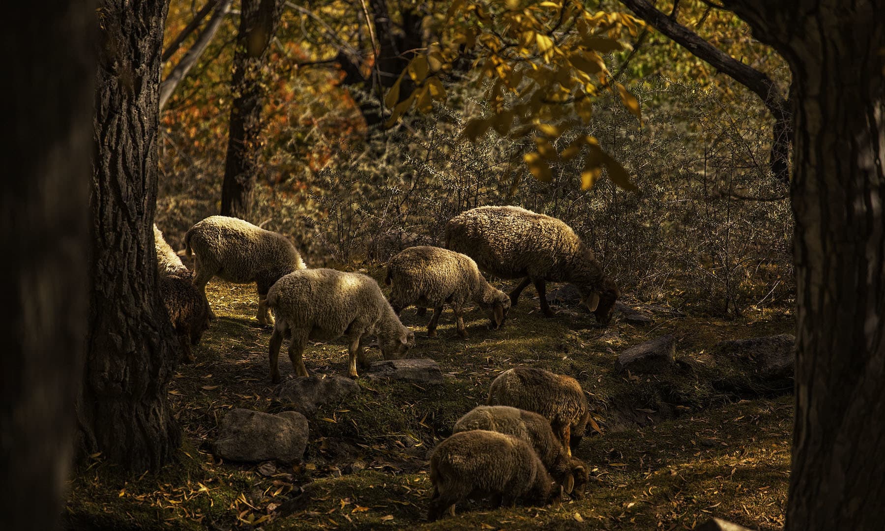
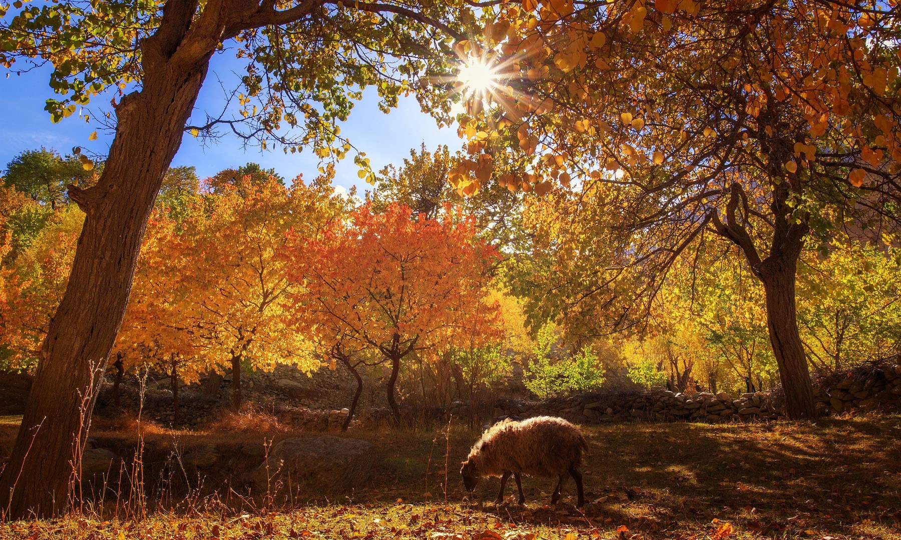
A cattle is pictured grazing
A cattle is pictured grazing
Heading towards Hunza through the Karakoram Highway, I notice a long line of vehicles standing in queues due to a massive landslide blocking the road near Minapin. My driver takes an alternate route through the Minapin village, as I watch the stunning scenery race past. From the precariously narrow and bumpy route my driver takes, I lookout for the Karakoram Highway.
After a two-hour drive, we finally manage to get back on the Karakoram Highway. While the engine accelerates briskly on our way to Hunza, for the first time ever, I see Nagar.
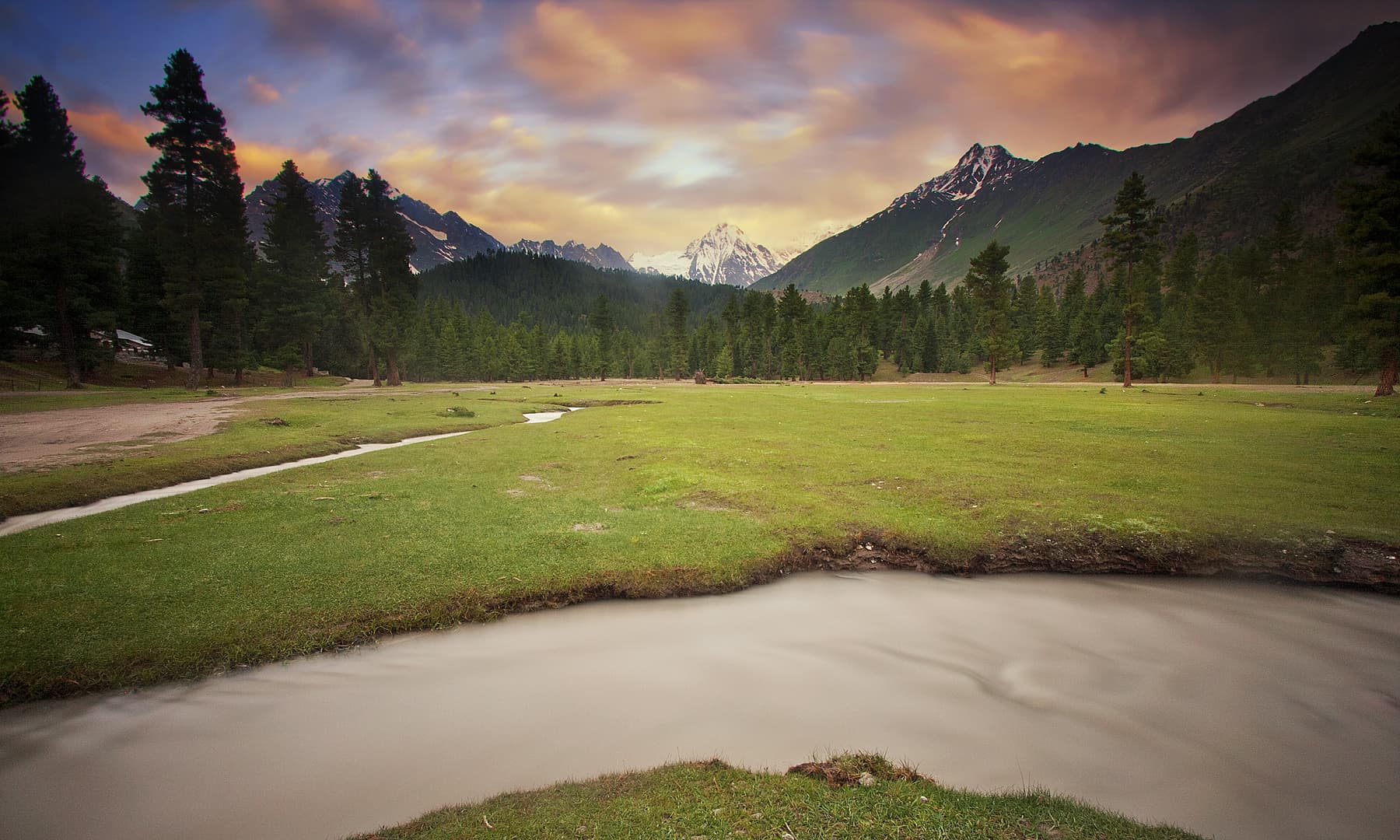
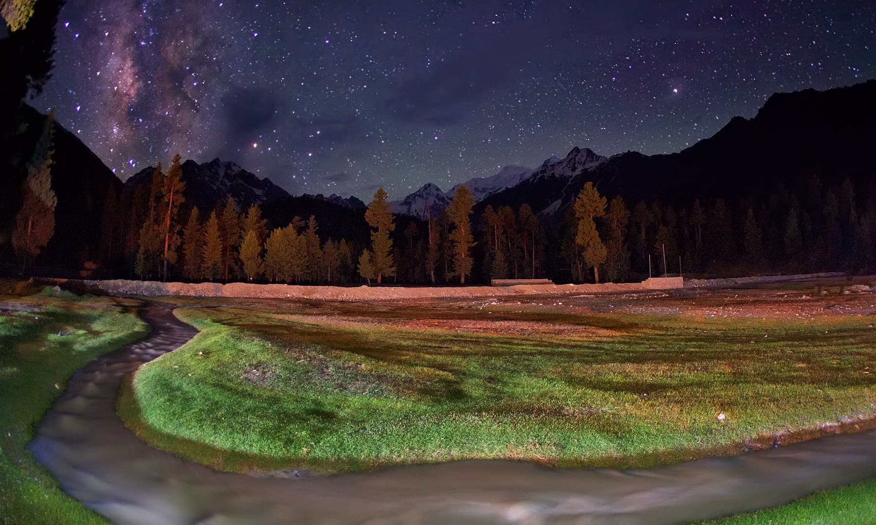
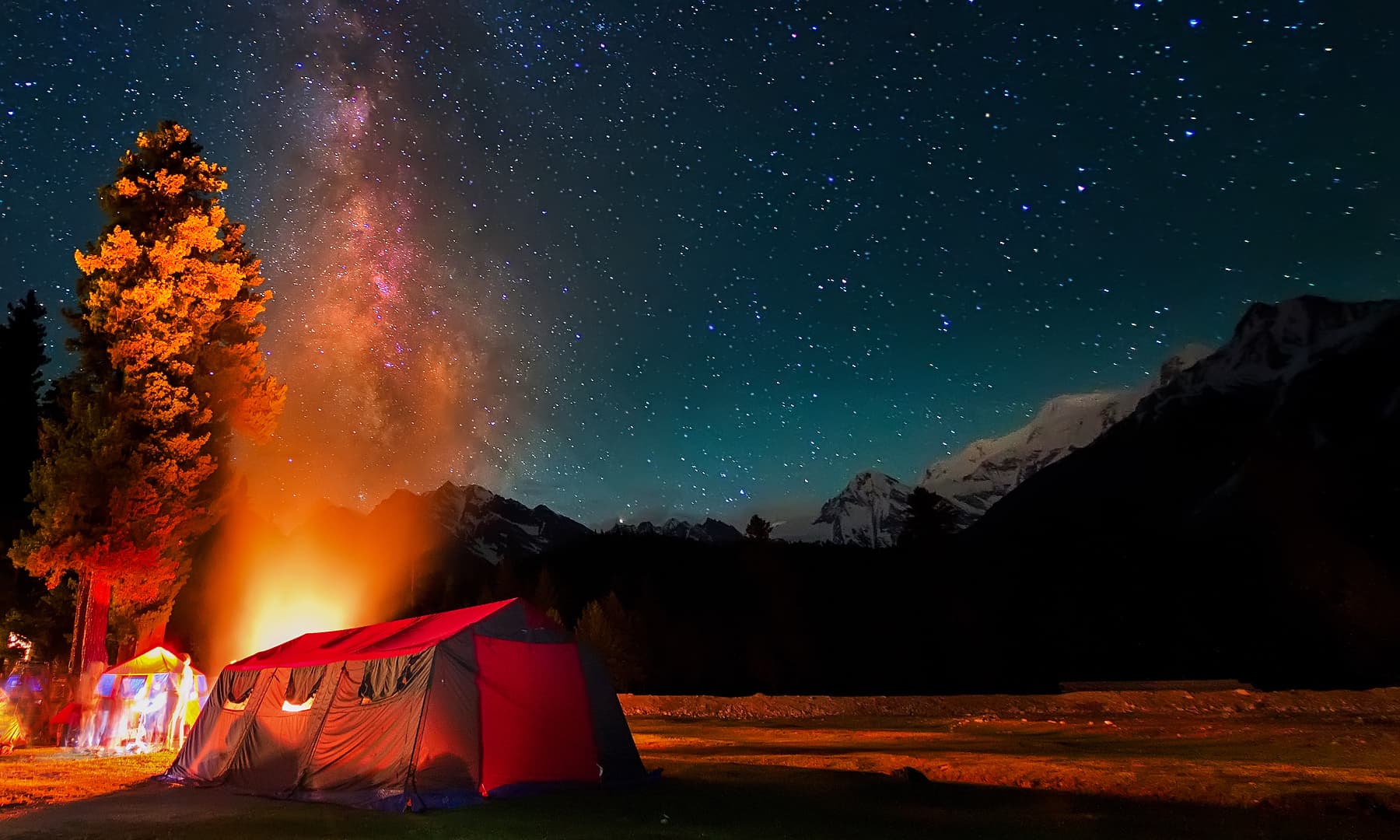
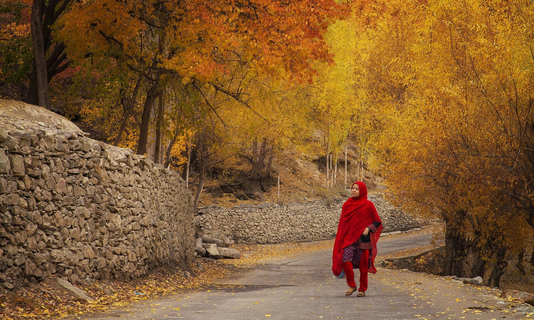
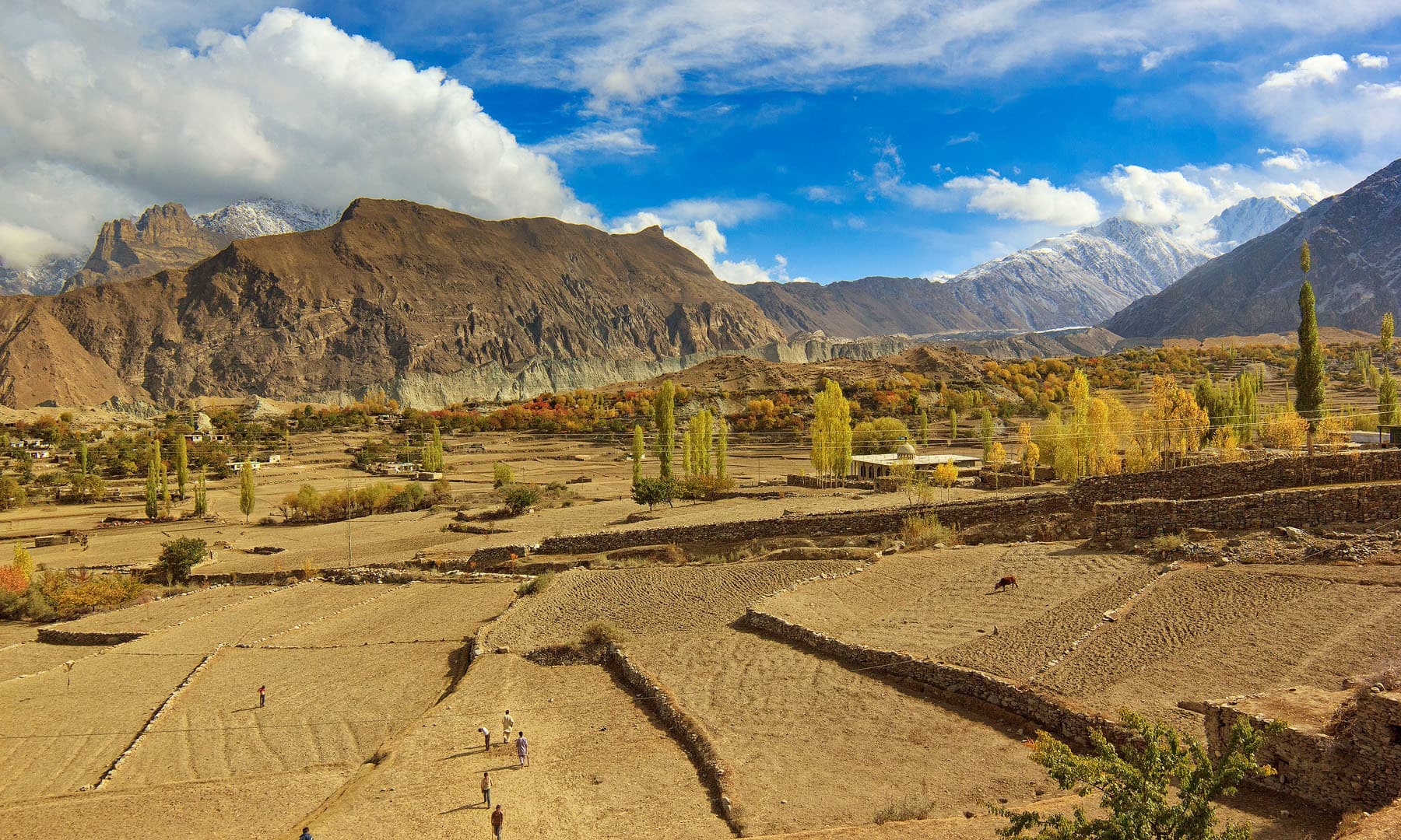
Luscious green grassland with Golden Peak in the backdrop, I see happy faces peering out, local children playing, women stretching their backs into the sunshine amid work, and animals grazing fields — Nagar is known for its serene village life.
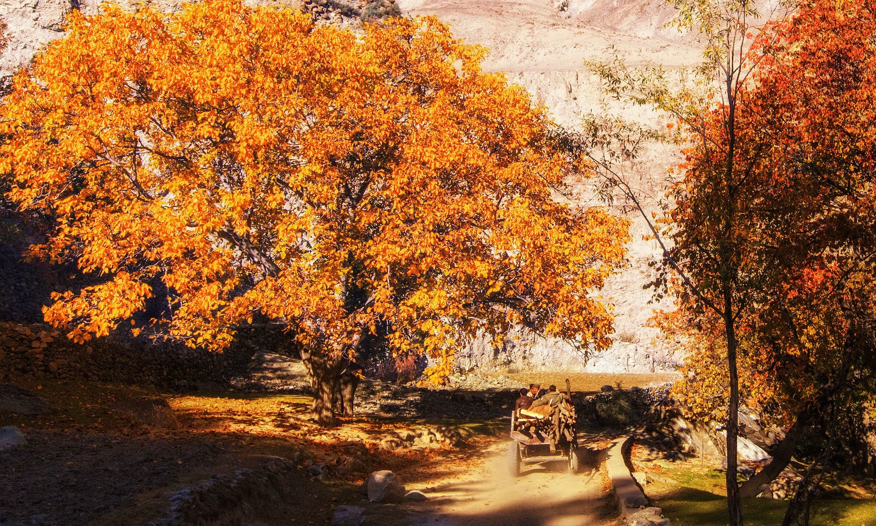
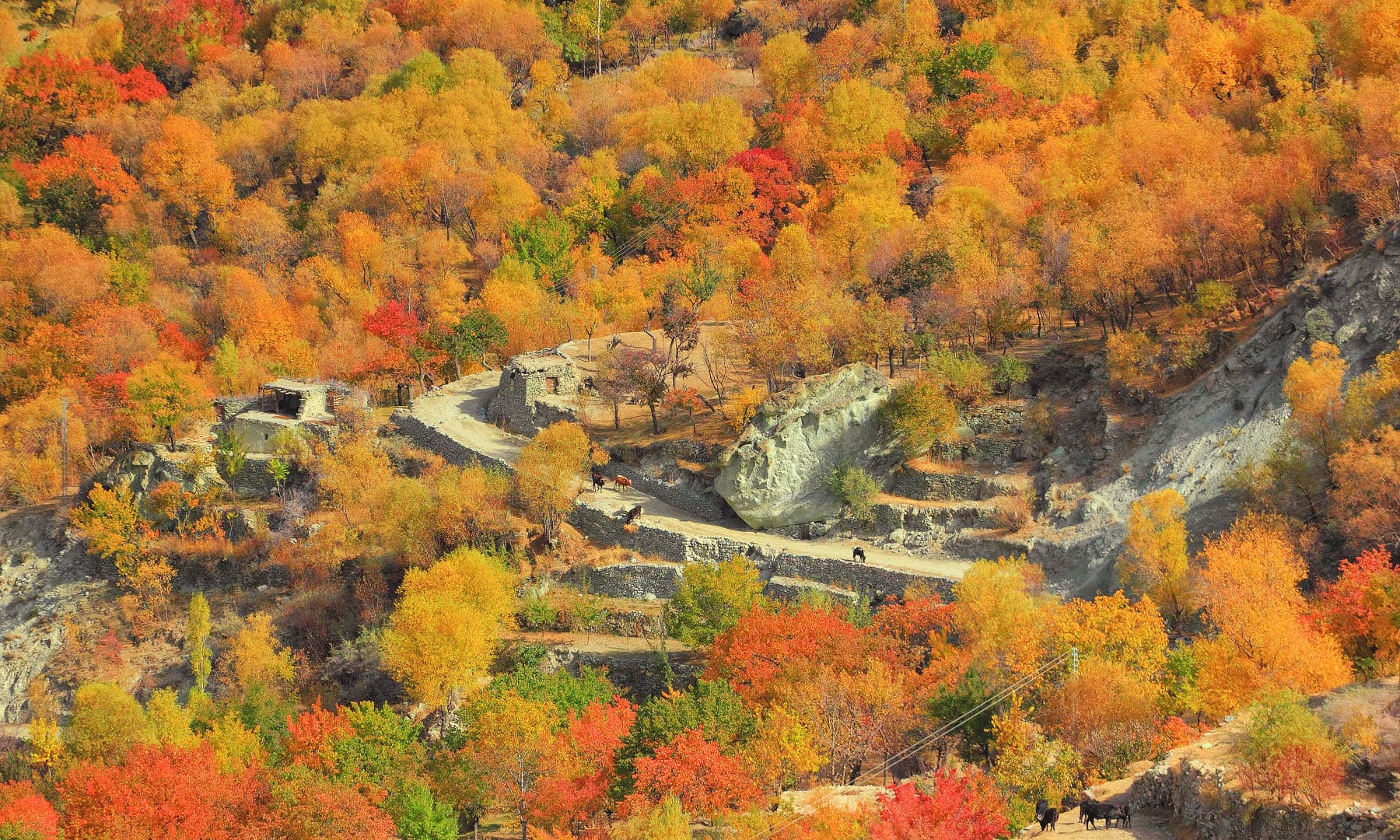
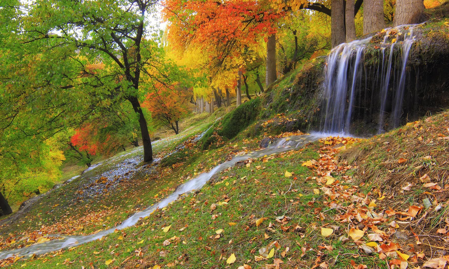
As soon as one leaves Hunza and crosses the river bridge after Ganesh village, a road turning right leads to Hooper. Before Hooper is Nagar Khas, which used to be the centre of Nagar. The area is flecked with fruit trees including cherries, apples, and apricots.
Nagar Khas is full of hard-working, soft-spoken people with small homes and shops. A road from the Nagar Khas Bazar leads to the last village of north, Hispar, and another towards Hooper, which houses glaciers and the Rush lake. There is no human settlement after Hooper.
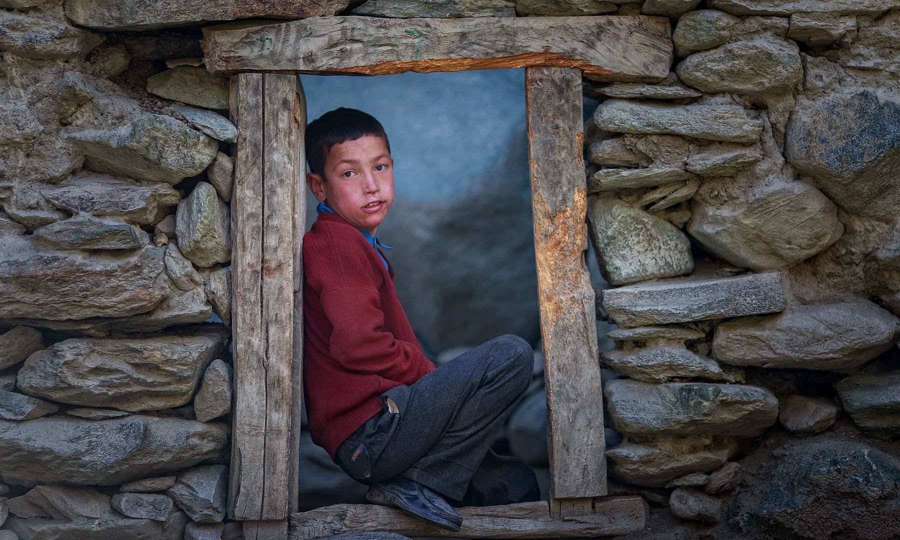
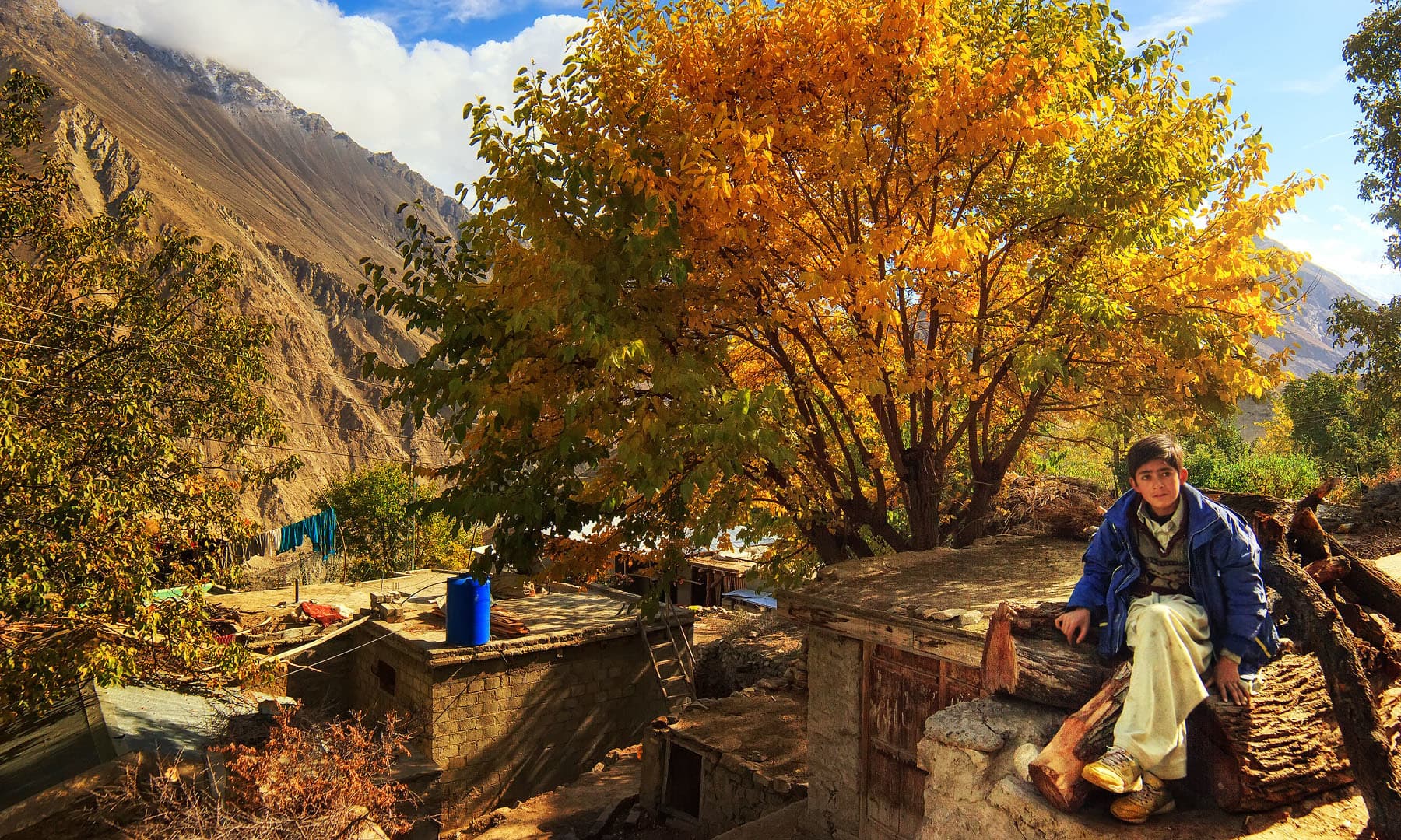
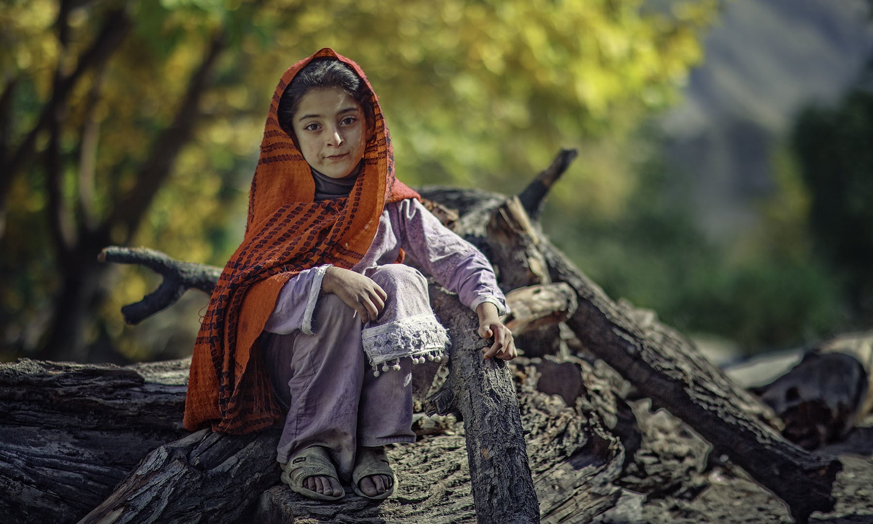
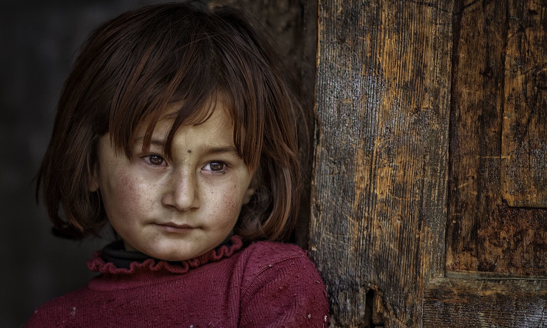
A child in Nagar.
A child in Nagar.